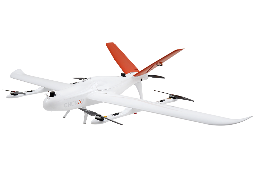
P330 PRO
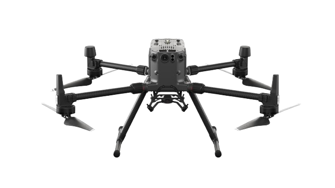
M300 RTK
M400

AA9
ORION H300
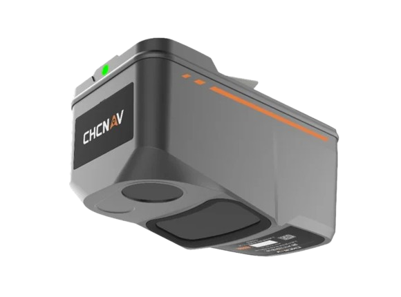
ALPHAAIR 450
i83
i89
i90
A7 II
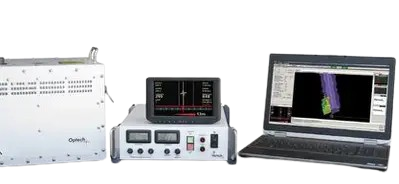
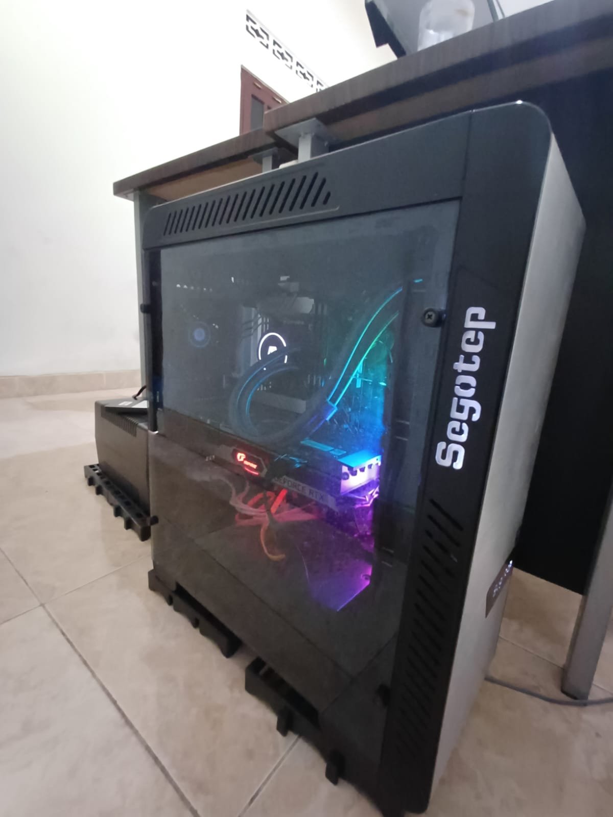
WORKSTATION
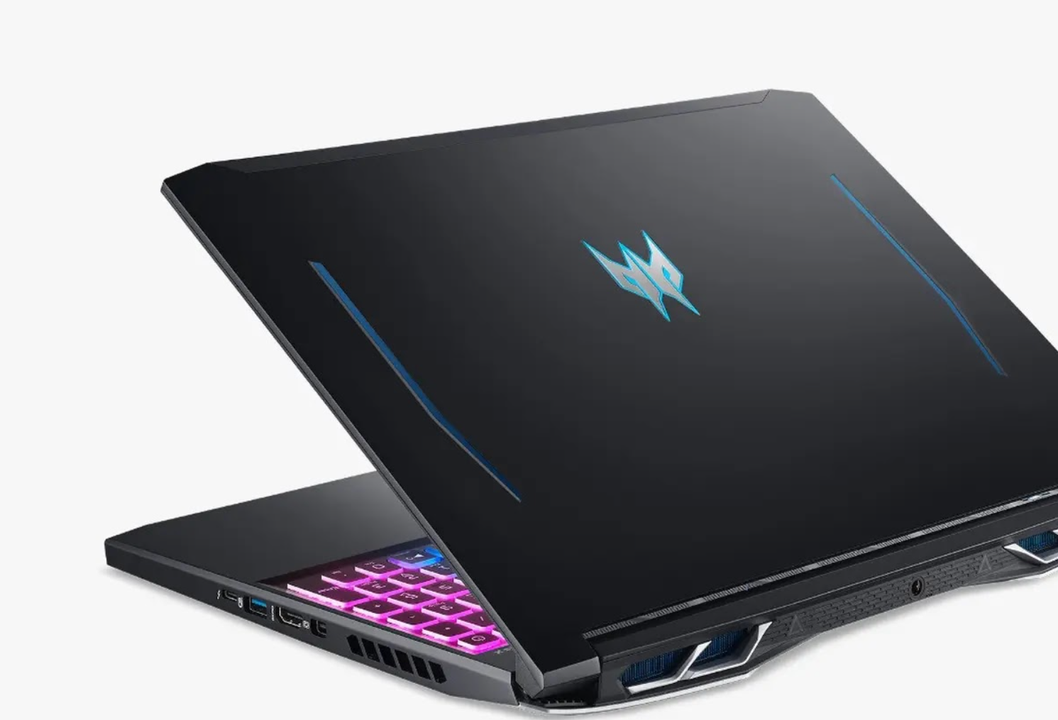
PREDATOR
×
![Fullscreen View]()