Boundary Determination
Surveying and mapping services to accurately determine and affirm boundary positions according to technical and legal data.
Introduction
Boundary determination is a surveying and mapping activity that aims to determine, affirm, and ensure the boundary position of a land parcel, region, or work area accurately according to applicable technical and juridical data. This activity is carried out to provide certainty of boundary locations in the field, thereby minimizing the potential for overlapping and boundary disputes between parcels or areas.
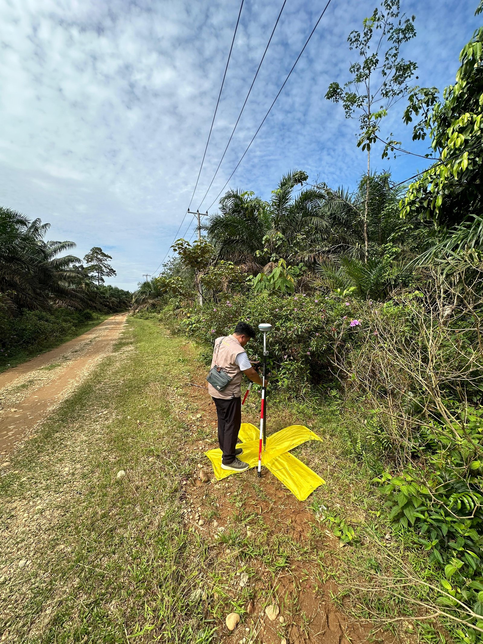
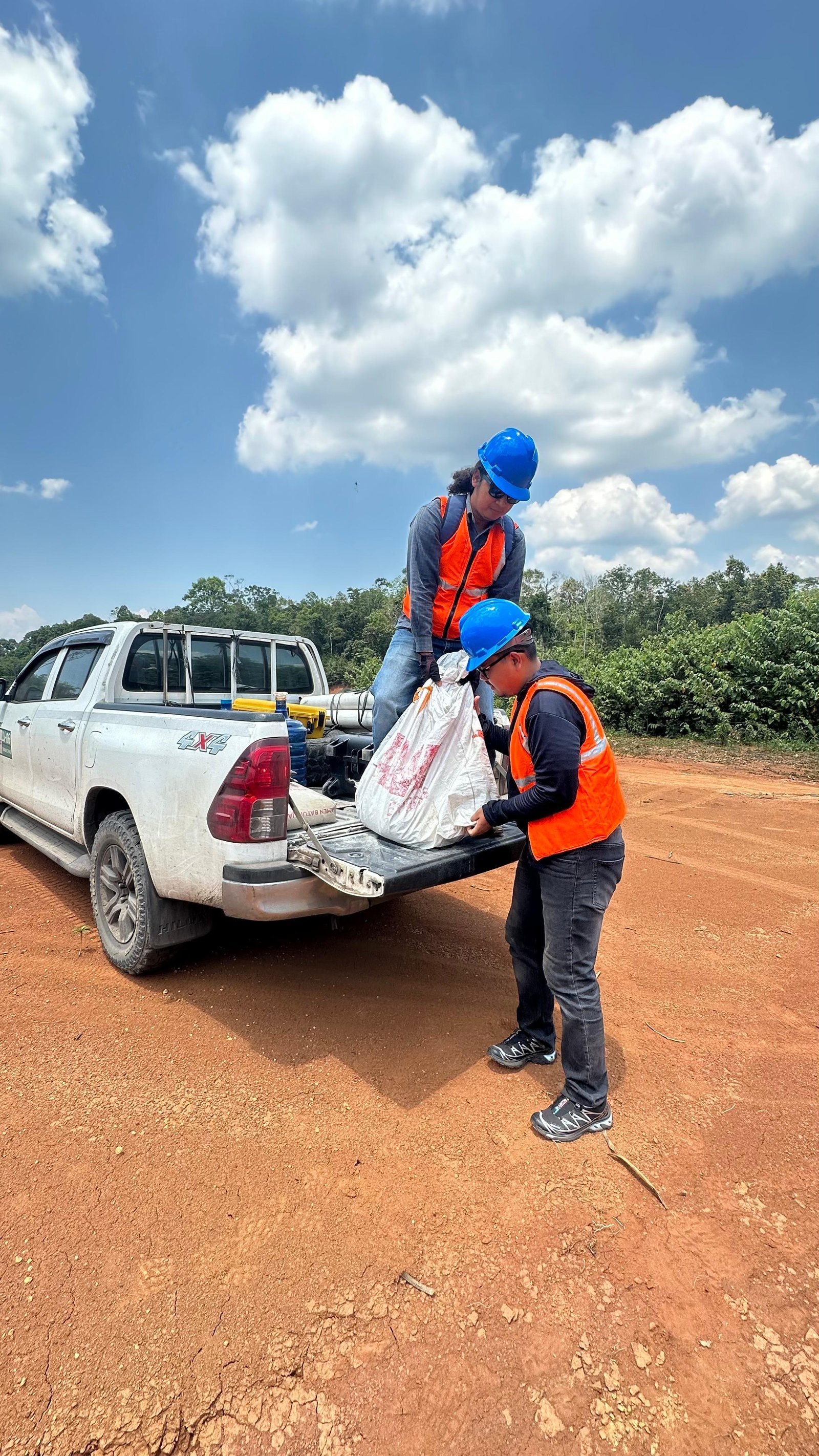
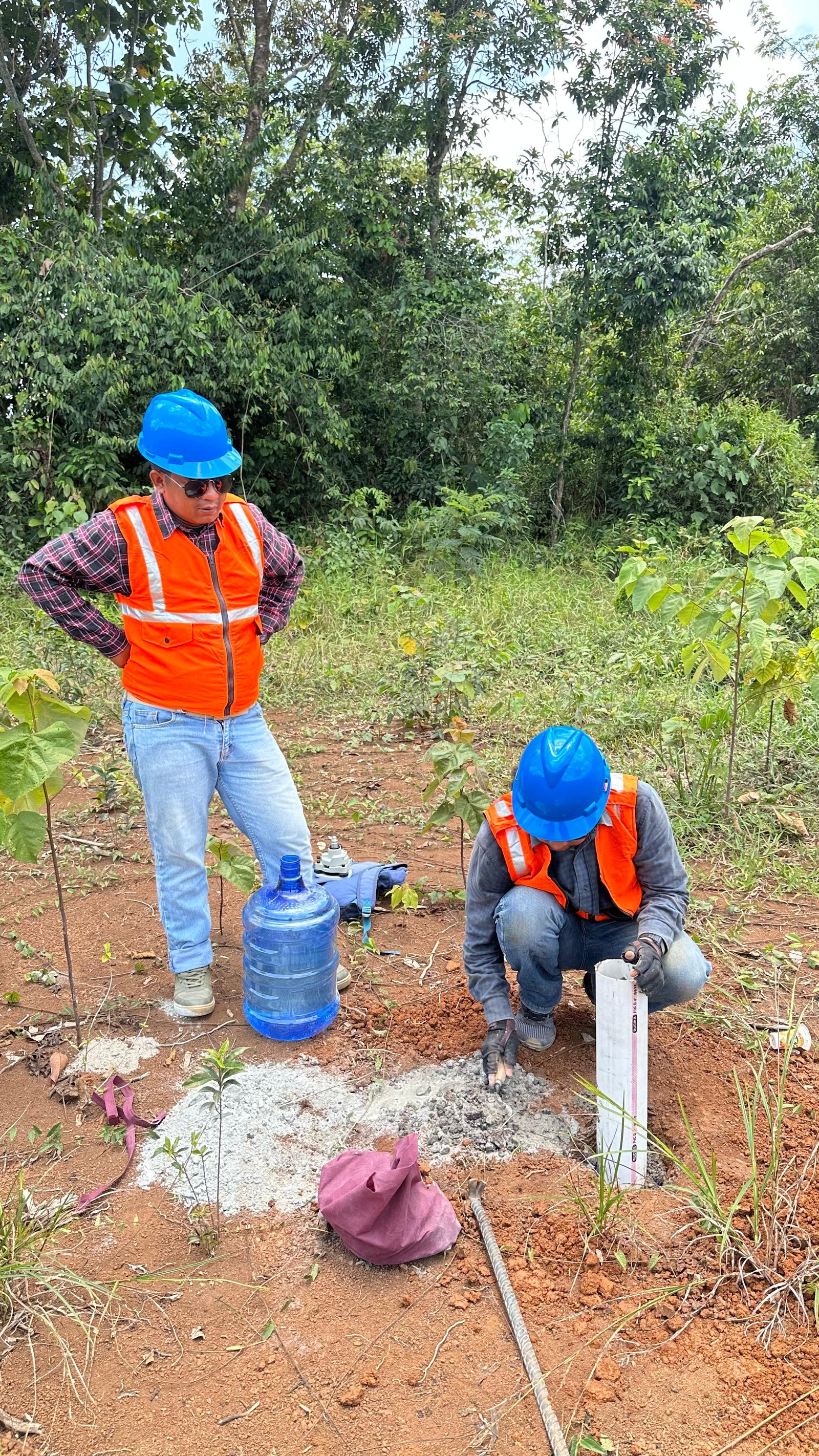
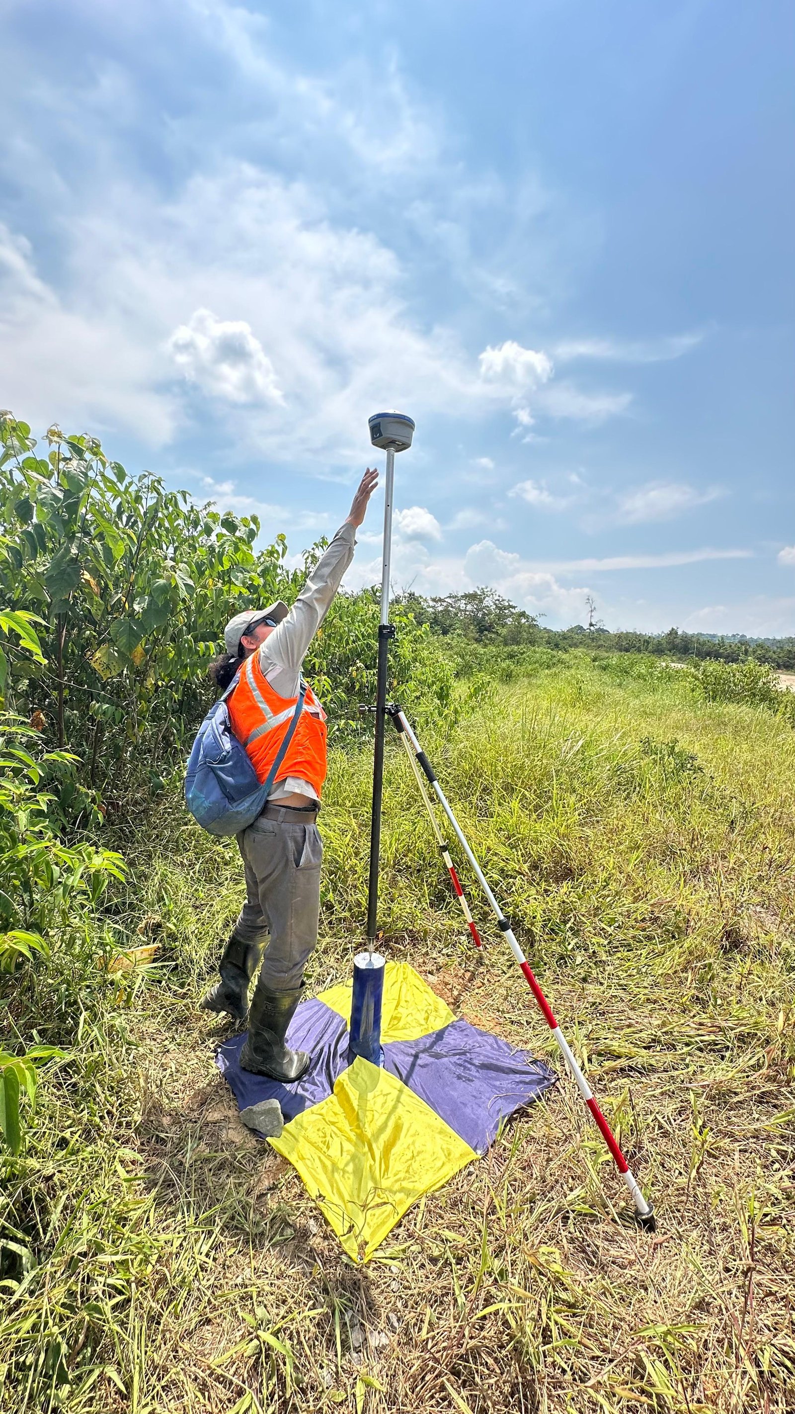
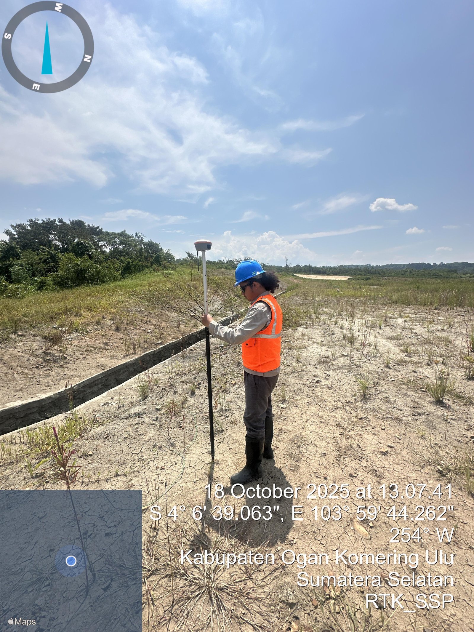
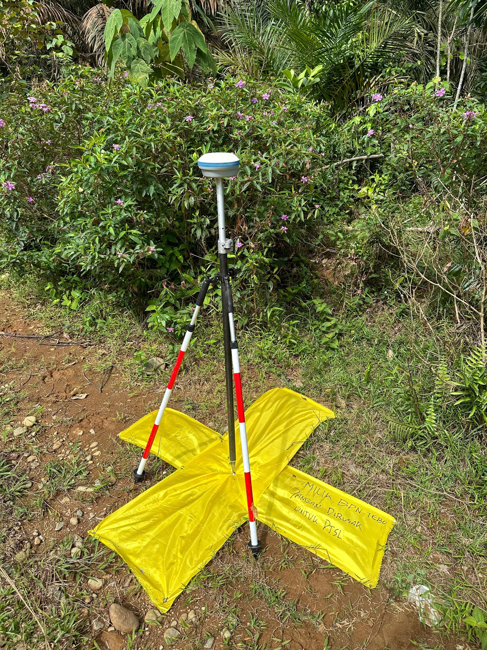
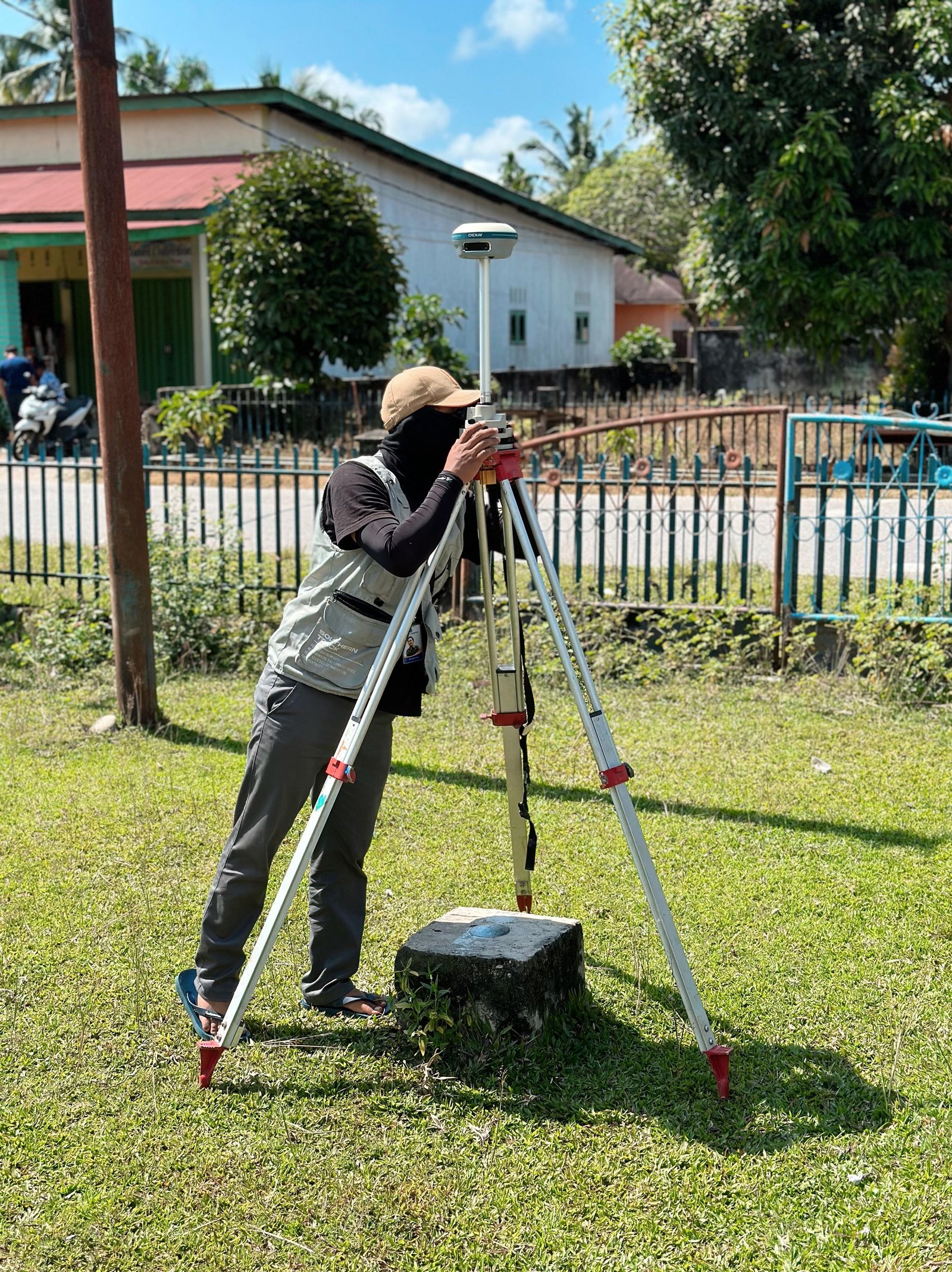
In its implementation, the boundary determination process is carried out through data collection, field measurement, boundary marker installation, to spatial data processing and validation using modern surveying technologies such as GNSS, total stations, UAVs, and GIS-based geospatial information systems.
Service Advantages
Accurate and Precise
Guarantees the boundary position of land or areas according to field conditions with high accuracy.
Modern Survey Technology
Uses the latest equipment and data to produce more optimal and reliable boundary information.
Technical Standard Compliance
Survey execution is carried out systematically following applicable technical standards and procedures.
GIS System Integration
Data output can be directly used for geospatial-based analysis and management needs.
Legal Certainty Support
Helps ensure boundary clarity to support official land legality and administration.
Utilization
Land Parcel Boundary Determination
Used to determine land ownership boundaries clearly and measurably.
Regional Boundary Affirmation
Helps clarify administrative boundaries or specific areas in the field.
Asset Inventory & Security
Supports accurate data collection and protection of land or property assets.
Land Administration
Used as supporting data for the certification process and land document management.
Spatial Planning
Provides boundary information needed to support regional and development planning.
Service Output
Parcel/Regional Boundary Map
Displays clear visualization of area boundaries in map form.
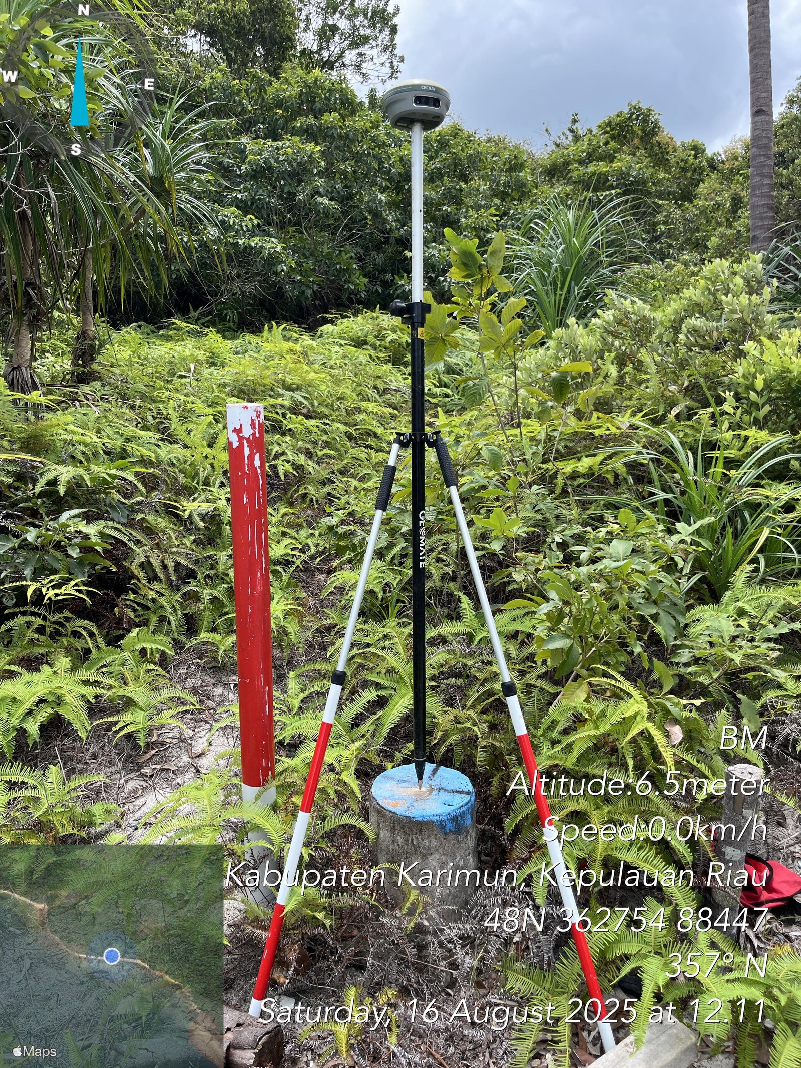
Accurate Boundary Coordinates
Contains positioning data of measured boundary points with high precision.
Digital Spatial Data
Digital data ready to be used for various mapping and GIS needs.
Survey Result Report
Complete documentation of the field measurement process and results.
Integration-Ready Data
Outputs can be directly utilized in land administration and GIS systems.
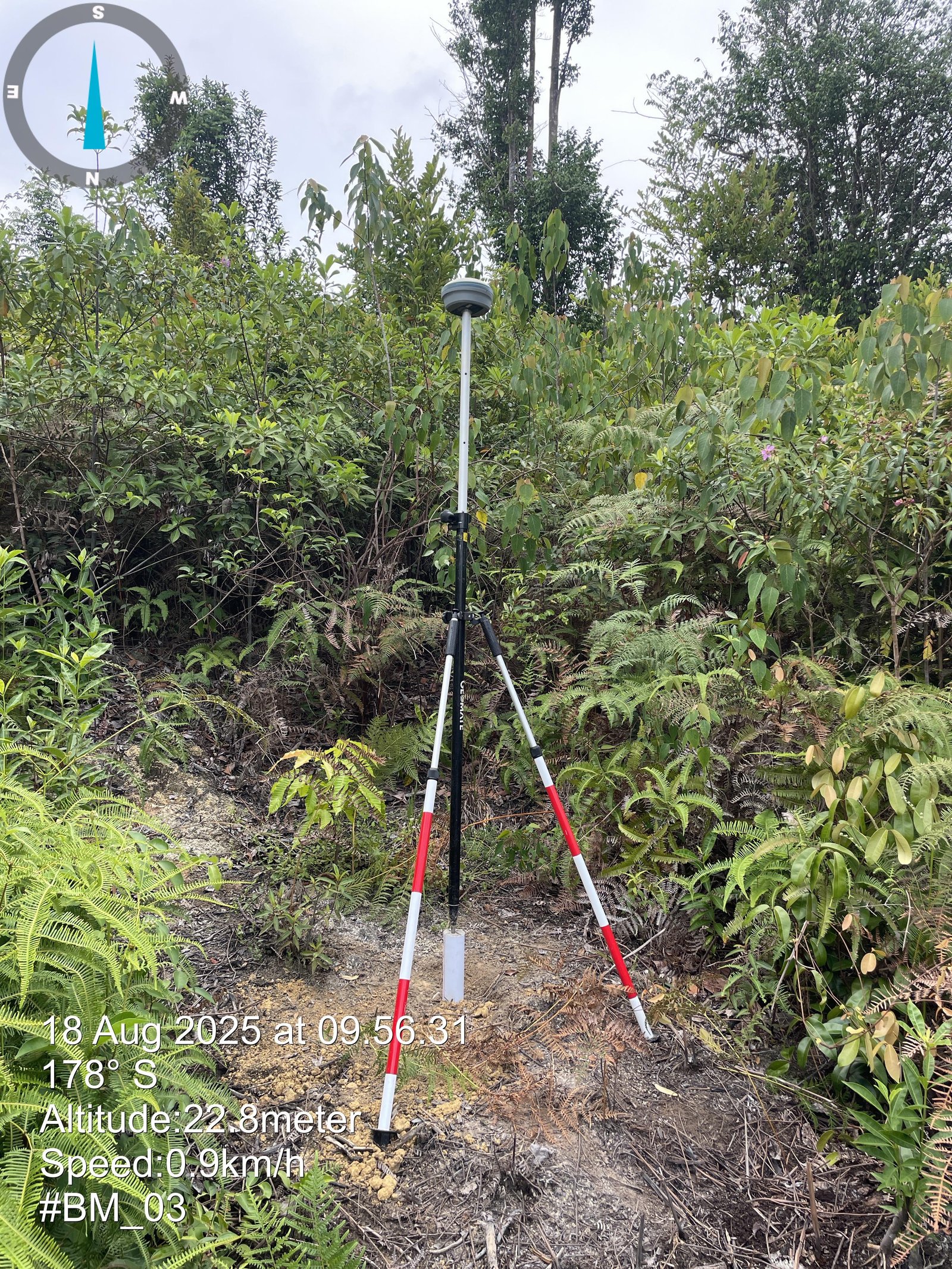
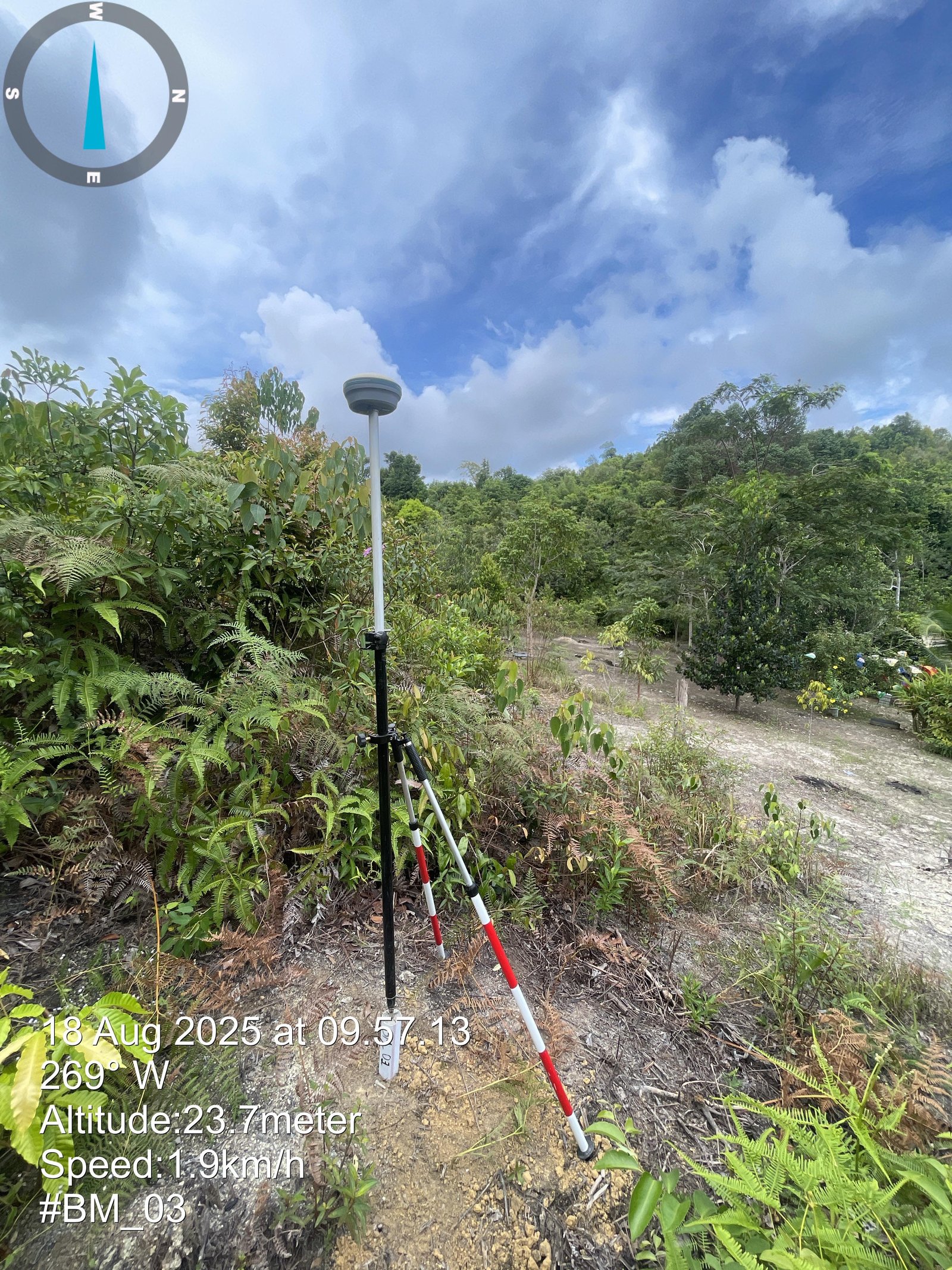
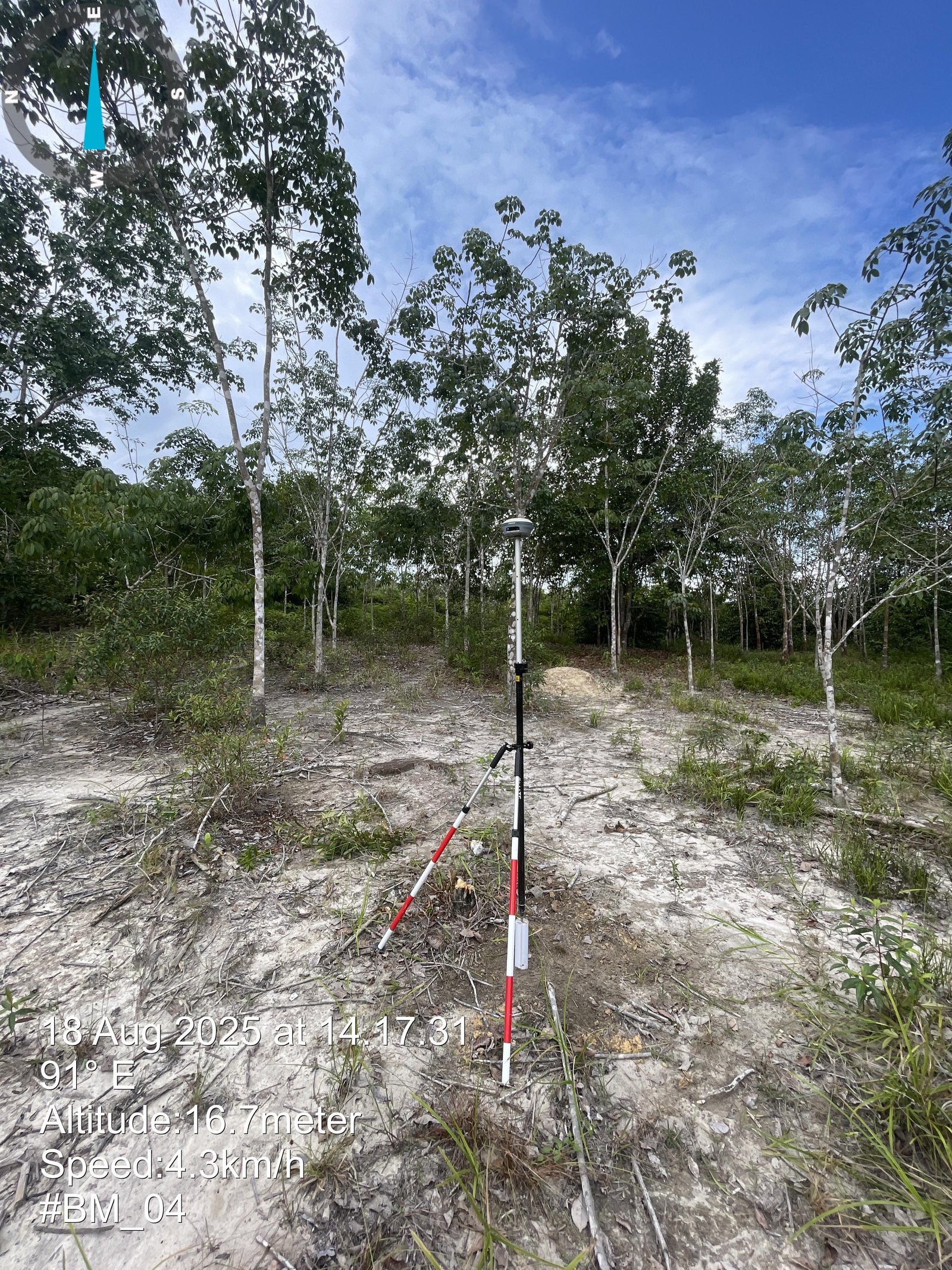
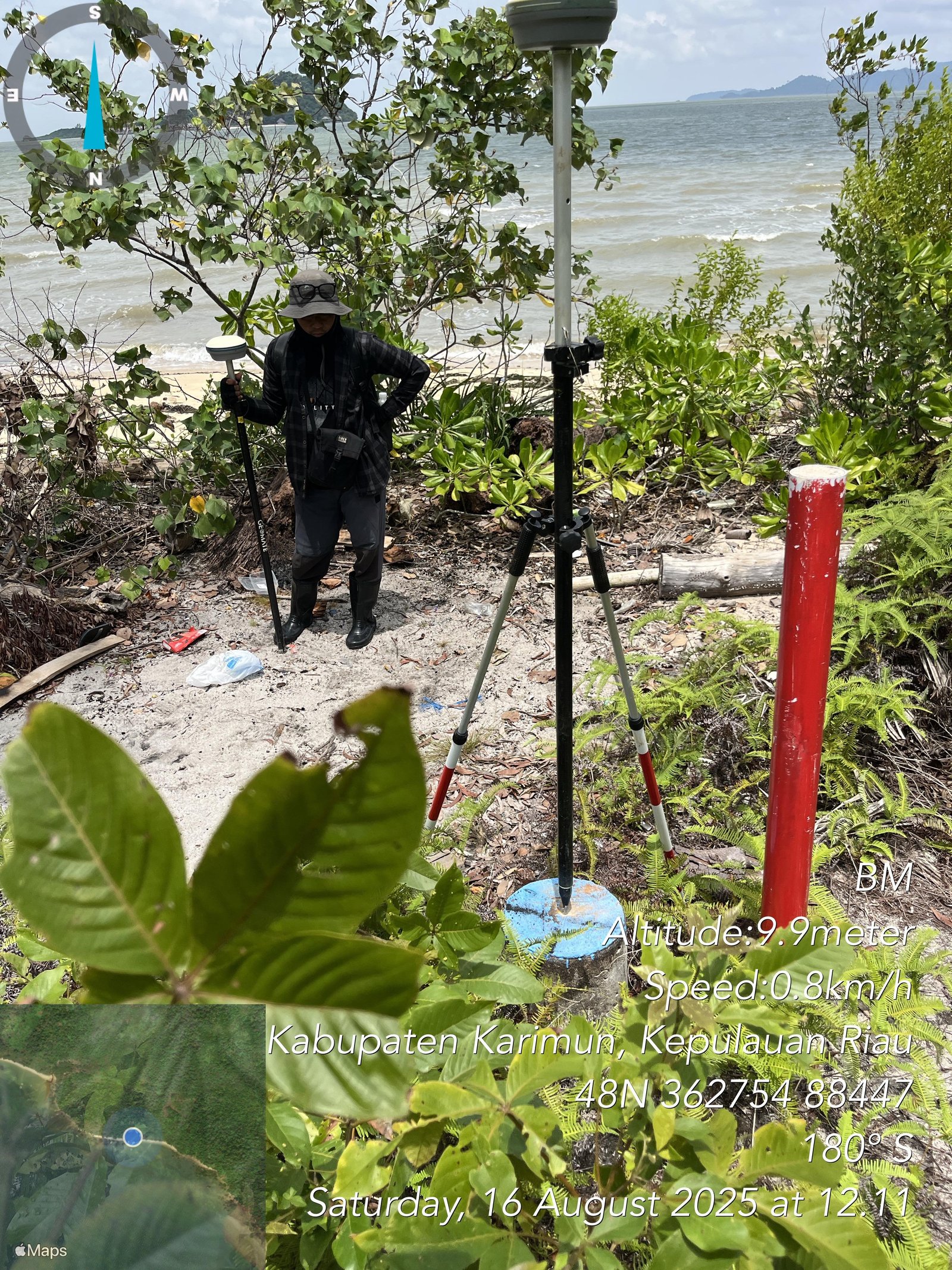
Sample Output
.jpeg)
 (1).jpeg)
.jpeg)
.jpeg)
.jpeg)
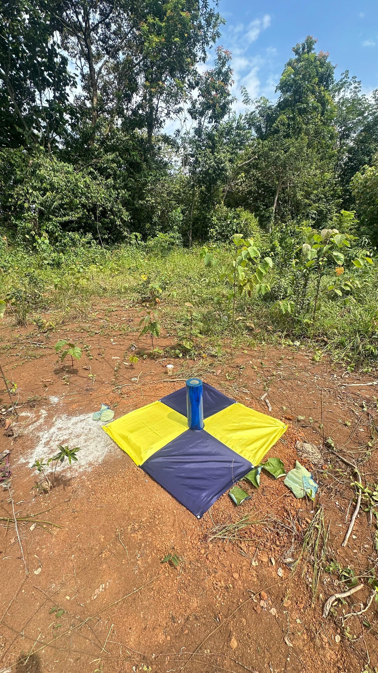
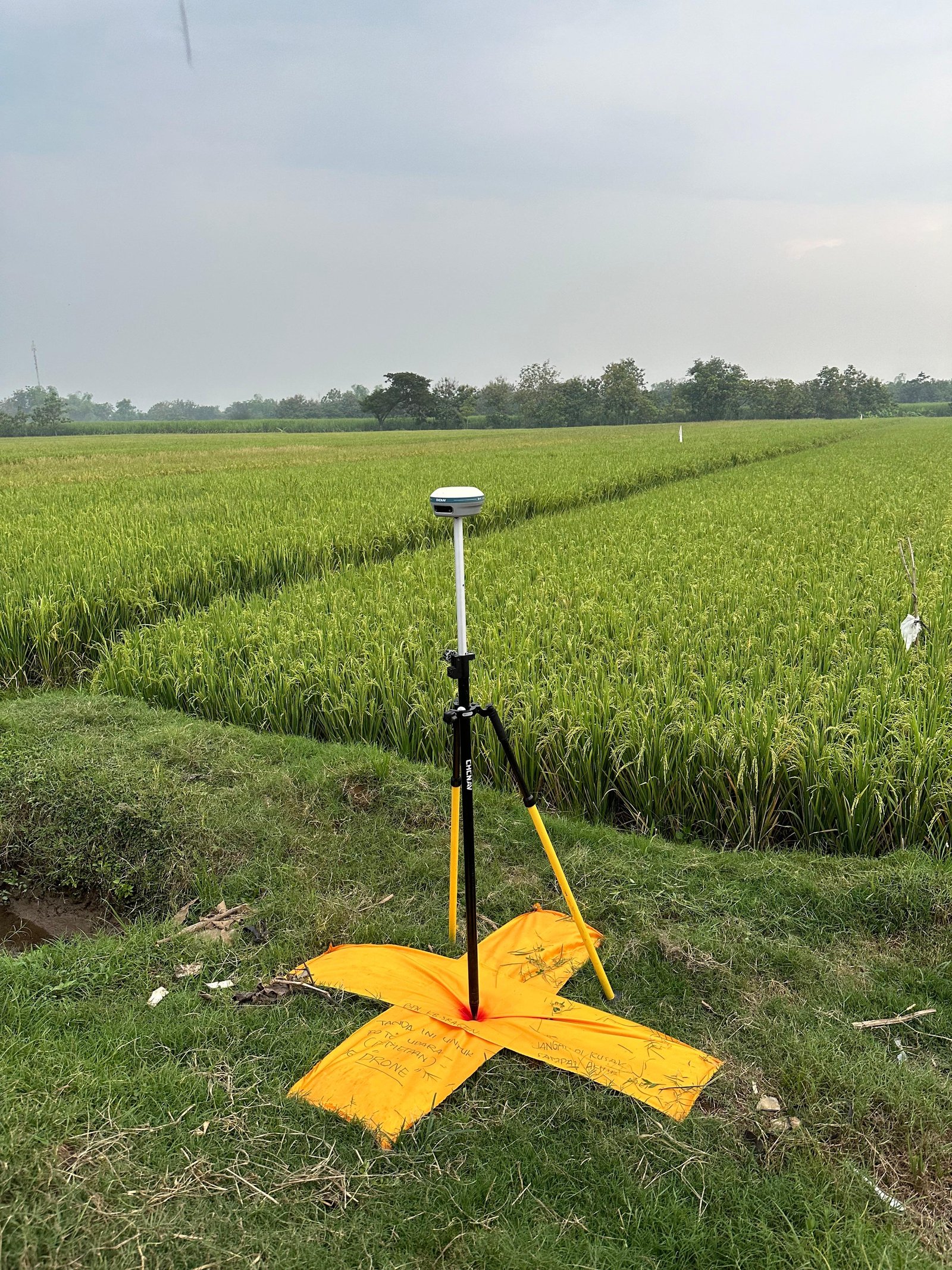
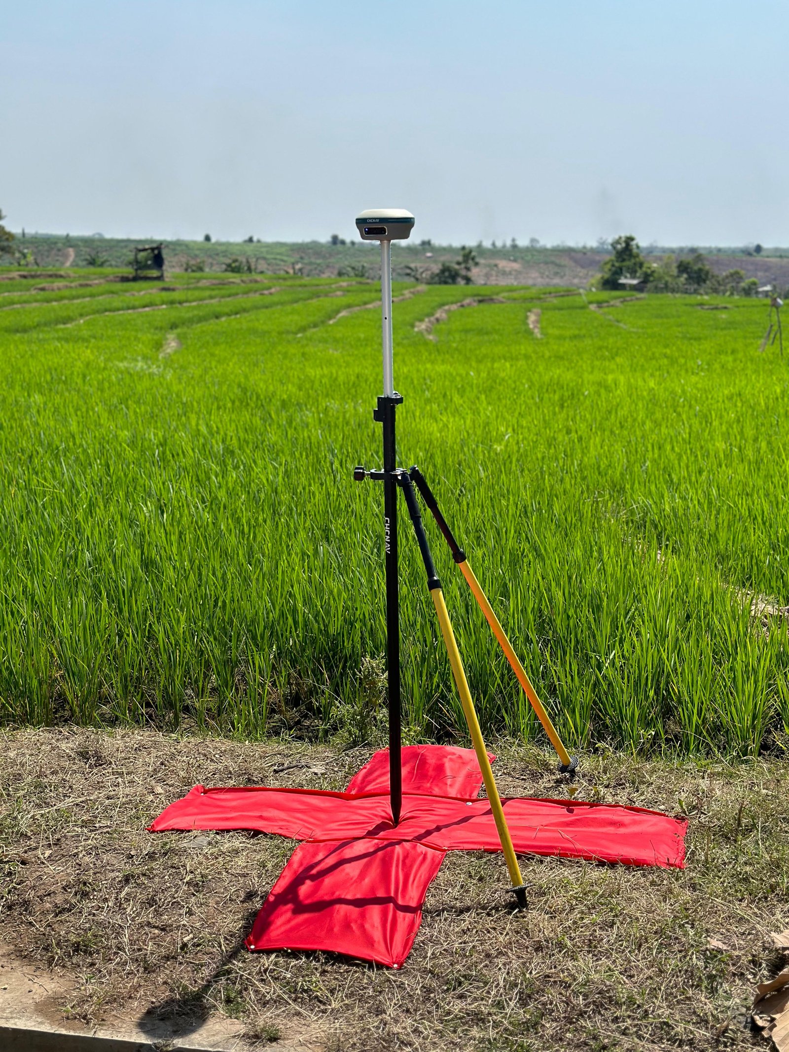
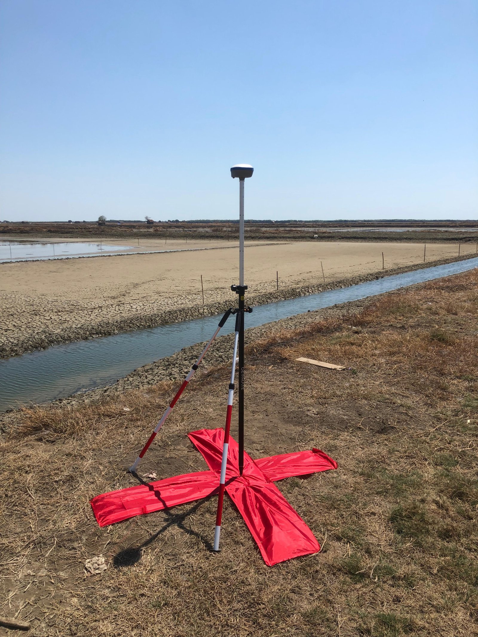
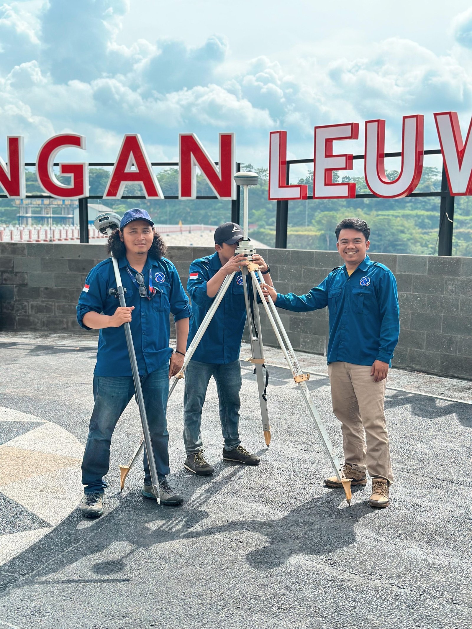
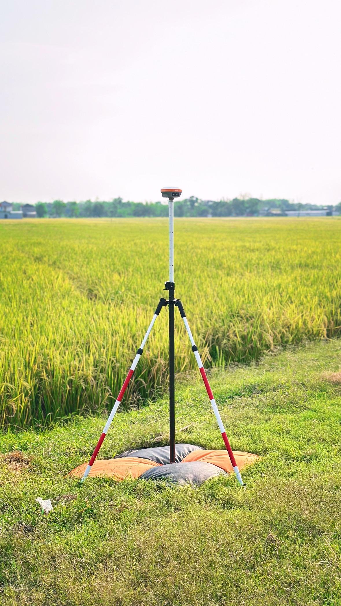
Service Gallery

Our Commitment
We are committed to providing accurate, professional, and reliable boundary determination services by prioritizing data precision, timeliness, and compliance with applicable standards and regulations. Supported by experienced experts and the latest geospatial technology, we are ready to provide the best solutions to support boundary certainty and regional administration effectively and efficiently.