Bathymetry Services (SBES & MBES)
Depth mapping and morphology services for seabeds, rivers, and lakes using Single Beam (SBES) and Multibeam (MBES) Echo Sounder technologies.
Introduction
Bathymetry services are a hydrographic survey method used to measure depth and map the morphology of water bottoms such as seas, rivers, and lakes using acoustic wave technology. This method is crucial in various underwater mapping applications because it provides an accurate representation of the water bed, whether for infrastructure planning, environmental analysis, or other technical studies. In our practice, we utilize two primary approaches: SBES (Single Beam Echo Sounder) for point-based measurements along the survey path, and MBES (Multibeam Echo Sounder), which produces comprehensive area mapping with exceptional data density.
By combining these two methods, our bathymetry services can be customized to any project's needs, offering both cost-effective preliminary surveys and highly detailed mapping with broad coverage and high precision. SBES is ideal for depth profiling in straightforward areas, while MBES is exceptionally effective for generating high-definition, comprehensive bottom models. The outputs of these surveys serve as an essential technical baseline for port planning, dredging operations, and underwater infrastructure installation.
Bathymetry Advantages
Flexible Methods (SBES & MBES)
SBES is ideal for rapid and cost-effective surveys, while MBES is designed for high-density, detailed mapping over broad areas.
High Accuracy & Precision
Supported by advanced GNSS positioning and high-end motion sensors to guarantee excellent spatial data precision.
Efficient Data Acquisition
MBES covers larger swaths in a single pass, whereas SBES offers a simpler and faster mobilization for initial assessments.
Professional Hydrographic Standards
Every survey follows rigorous hydrographic standards and guidelines to deliver fully reliable, compliant datasets.
Bathymetry Utilization
Port & Navigation Planning
Supporting the safe and efficient construction of ports, docks, and shipping lanes.
Dredging & Reclamation Studies
Assisting in the spatial analysis of bottom conditions for dredging efficiency and coastal reclamation.
Submarine Infrastructure
Supporting the route selection for installing pipelines and submarine cables safely and optimally.
Offshore Exploration & Energy
Delivering detailed seabed topography datasets for offshore mining and energy exploration.
Sedimentation & Morphology Analysis
Used to monitor changes in the bottom morphology and calculate sediment accumulation over time.
Inland Hydrology Assessments
Supporting capacity modeling and status evaluations for inland waters including rivers, reservoirs, and lakes.
Bathymetry Outputs
Depth Data (XYZ)
Hydrographic point coordinates capturing measured water depths.
Bathymetric Maps
Spatial visualization of depth ranges formatted as contours or grids.
Water DTM
Filtered digital terrain model of the seabed, river, or lake bed.
Depth Contours
Precise contour lines representing underwater depth variations.
Water Point Cloud
Ultra-dense 3D point datasets generated by MBES for granular analysis.
3D Seabed Model
High-fidelity three-dimensional representation of underwater bottom morphology.
Sample Output
Bathymetry Gallery
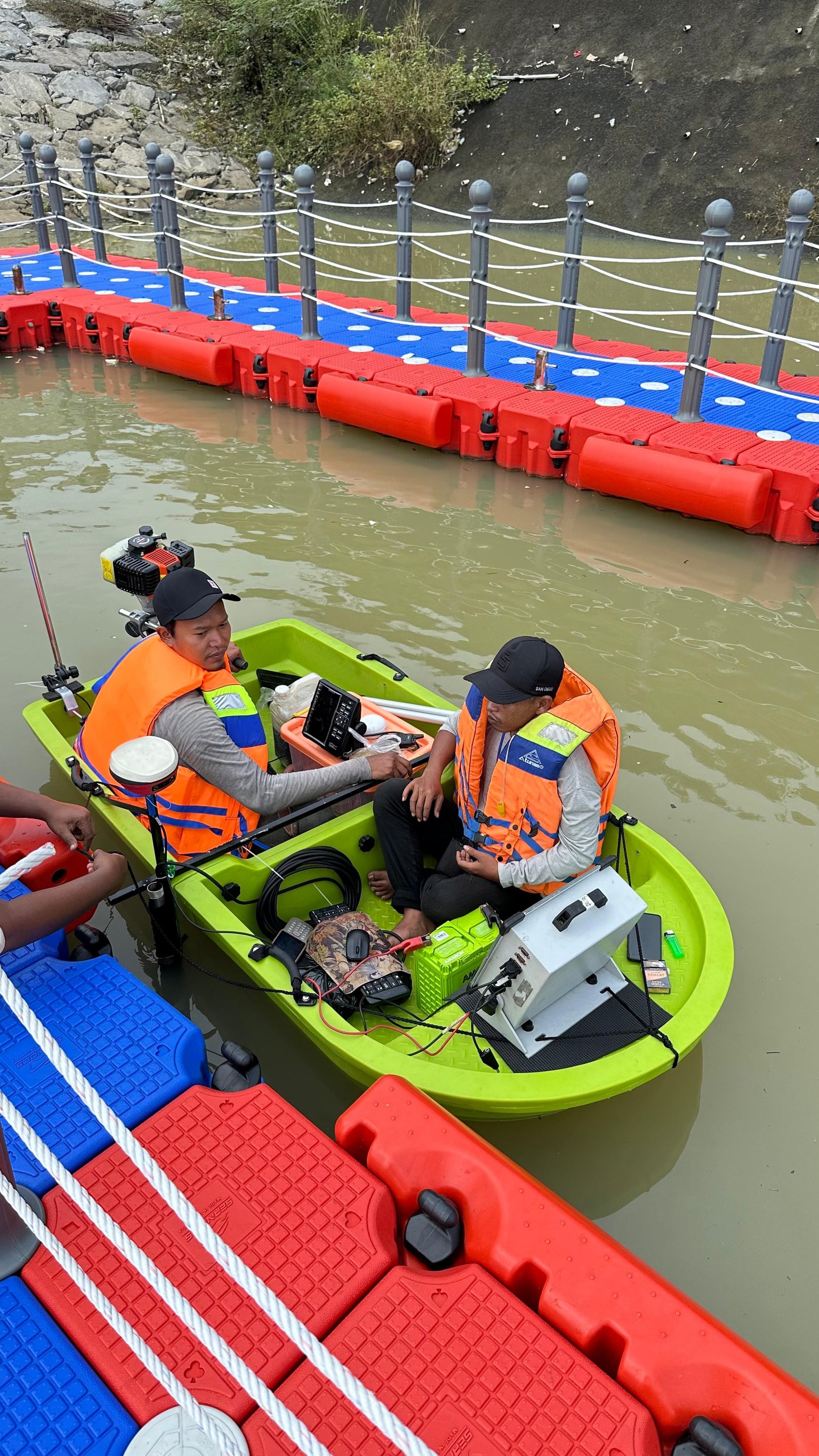
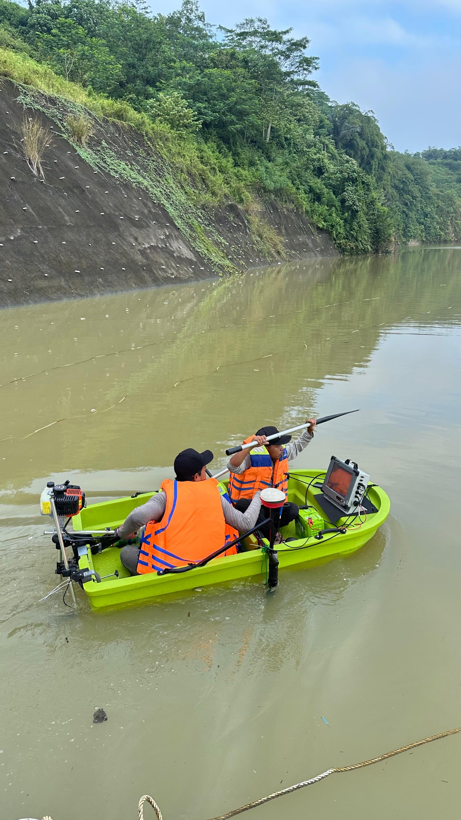
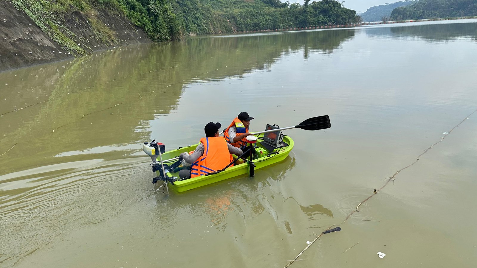
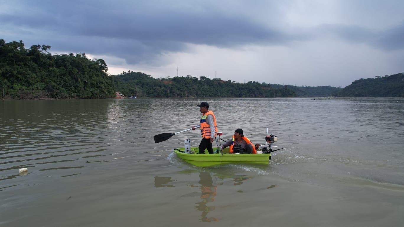
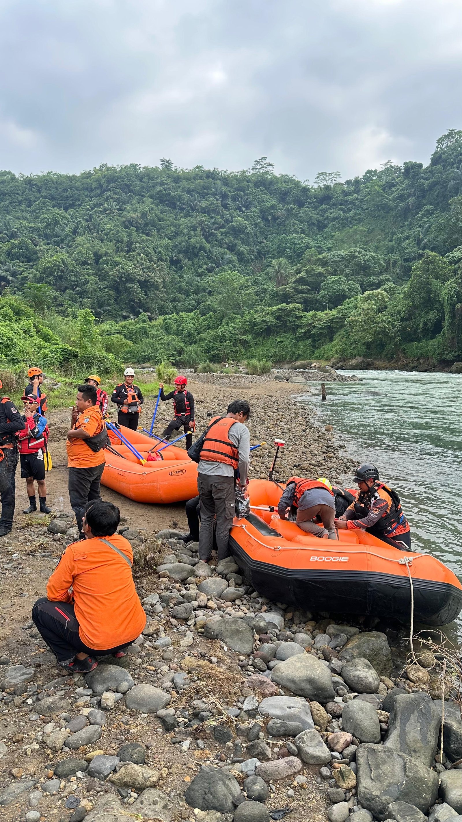
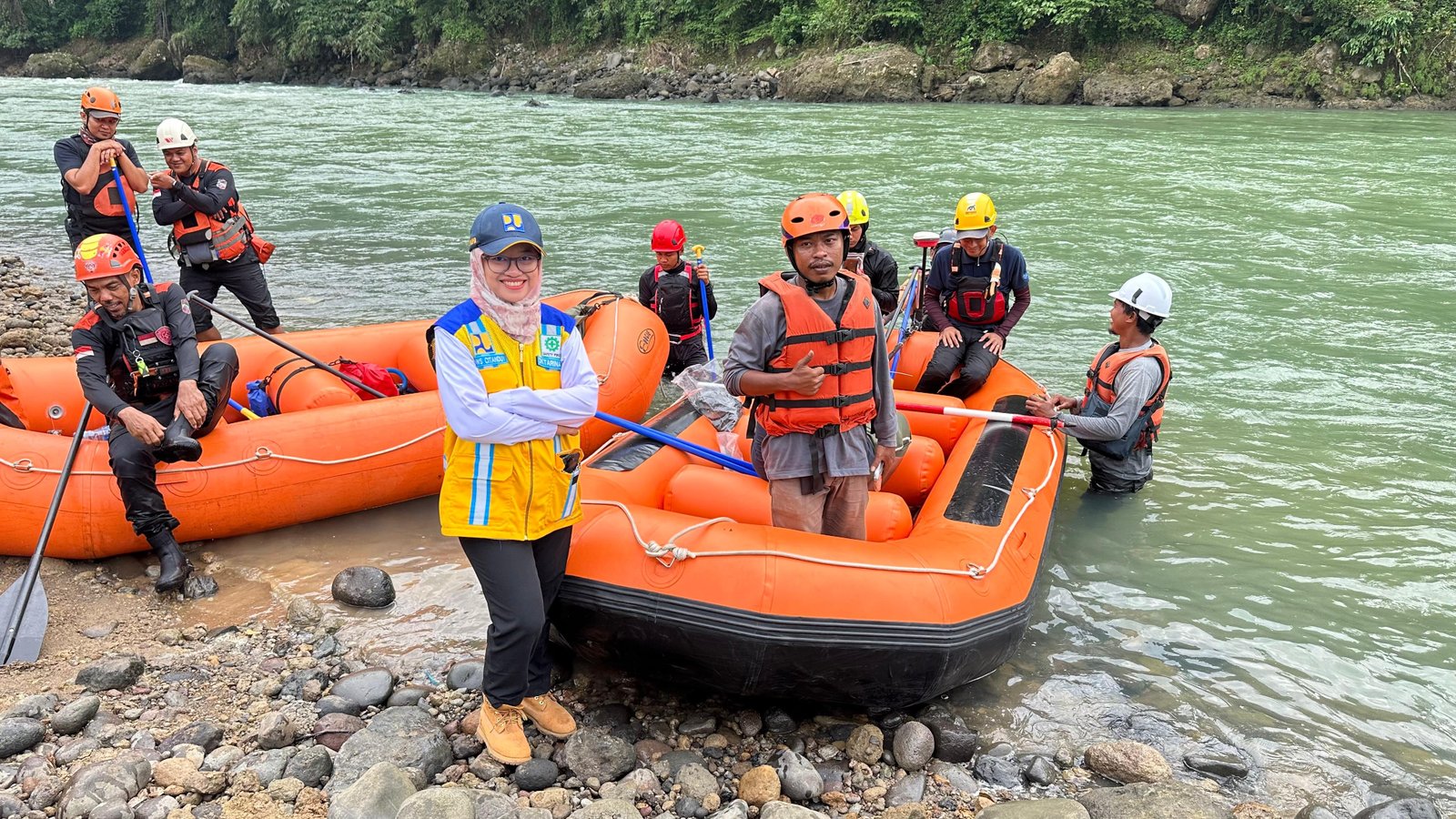
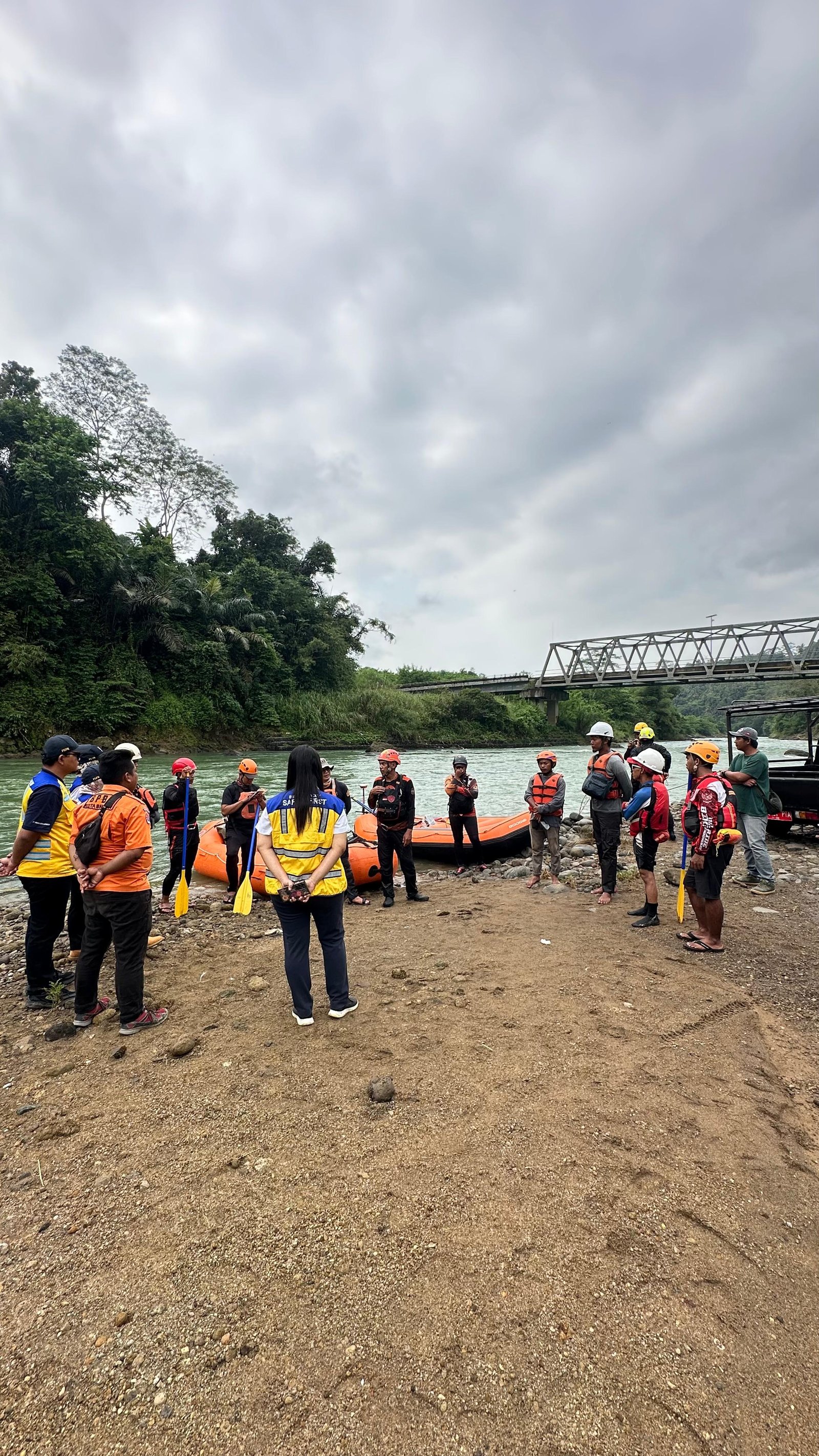
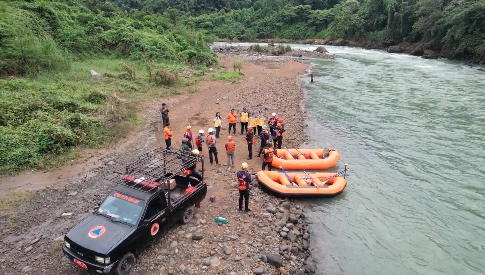
Our Commitment
We provide premium SBES and MBES bathymetric survey services with a strong focus on data precision, operational efficiency, and client trust. Every phase of our survey operations is executed in strict adherence to international hydrographic standards, from initial depth sounding to delivering comprehensive, user-friendly final datasets. Driven by a team of certified professionals and a highly structured workflow, we are committed to delivering accurate, timely, and actionable hydrographic surveys that optimally support marine and inland water projects.