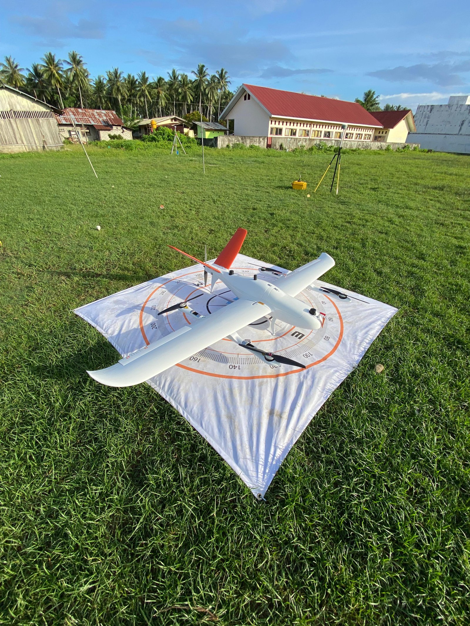
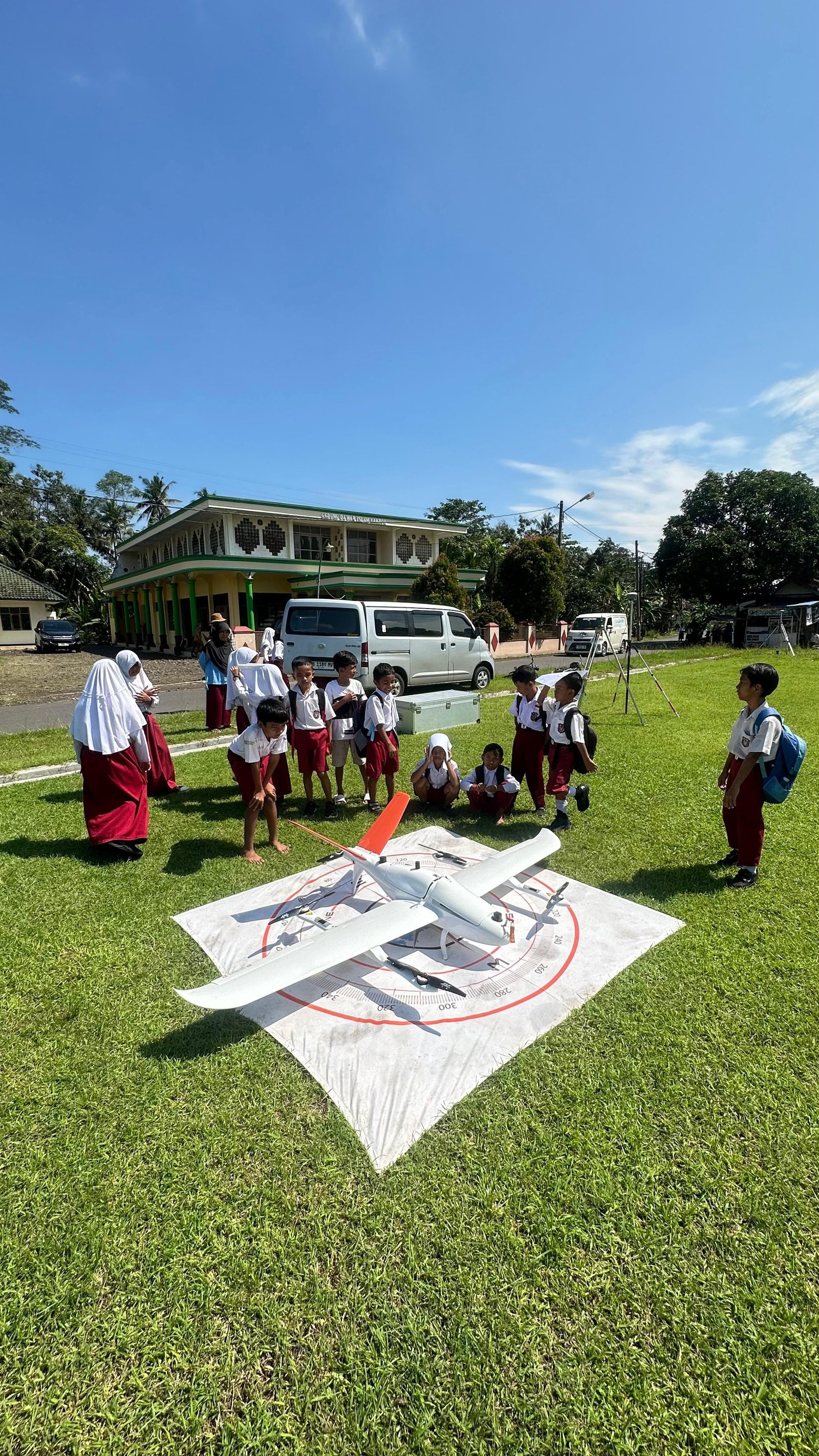
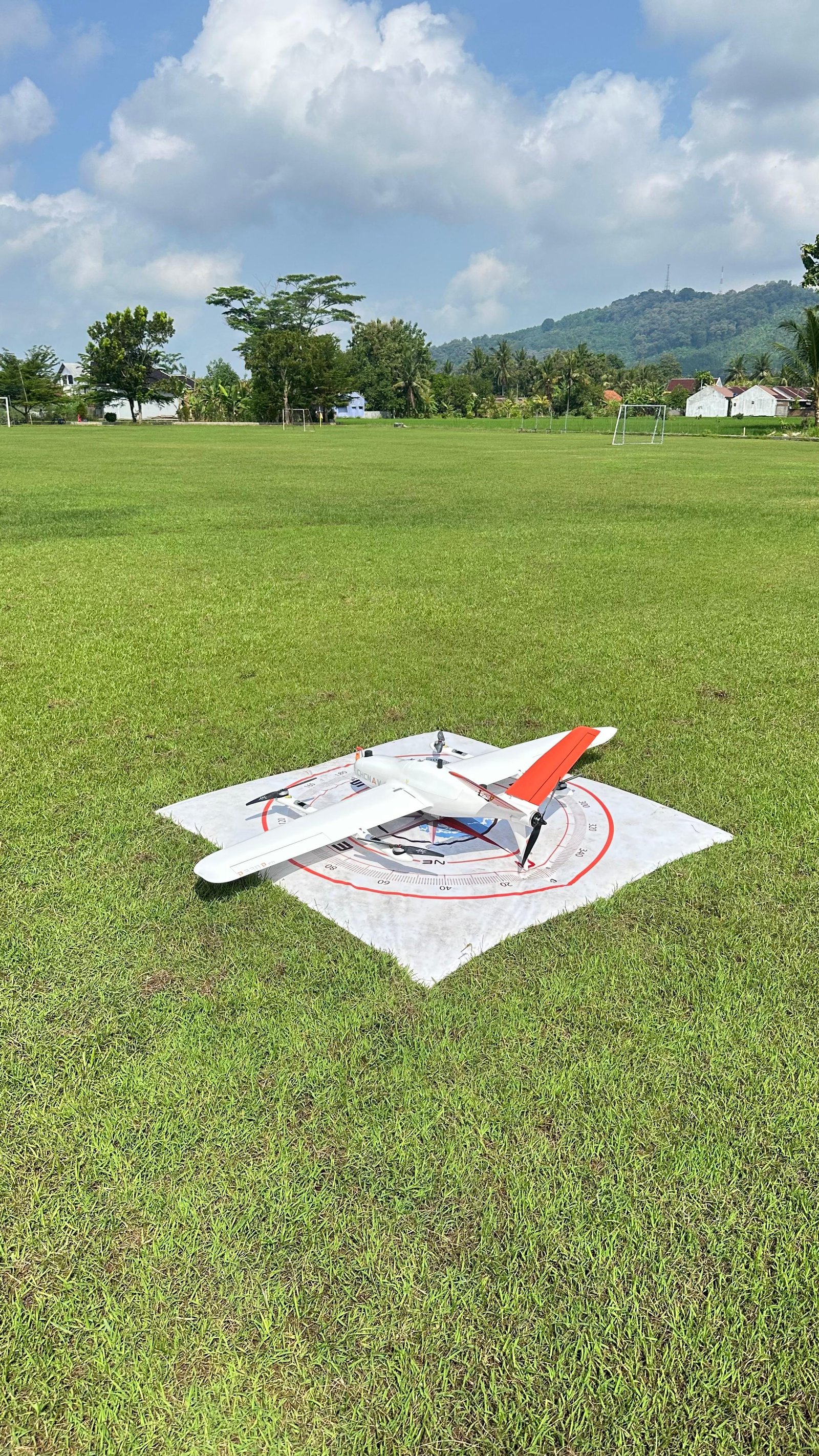
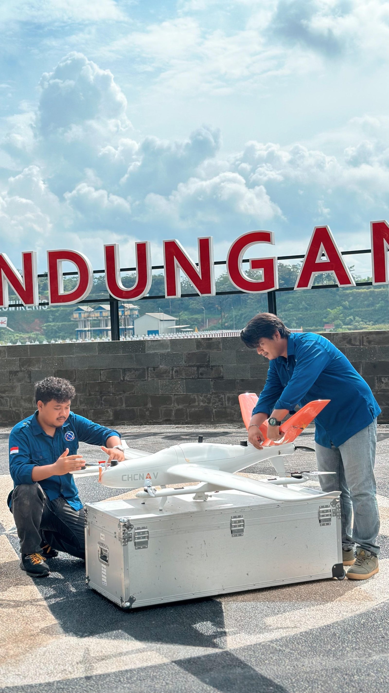
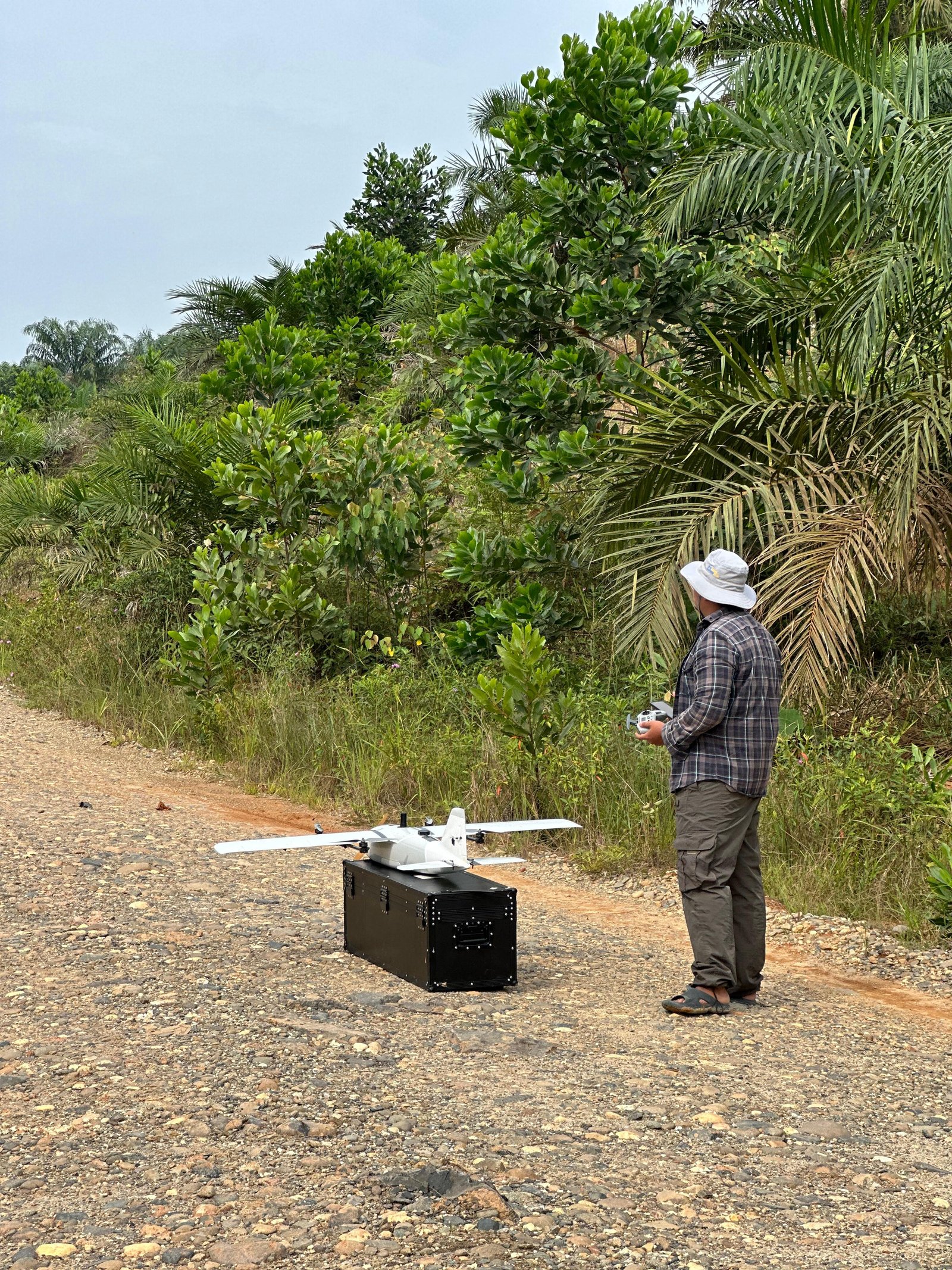
UAV Aerial Photography
UAV drone technology is the primary choice because it is more efficient, flexible, and capable of producing high-resolution imagery with very sharp details.
Introduction
Aerial photography is a technique for capturing images of the earth's surface from height using UAV drone platforms. Our aerial photography services are designed to meet visual and spatial data needs comprehensively, ranging from documentation to technical analysis. By utilizing the latest UAV Drones and photogrammetry methods, we are able to produce high-quality aerial imagery that is not only visually informative but also geometrically accurate.
Advantages of UAV Aerial Photography Services
High Data Quality
Produces aerial imagery with high resolution and sharp details, so it can be used for analysis and documentation needs optimally.
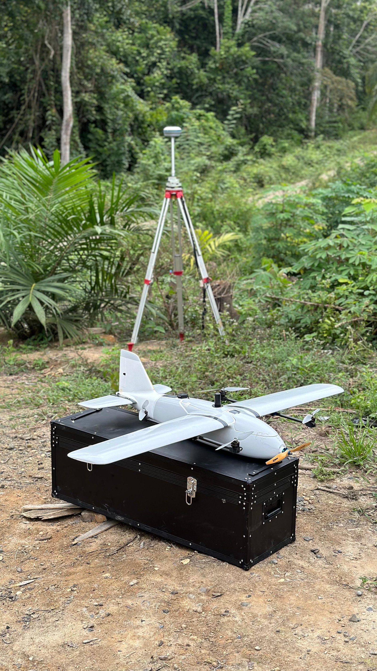
Guaranteed Accuracy
Supported by the use of GCP/ICP and GNSS technology, the resulting data has positional accuracy that can be accounted for.
Fast and Efficient
Data acquisition allows wide area coverage in a short time without reducing the quality of results.
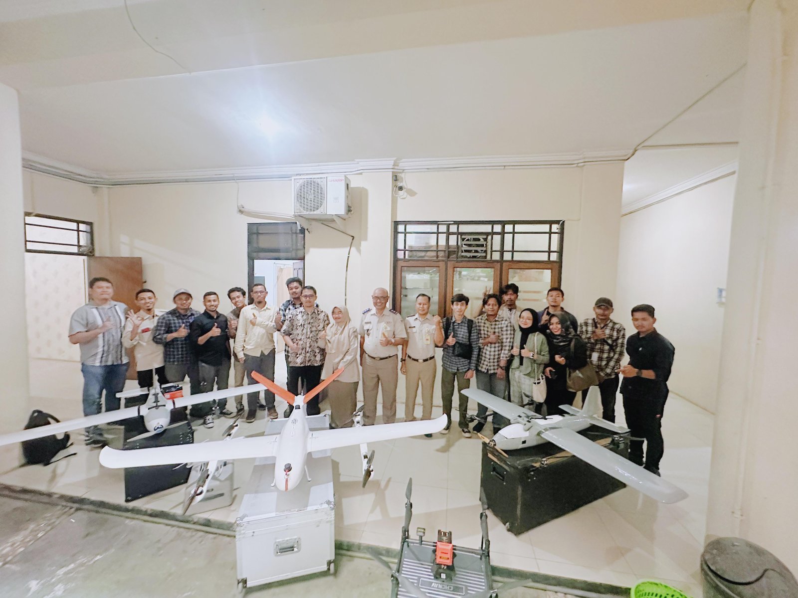
Professional Team
Supported by an experienced team in the field of geodesy and mapping, every job is carried out according to standards and technical needs.
Service Across Indonesia
Serving aerial photography and drone mapping needs throughout the territory of Indonesia.
Utilization
Mapping and Spatial Planning
As a basis for map preparation and land use analysis for accurate regional planning.
Construction and Infrastructure
Supports project progress monitoring and field condition evaluation efficiently.
Mining and Energy
Area mapping, volume calculation, and operational supervision.
Agriculture and Plantation
Monitoring crop conditions and comprehensive land management.
3D Model Creation
Produces three-dimensional visualizations to support more informative analysis and planning.
Output of UAV Aerial Photography Services
Orthophoto
Aerial imagery that has been geometrically corrected so that it has a uniform scale and accurate position.
DSM
Surface model representing the height of objects above the ground such as buildings and vegetation.
DTM
Ground surface model that has been separated from objects above it, for topographic analysis and construction planning.
GCP and ICP
Report on GCP and ICP coordinate results to ensure validation of field data accuracy.
Sample Output
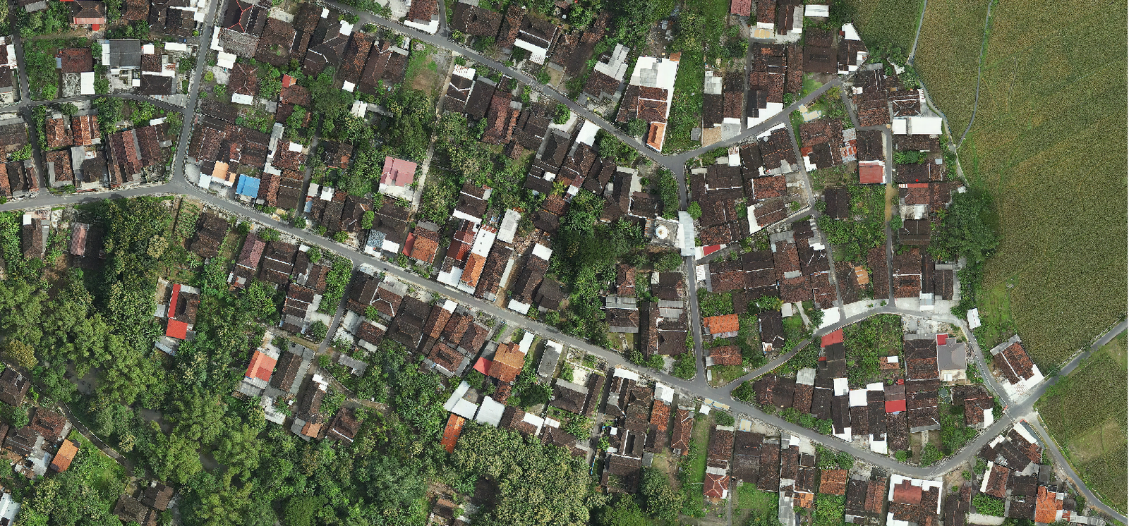
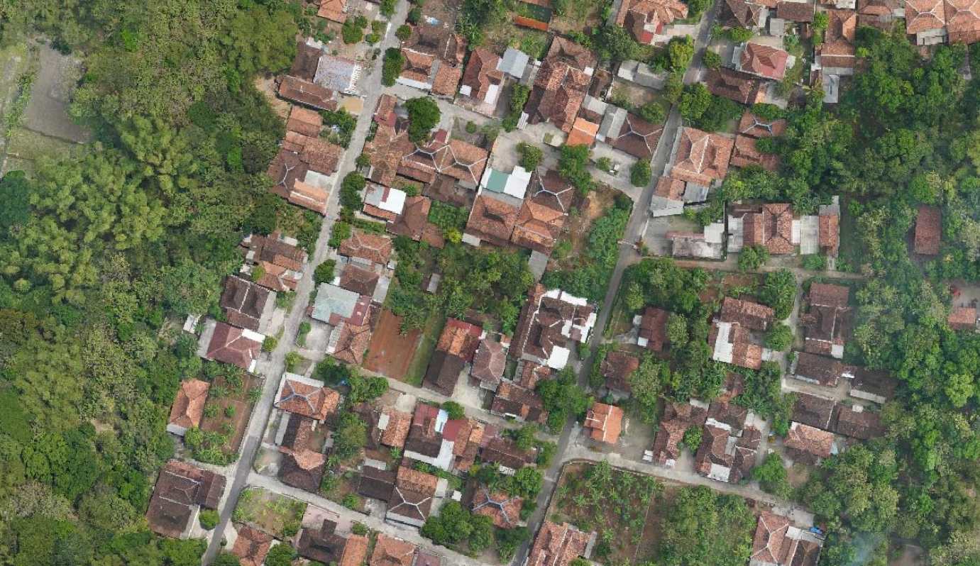
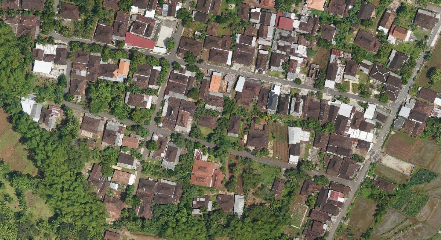
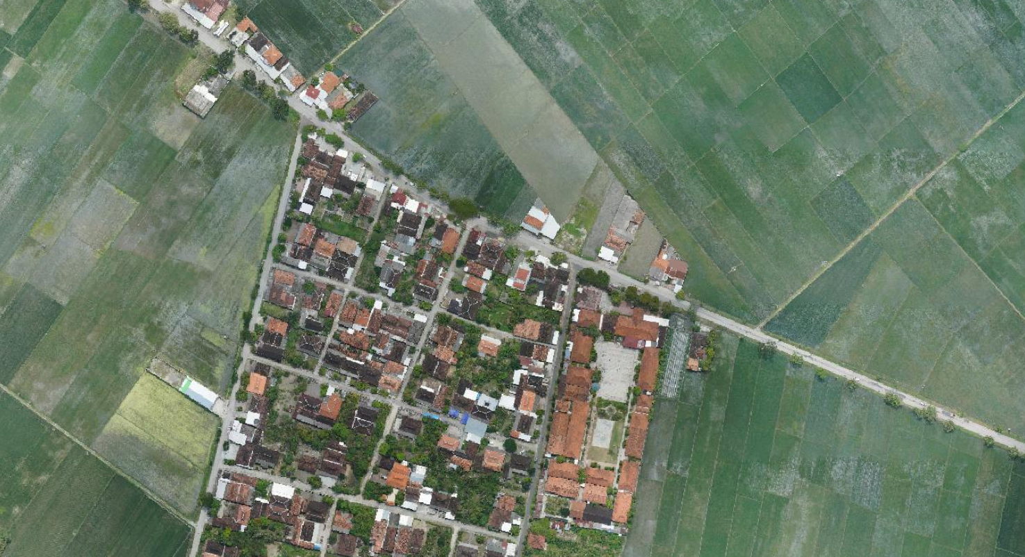
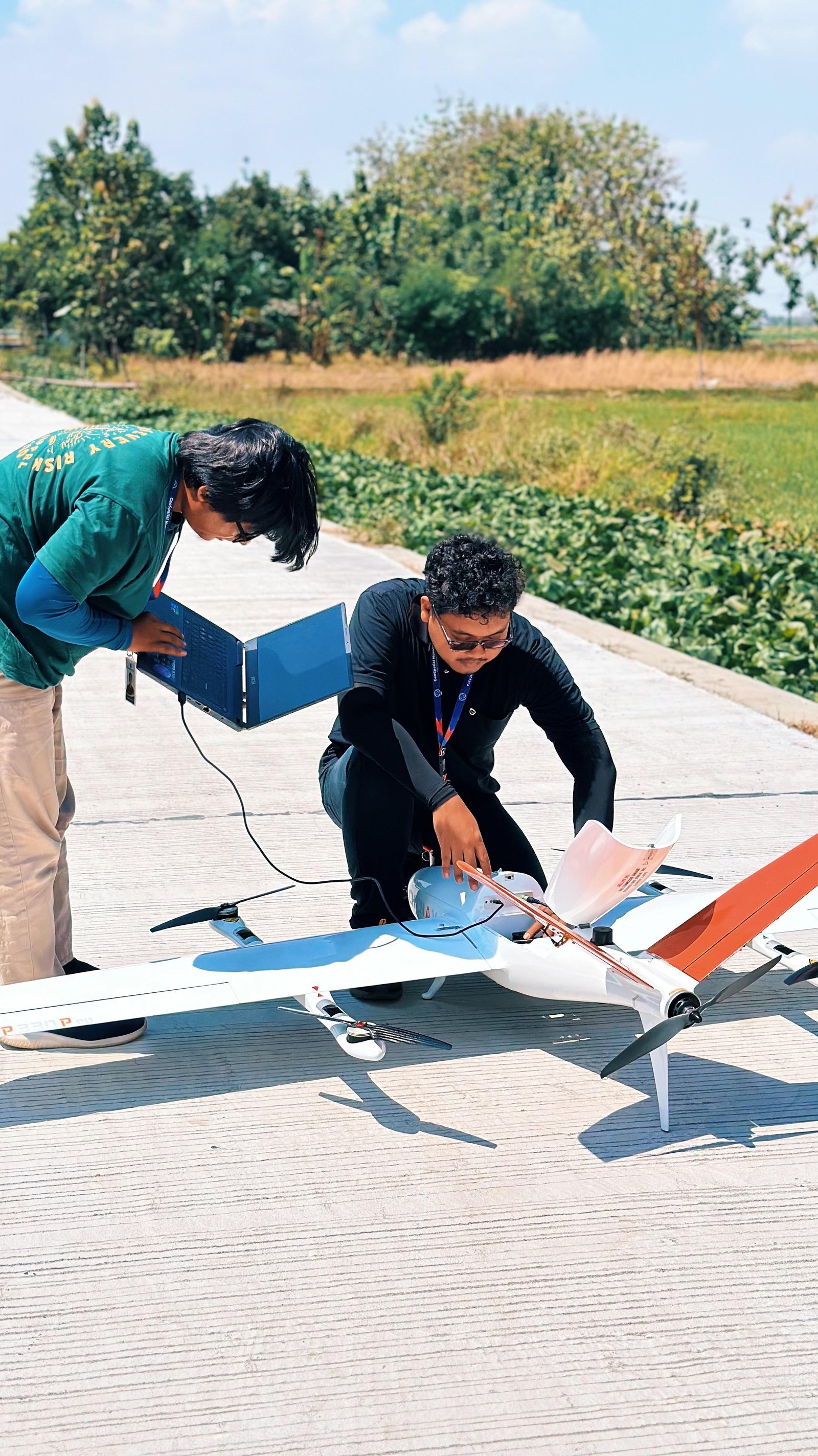
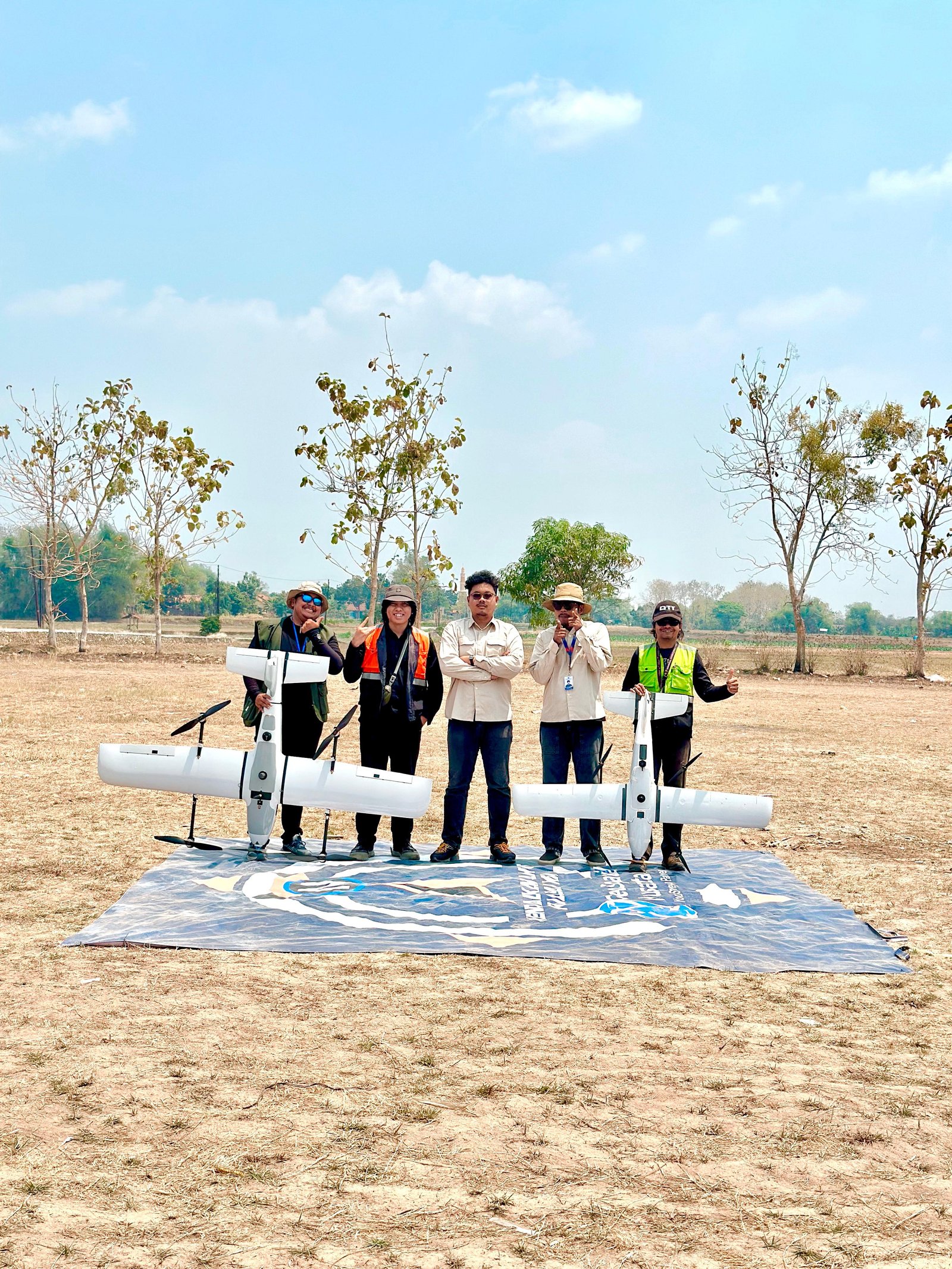
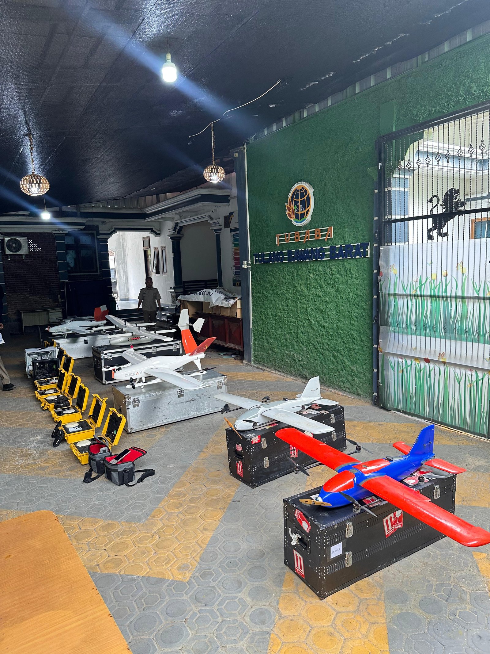
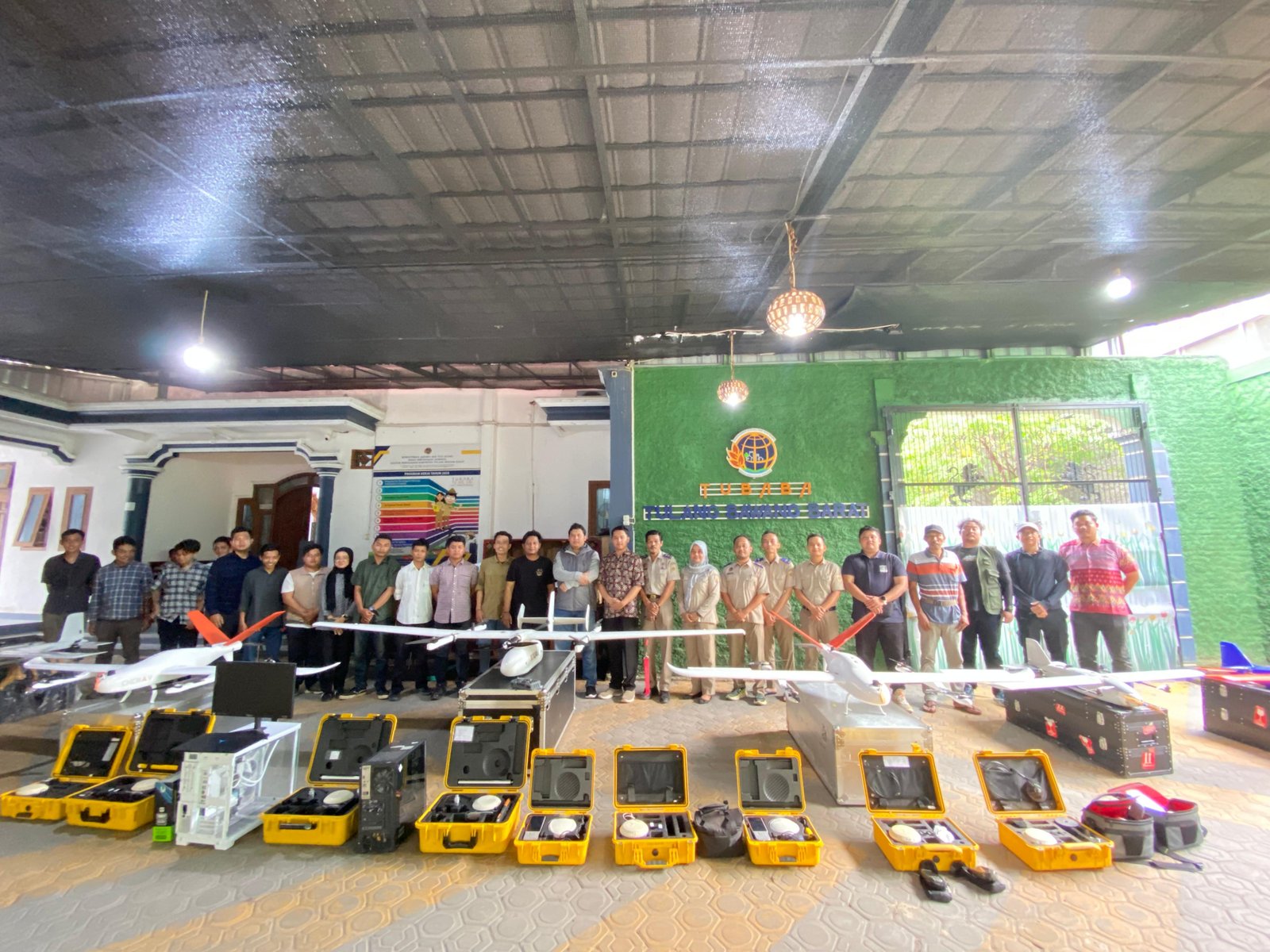
Gallery of UAV Aerial Photography Services
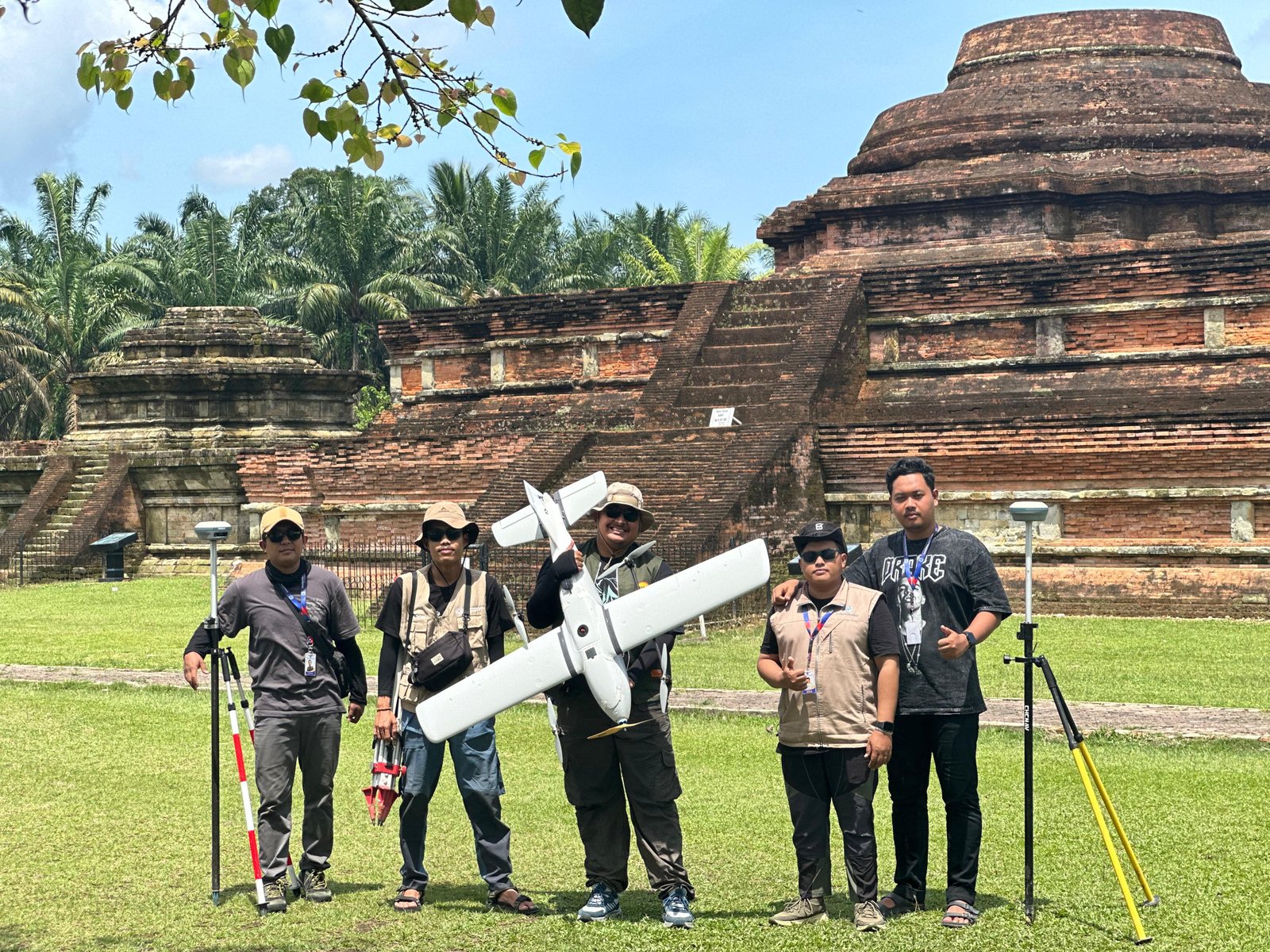
Our Commitment to Quality and Client Satisfaction
We prioritize result quality and client satisfaction in every UAV-based aerial mapping service. From the flight mission planning stage, data acquisition using drones, to photogrammetric data processing, we maintain intensive and transparent communication.