Cadastral Mapping
Accurate land boundary surveying and mapping services for certification, asset inventory, and land data updates.
Introduction
Cadastral surveying and mapping services are activities aimed at accurately determining the boundaries of land parcels, whether for certification, asset inventory, or updating land records. This includes measuring land parcel boundaries, land parcel repositioning, and improving K4 data quality to ensure consistency between spatial records and recorded juridical data.
In its execution, cadastral mapping focuses on the precision of position, area, shape of land parcels, and the legal status of land ownership. The generated data becomes an essential foundation in land administration, boundary dispute resolution, asset management, and supporting an integrated and trusted national land information system.
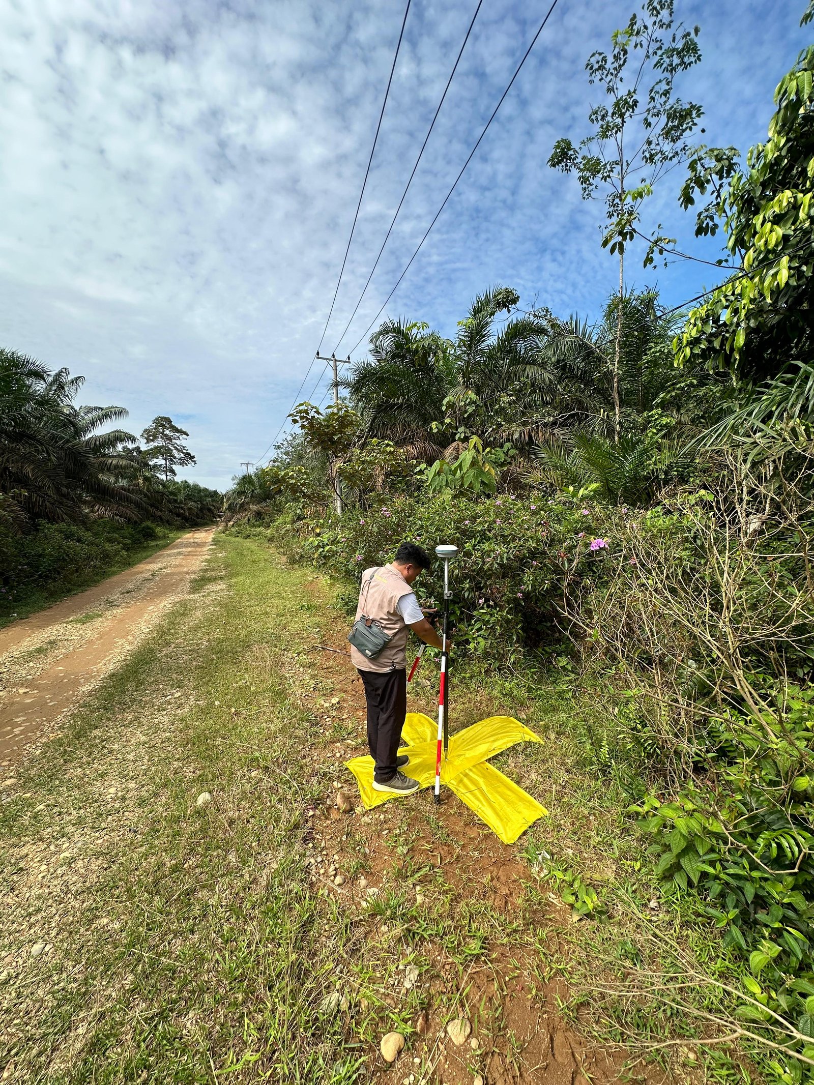
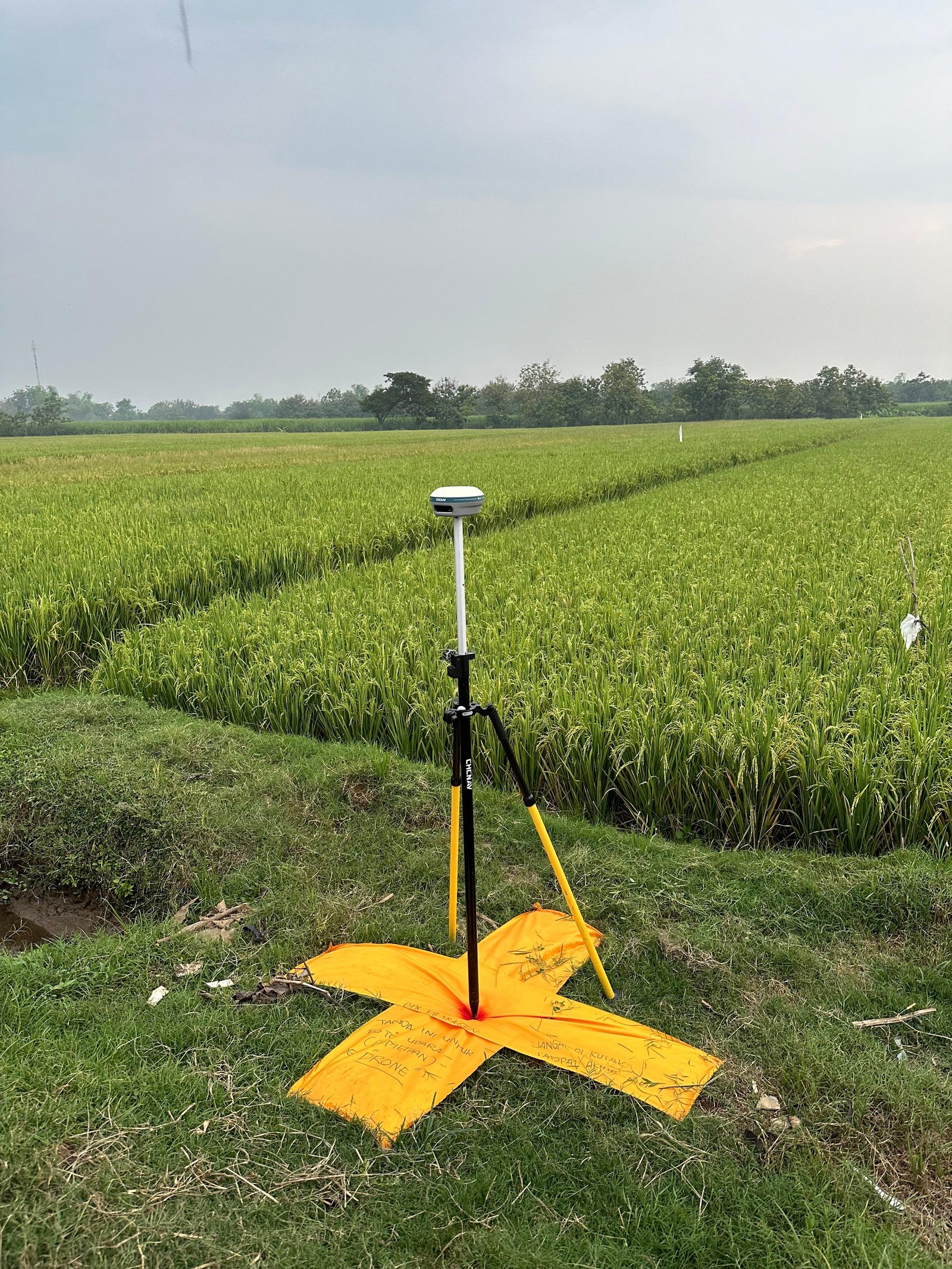
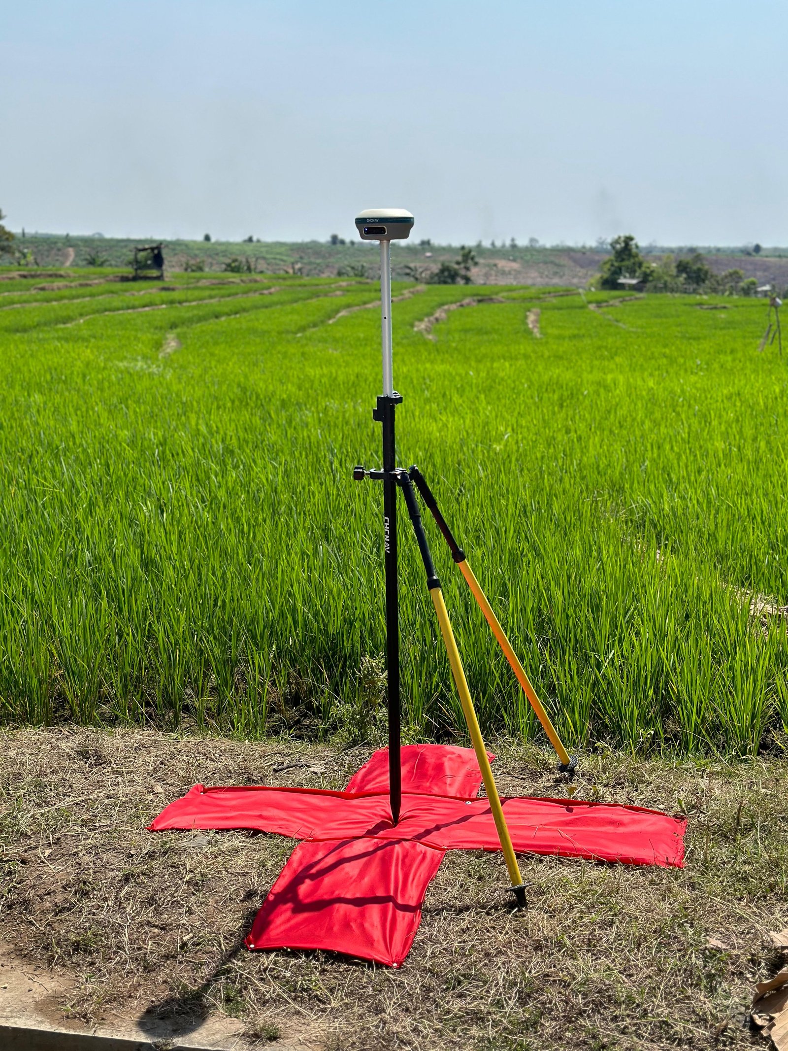
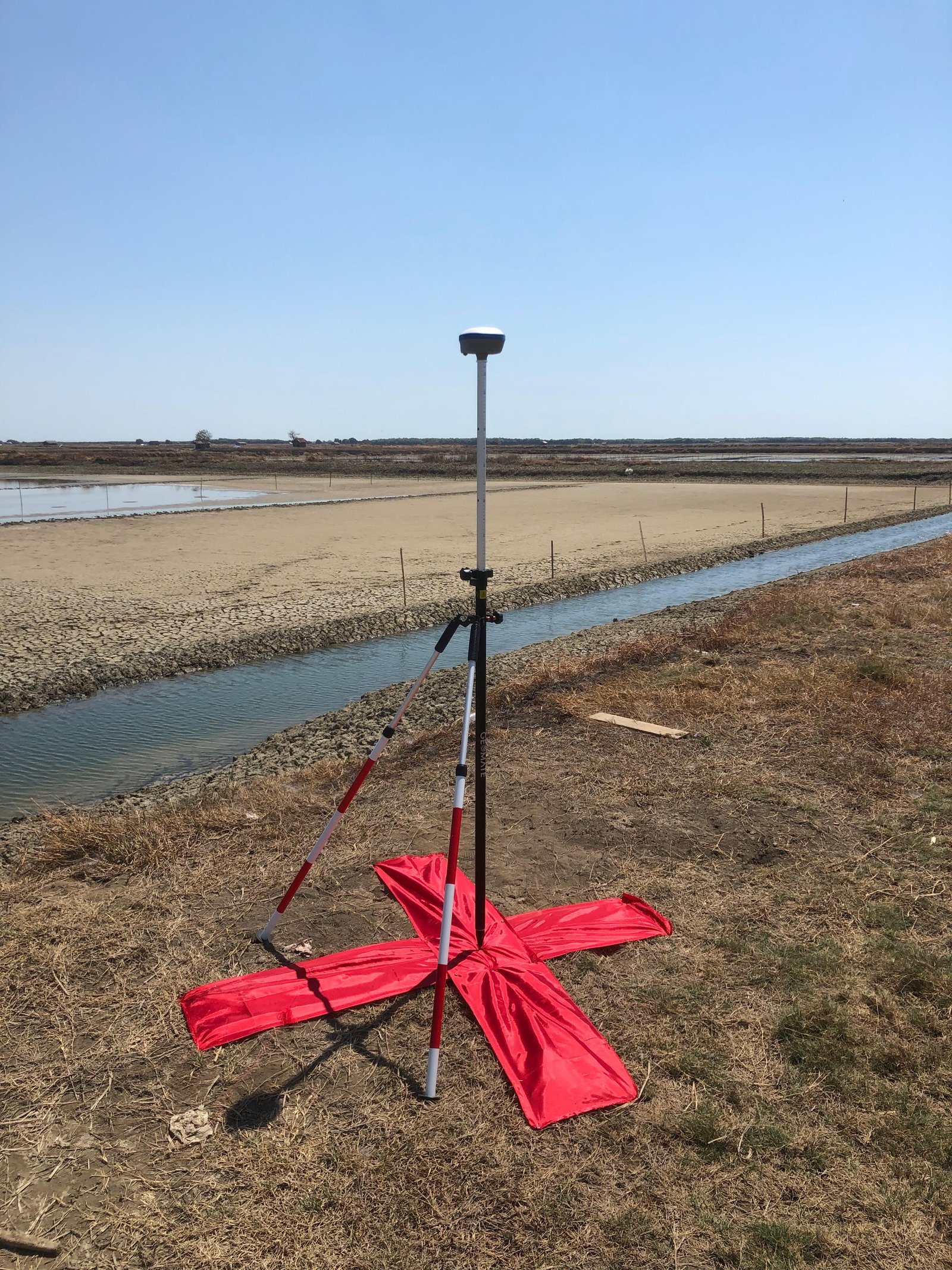
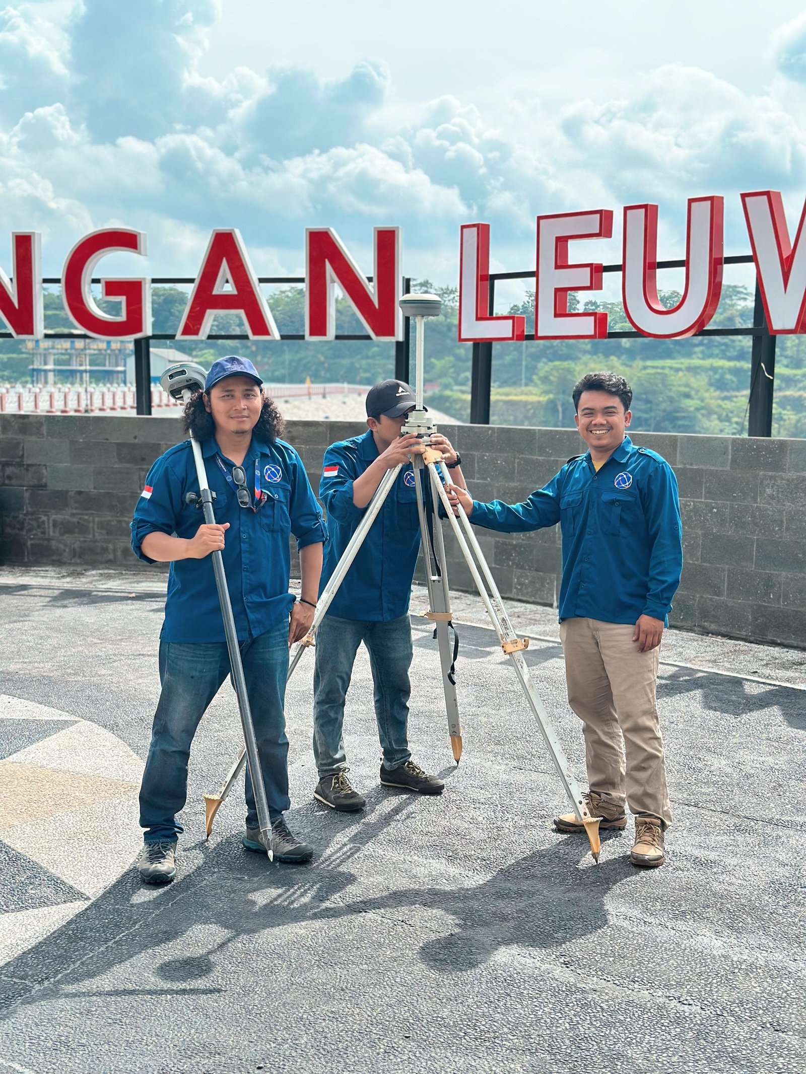
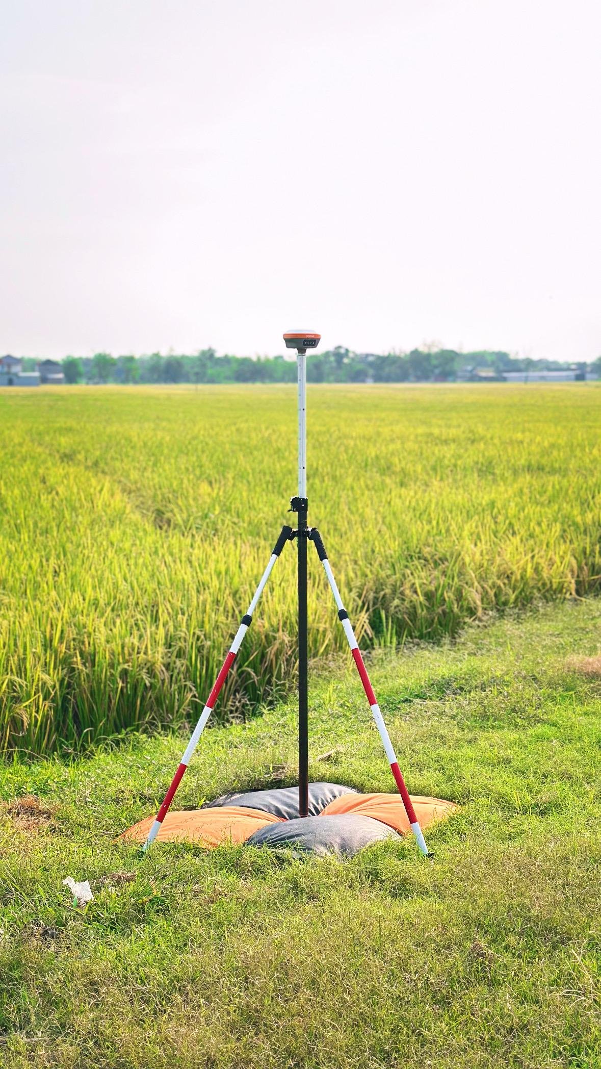
Supported by experienced professionals and modern survey technology such as GNSS, total stations, UAVs, and GIS-based geospatial data processing, this service is capable of producing accurate, efficient, and technically compliant land data. The final output can be land parcel maps, boundary coordinates, integrated spatial data, to supporting documents for land legalization and administration processes.
In our field implementation, we apply various cutting-edge methods such as GNSS/RTK for high coordinate accuracy, Photogrammetry & Drones for large areas, Mobile Mapping / LiDAR for urban efficiency, and Legacy Data Digitalization for converting analog maps to modern digital GIS systems.
Service Advantages
High Precision
Uses precise survey methods (GNSS) to ensure highly accurate land parcel boundaries.
Strong Legality
The generated data is legally recognized for proving land ownership.
Boundary Certainty
Significantly reduces potential land conflicts or boundary disputes in the future.
Standardized
Measurements and mapping reference official coordinate systems and ATR/BPN national regulations.
Data Integration
Measurement data is easily integrated with GIS systems and land databases.
Utilization
Land administration (land certification by the government).
Regional planning (RTRW, RDTR).
Taxation (determination of land tax based on area and land value).
Investment & property (land legality before transactions).
Land dispute resolution.
Land acquisition for infrastructure projects.
Service Output
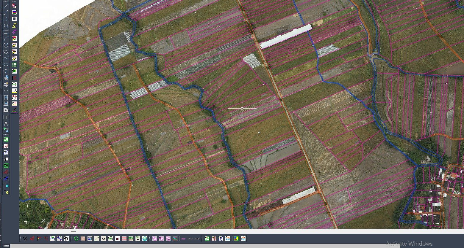
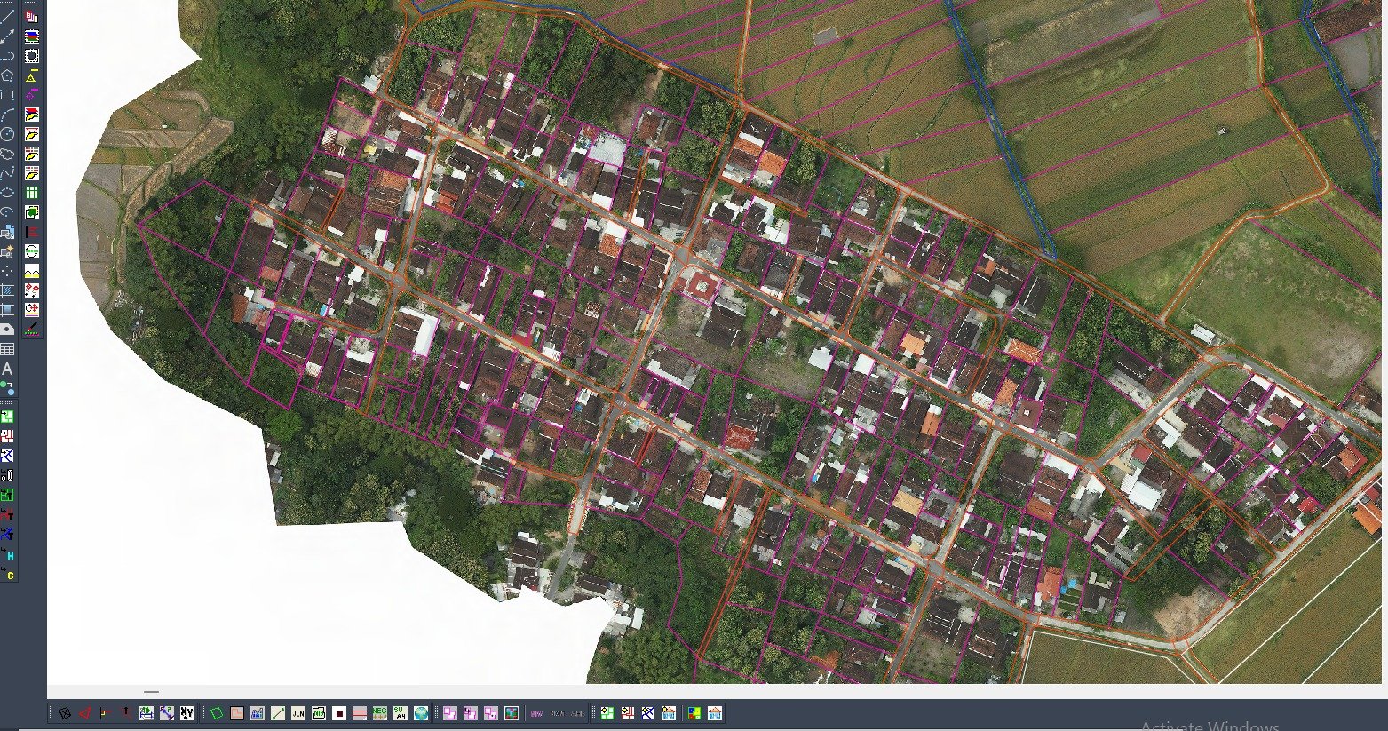
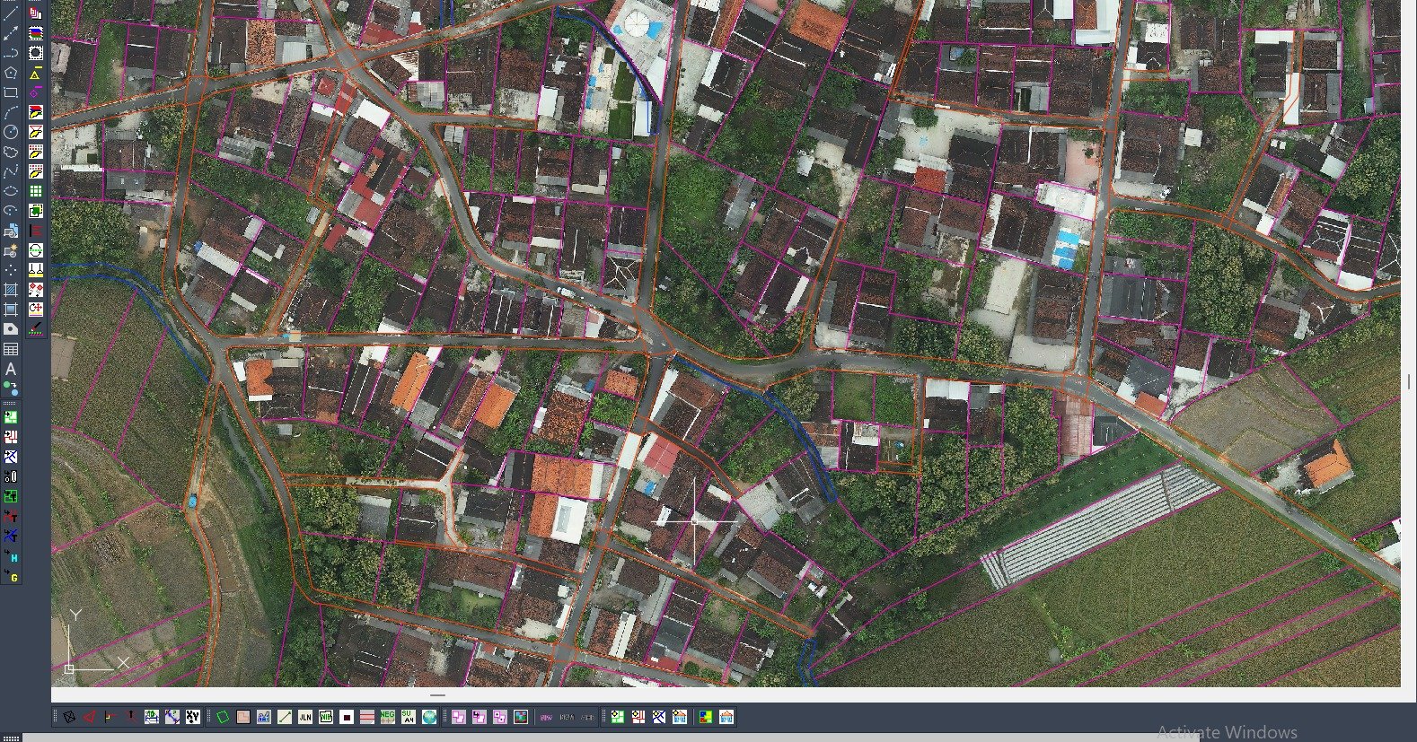
Land Parcel Map
Official cadastral map showing land parcel boundaries and positions clearly.
Boundary Coordinates
High-accuracy coordinate list of land parcel boundary points from measurements.
GIS Spatial Database
Establishment of ready-to-use GIS-based land databases (GIS-based cadastre).
Integrated Digital Map
Digital map visualization integrated with national land information systems.
Sample Output
Service Gallery
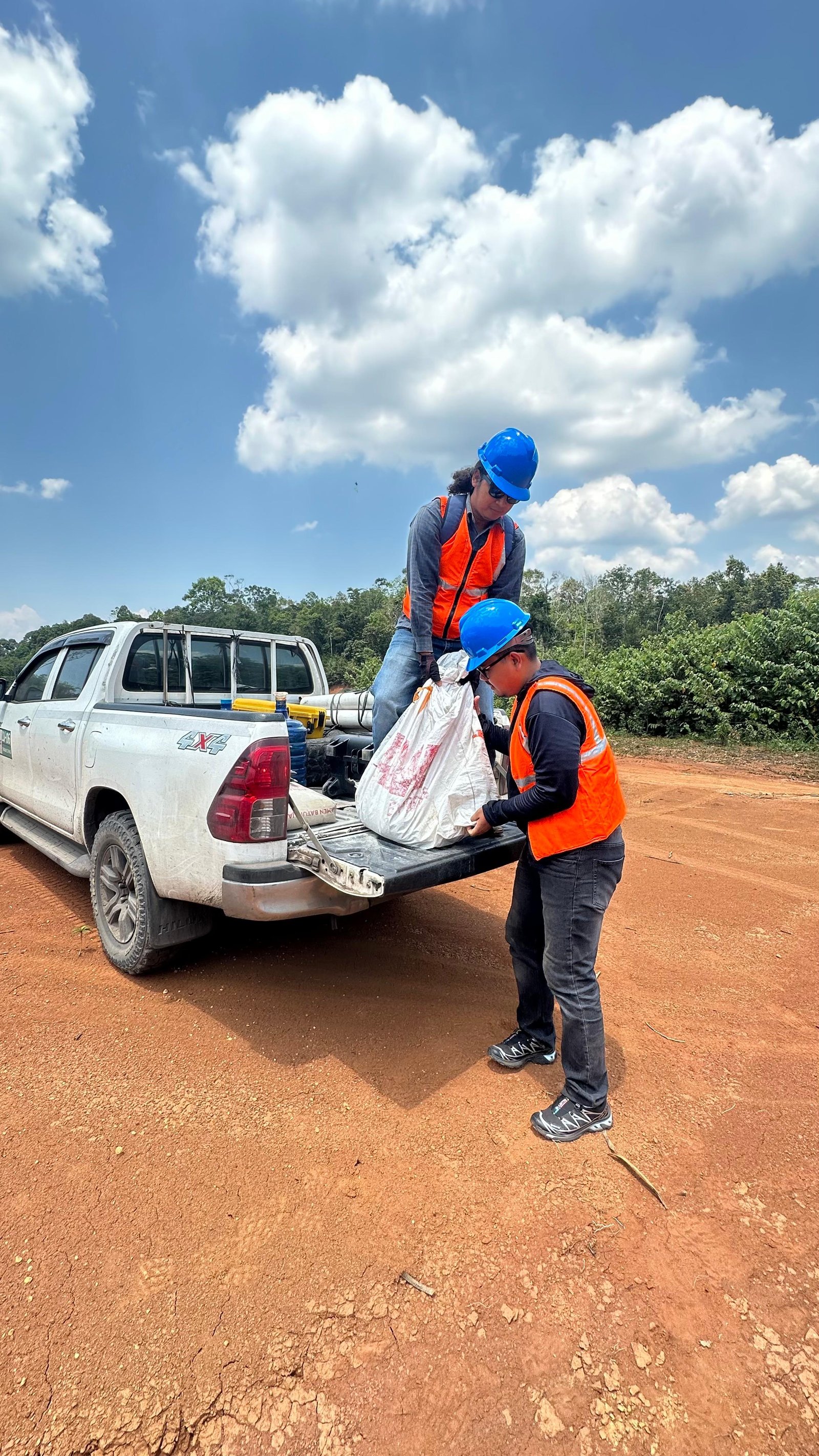
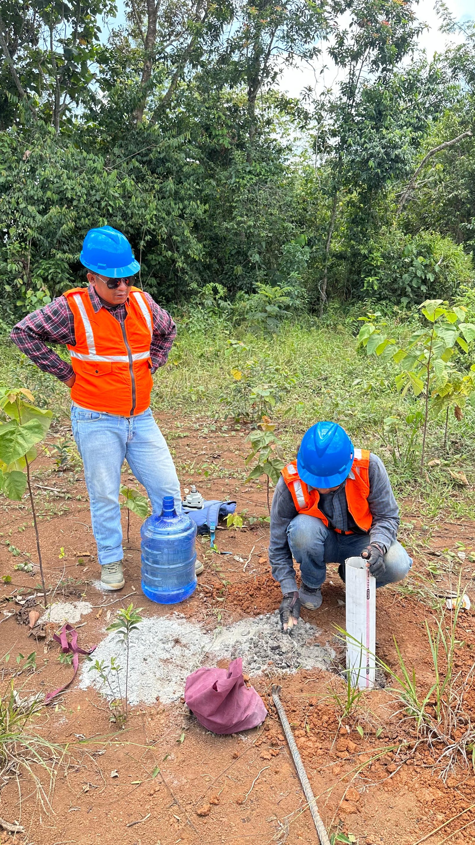
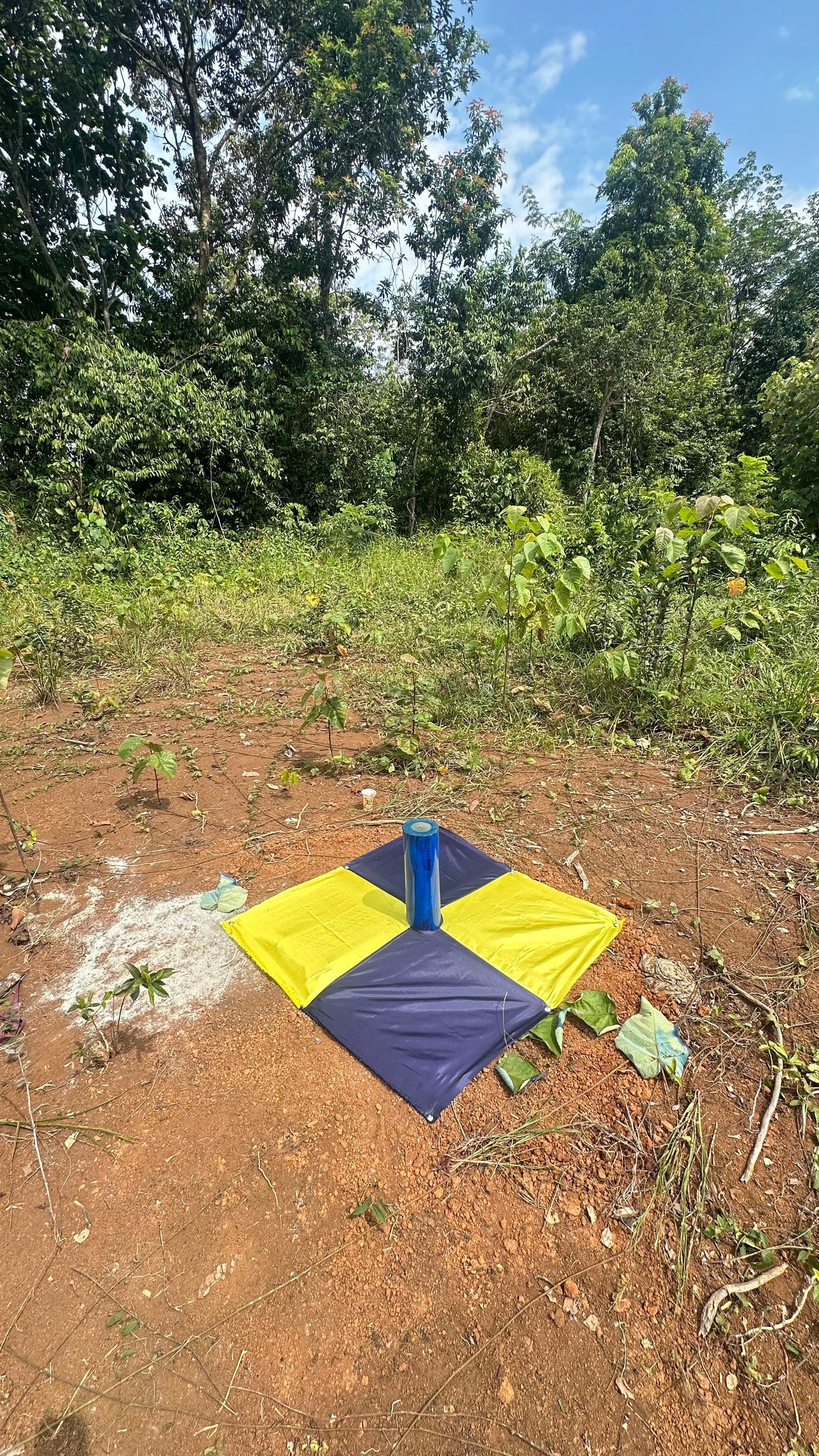
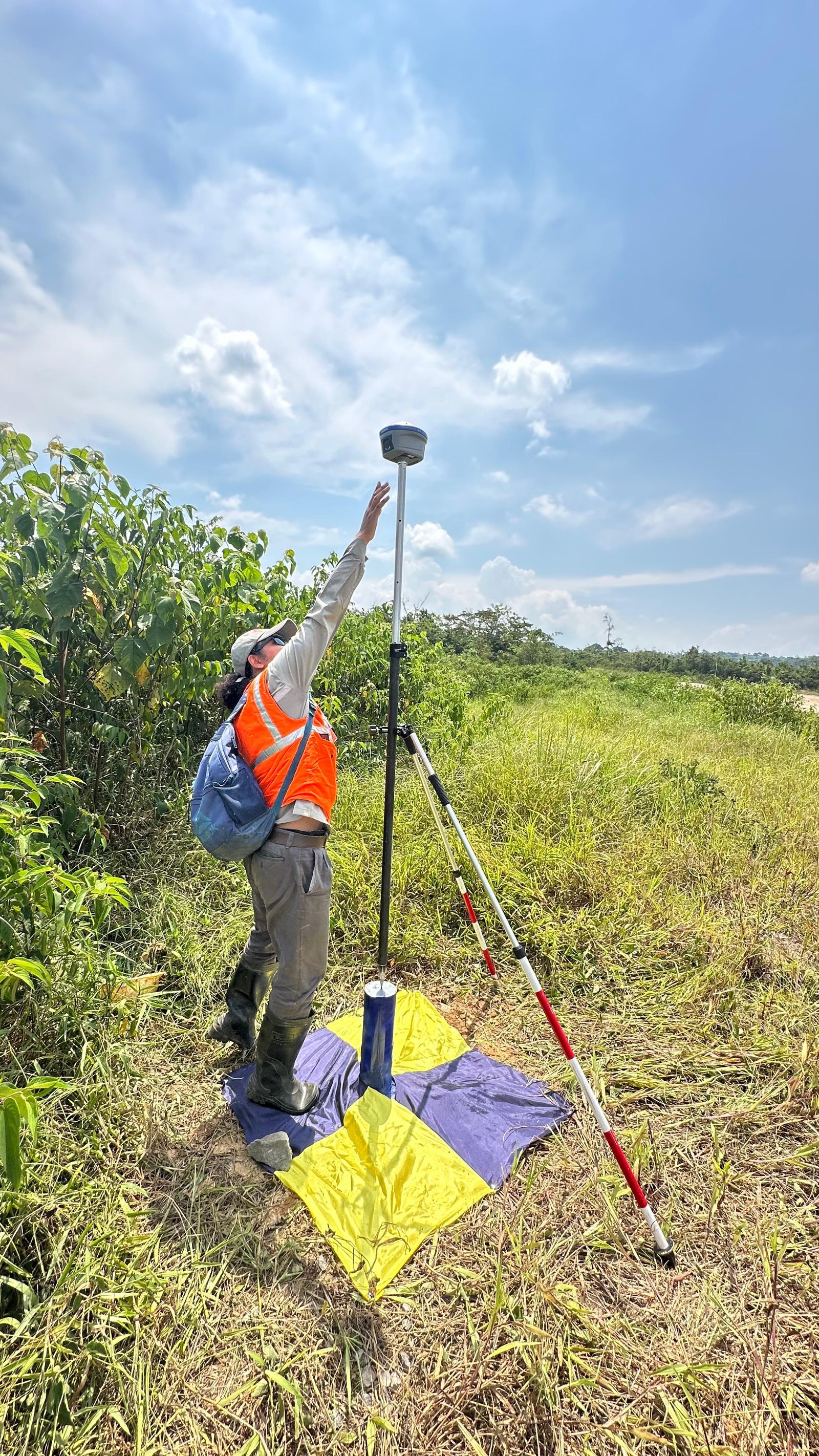
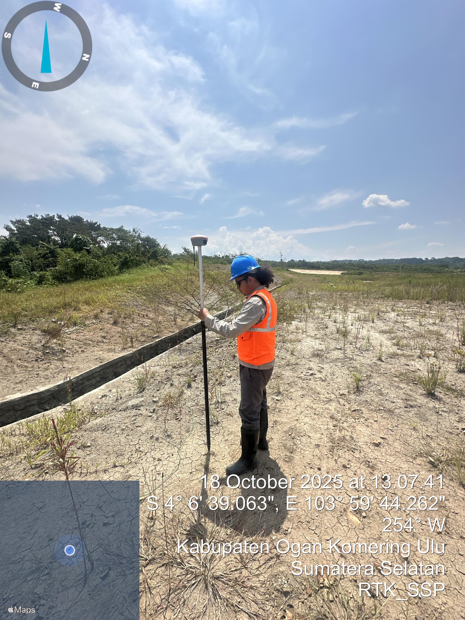
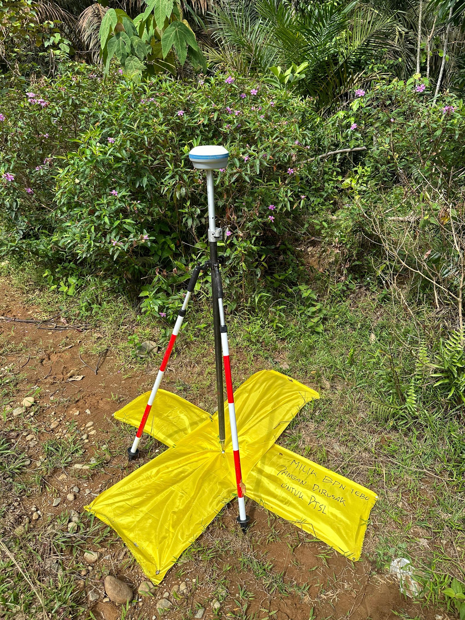
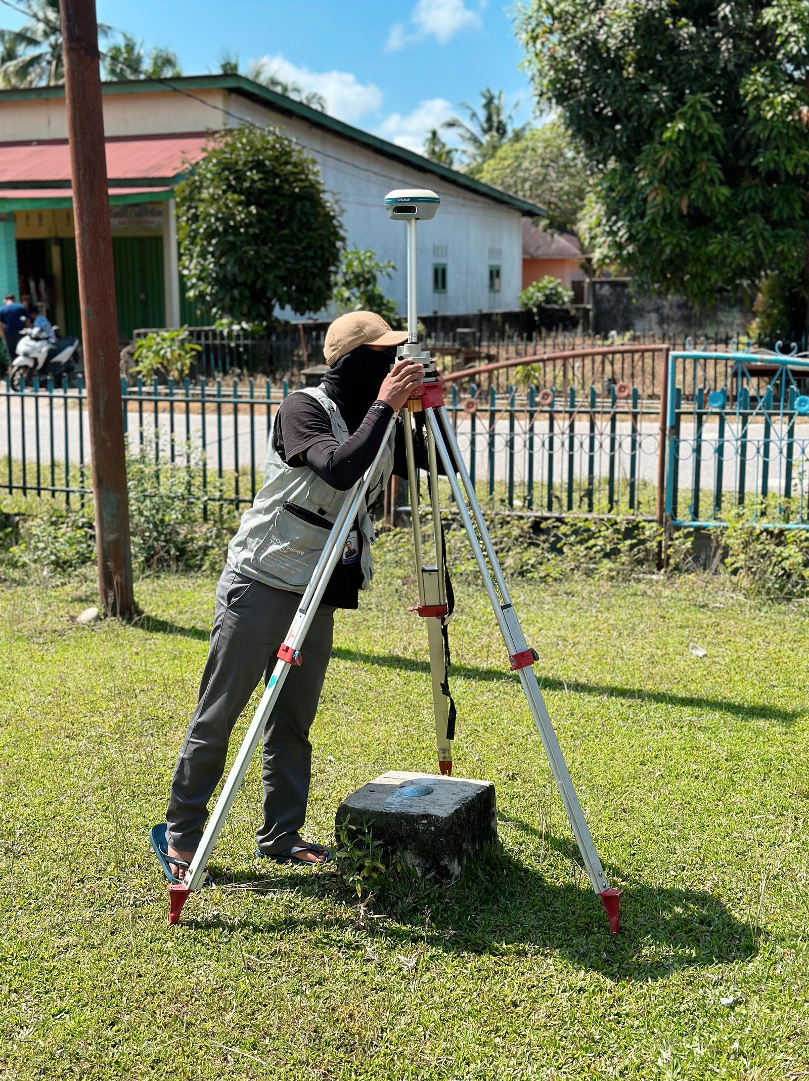
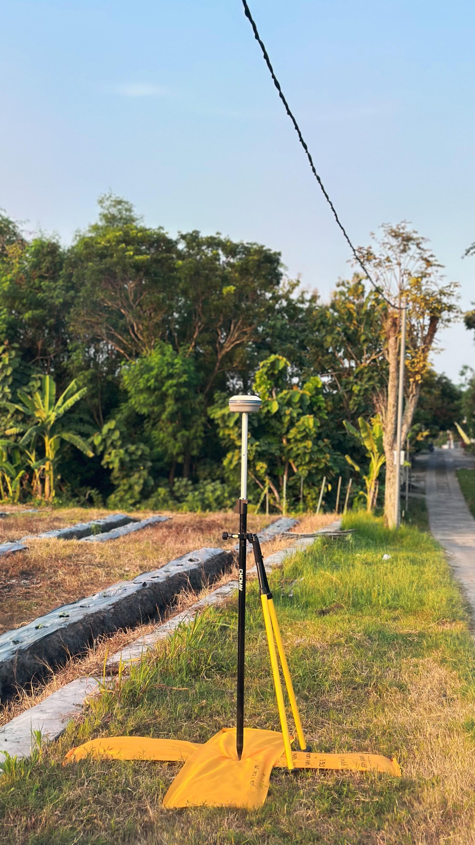
Our Commitment
We are committed to providing accurate, reliable, and technically compliant cadastral mapping services in accordance with applicable land regulations. Every measurement and mapping process is carried out with high precision to ensure the accuracy of land parcel position, area, and boundaries to provide legal certainty and support orderly land administration.
Supported by experienced professionals and modern survey technology such as GNSS, total stations, UAVs, and GIS-based geospatial systems, we ensure that every generated data is of the highest quality and ready for integration with the national land information system.