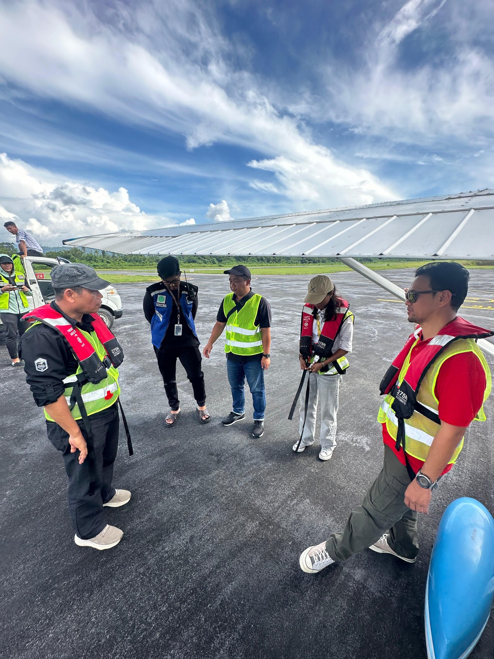
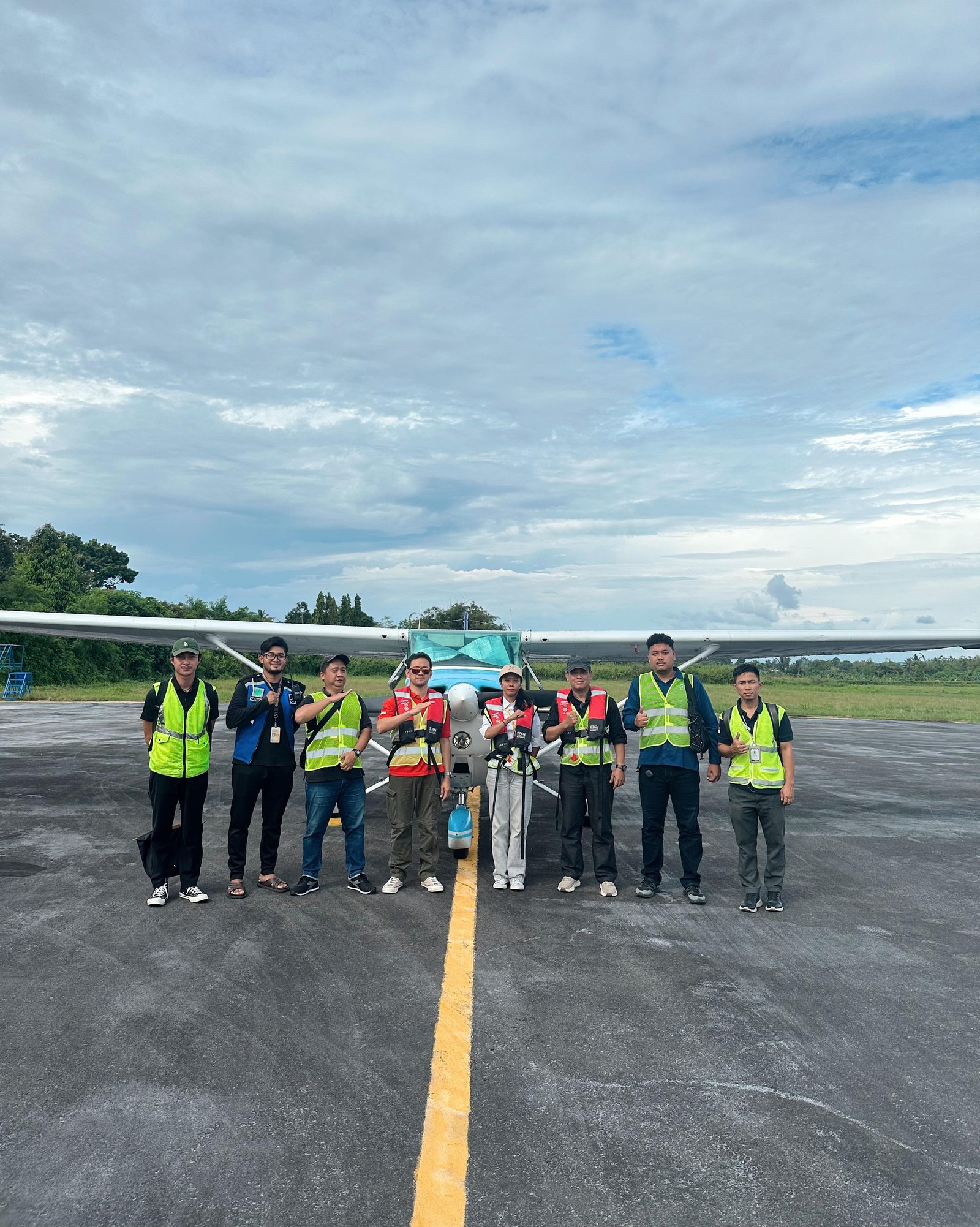
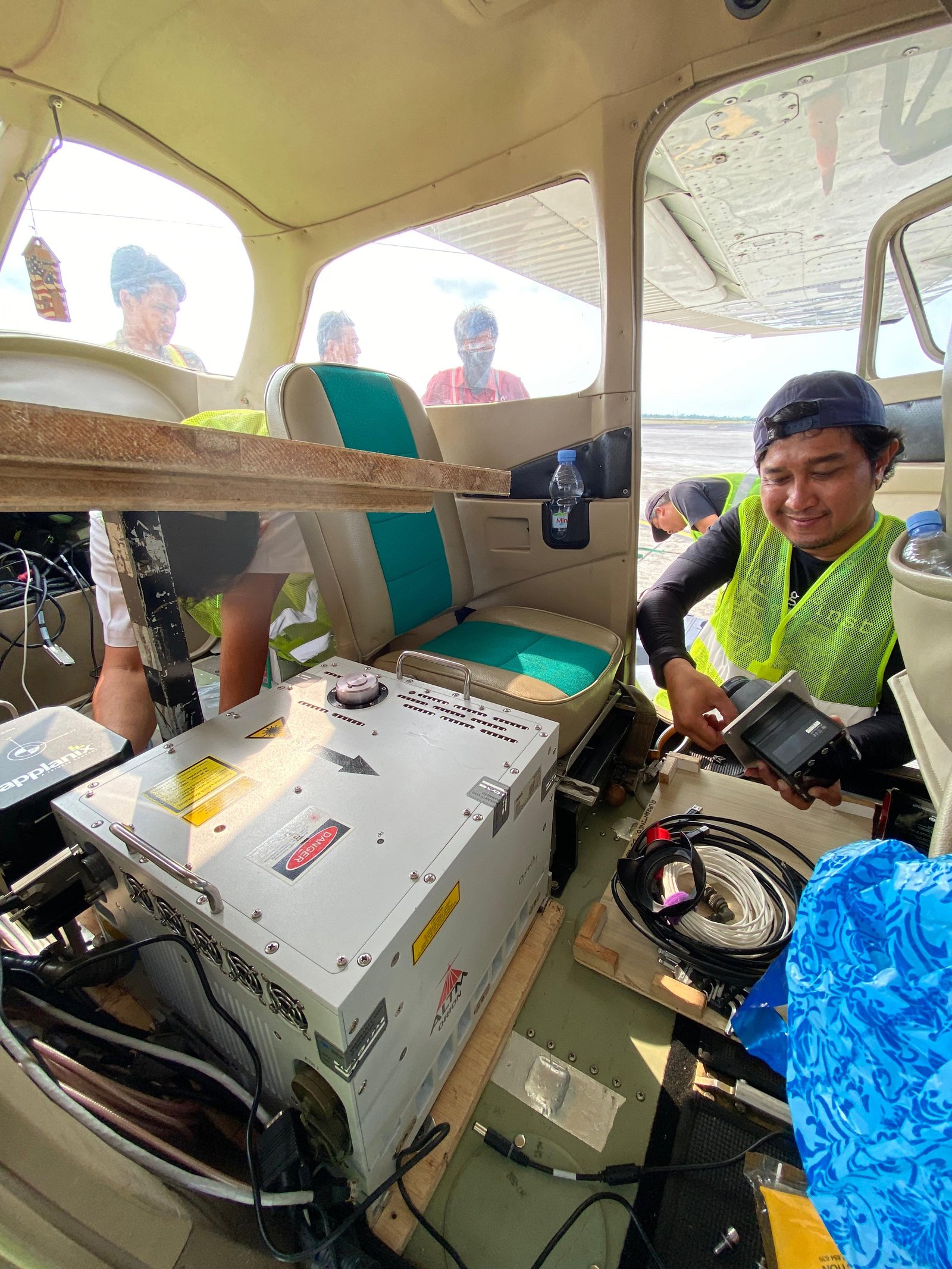
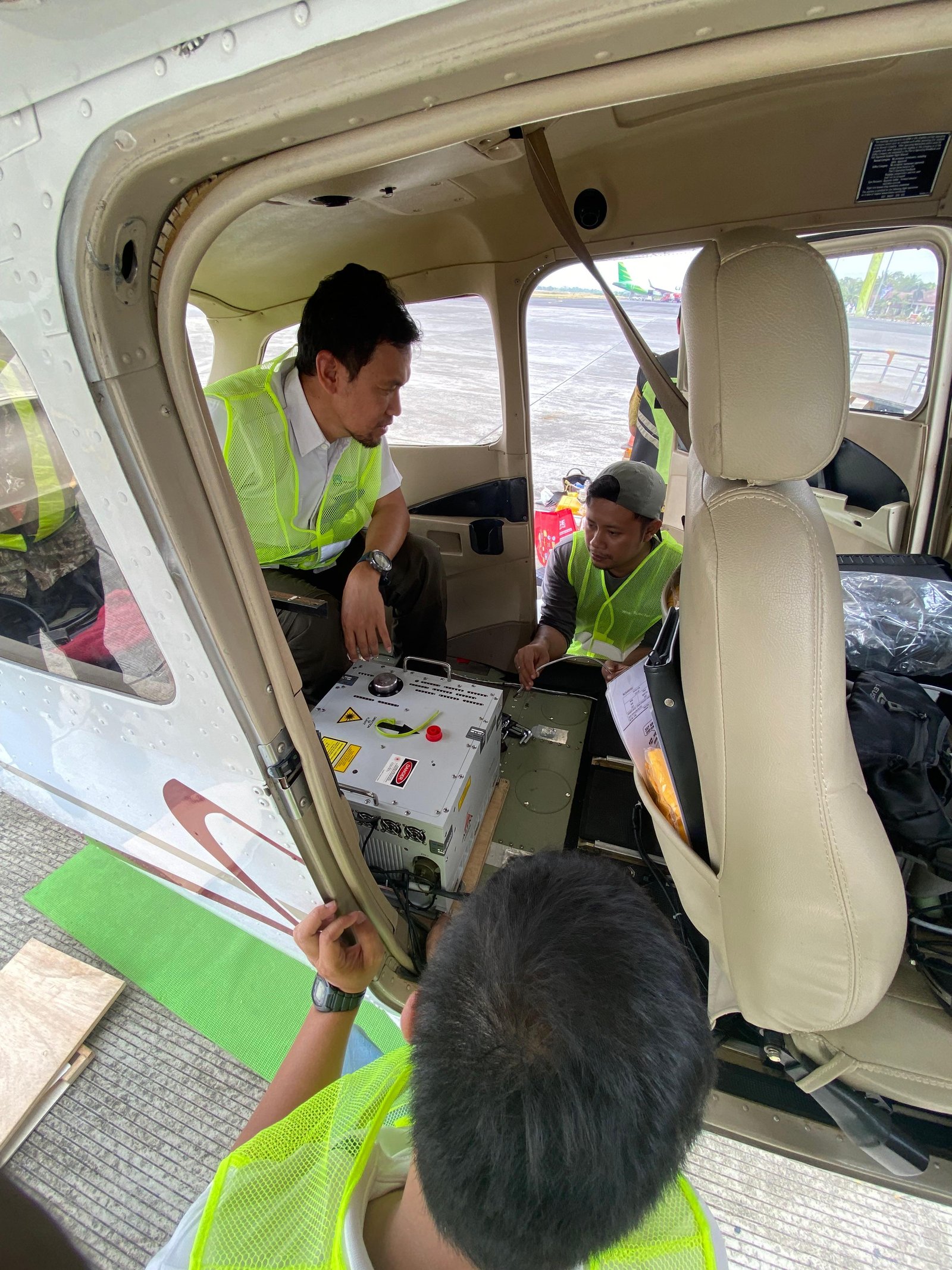
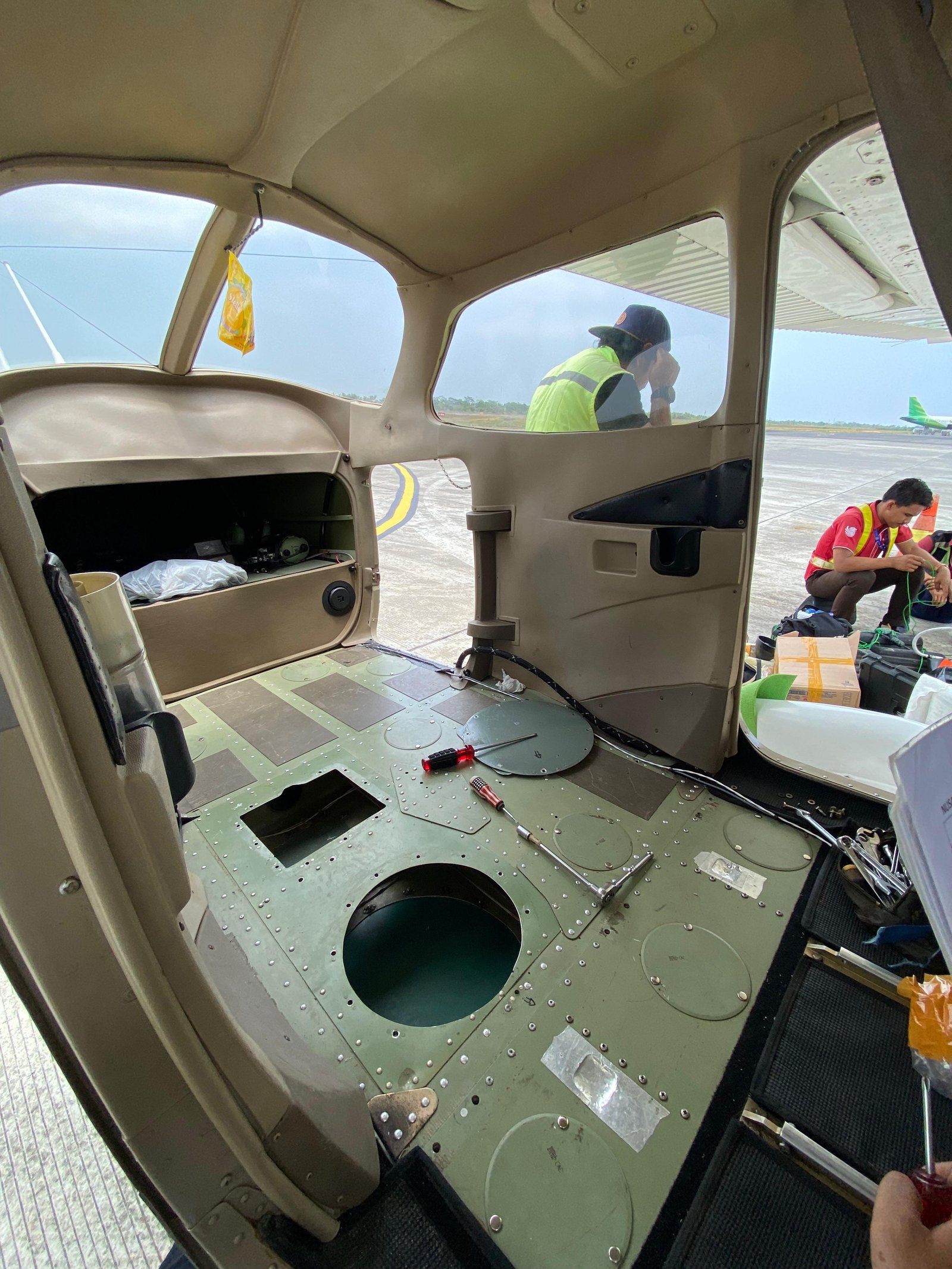
Airborne LiDAR Services
Modern mapping solution based on laser scanning technology mounted on aircraft to obtain high-accuracy, large-scale 3D geospatial data.
Introduction
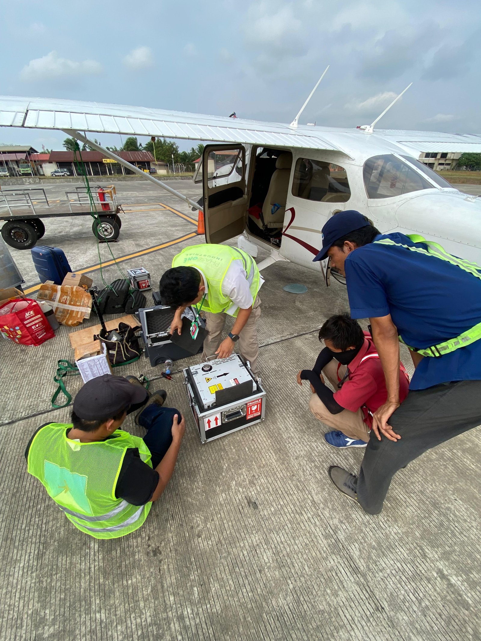
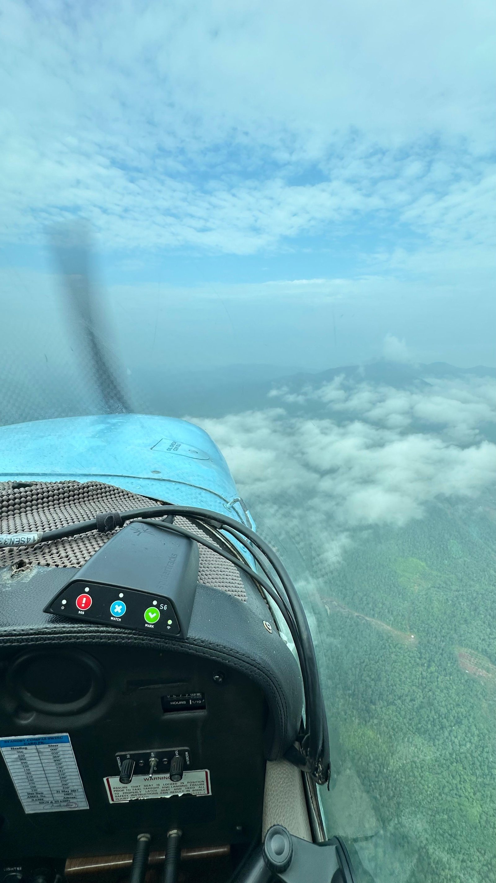
Airborne LiDAR services represent a modern mapping solution leveraging laser scanning technology mounted on fixed-wing or rotary aircraft to capture high-accuracy 3D geospatial data across expansive geographic regions. This technology produces highly detailed and efficient earth surface models, even in areas with dense vegetation or limited physical access.
Supported by high-precision navigation systems (GNSS and IMU), Airborne LiDAR records millions of coordinate points in a point cloud that accurately represents ground surface topography, structures, and vegetation architecture.
Airborne LiDAR Advantages
Extensive Coverage & Efficient
Capable of mapping areas spanning thousands of hectares in a relatively short timeframe.
High Accuracy
Generates elevation data with high precision to meet diverse technical engineering demands.
Vegetation Penetration
Multi-return laser technology allows accurate ground surface modeling even beneath dense forest canopies.
Optimal Performance in Any Condition
Independent of ambient lighting conditions, maintaining optimal results across various environmental states.
Utilization
Mapping & Spatial Planning
Used for compiling detailed topographic maps as a foundation for regional planning, detailed spatial plans (RDTR), and accurate land suitability analysis.
Disaster Mitigation
Assists in modeling flood risks, landslides, and water flow analysis based on accurate terrain data.
3D Modeling & Visualization
Produces 3D terrain models for presentations, simulations, and visual-based planning requirements.
Service Output
Point Cloud (LAS/LAZ)
High-density raw 3D coordinate point datasets representing the detailed surface features and terrain.
DSM (Digital Surface Model)
Surface model representing heights of all objects above the ground, including buildings and vegetation.
DTM (Digital Terrain Model)
Bare-earth surface model filtered from above-ground objects, ideal for topographic analysis and engineering plans.
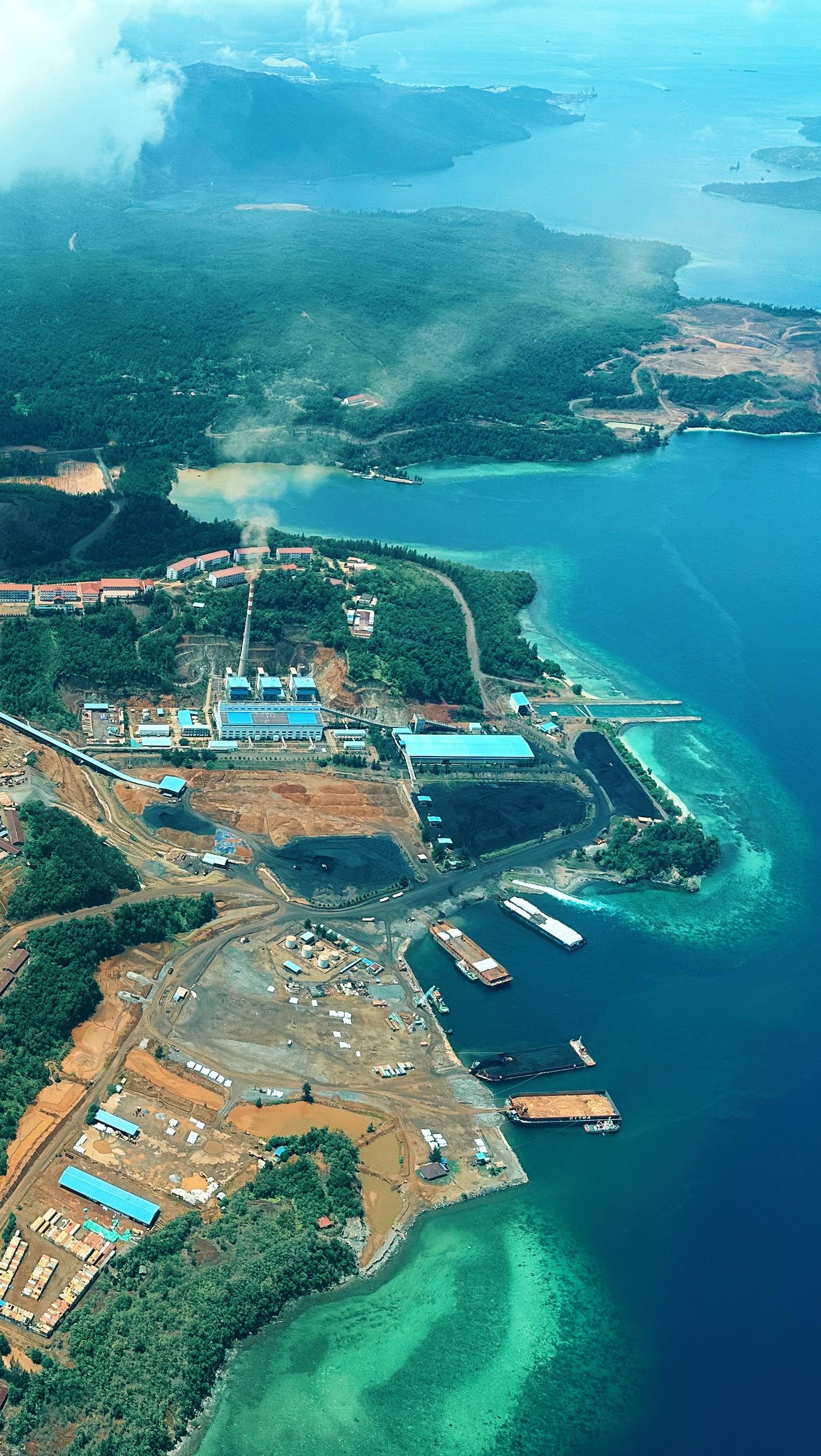
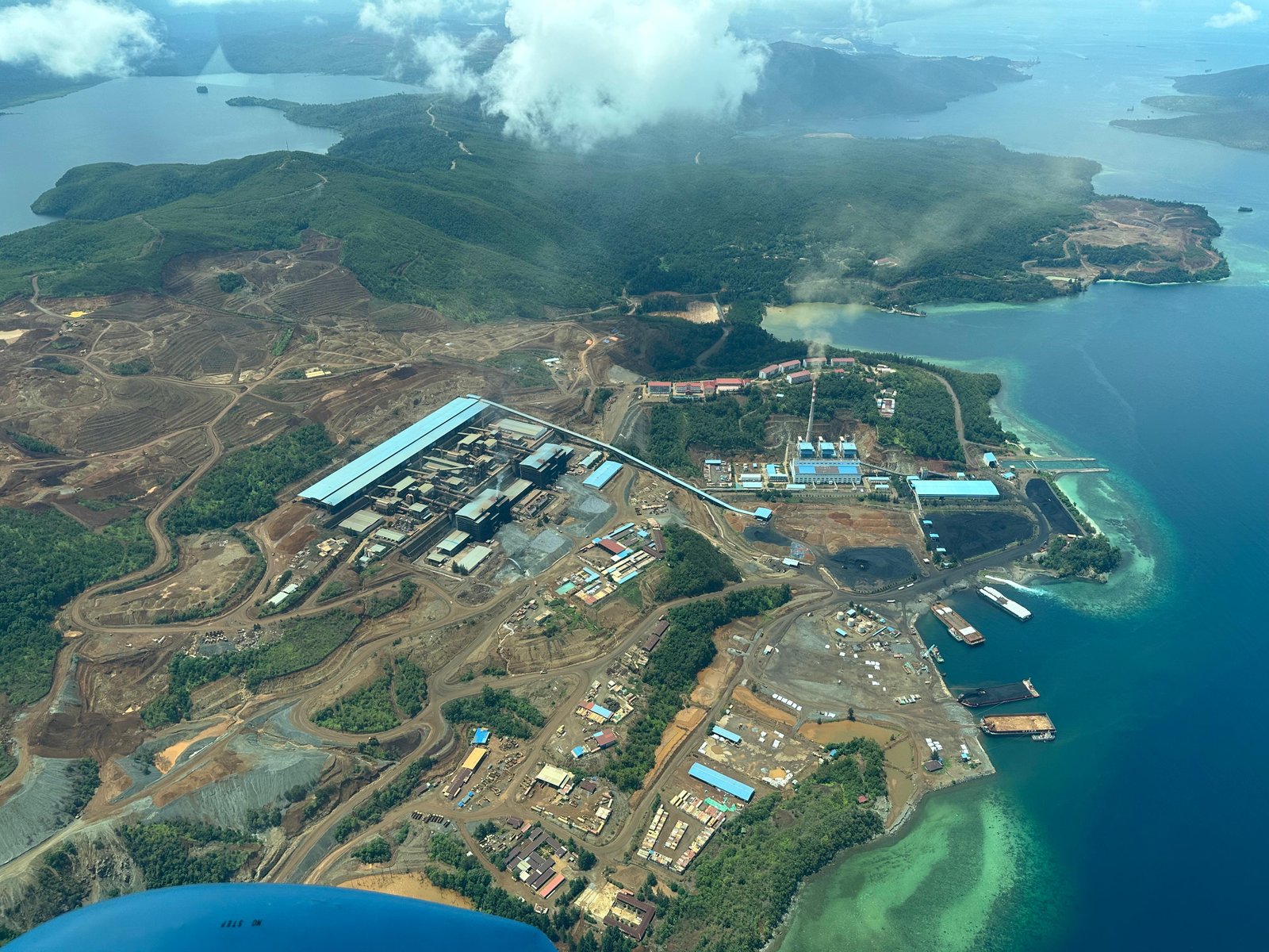
Sample Output
Airborne LiDAR Gallery


Our Commitment
Supported by modern Airborne LiDAR technology and a professional team experienced in geospasial surveying and mapping, we are committed to providing detailed, accurate, and reliable 3D spatial data for various industry needs. Through efficient data acquisition processes, strict quality standards, and data processing using state-of-the-art technologies, we deliver geospatial information capable of supporting planning, analysis, monitoring, and faster, more precise decision-making.