UAV LiDAR Services
Aerial laser scanning technology using drones to generate highly detailed and accurate three-dimensional surface models.
Introduction
UAV LiDAR (Light Detection and Ranging based on Unmanned Aerial Vehicle) is a mapping technology that uses laser sensors mounted on drones to accurately measure the distance between the sensor and the Earth's surface. This system works by emitting thousands to millions of laser pulses per second to the surface, then calculating the reflection return time to generate highly precise 3D coordinate data.
The main advantage of UAV LiDAR compared to conventional methods is its ability to penetrate vegetation, enabling it to capture the ground surface model even under thick tree canopy. The final output is a detailed point cloud that can be processed into various derivatives such as Digital Terrain Models (DTM), Digital Surface Models (DSM), contours, and 3D models.
LiDAR UAV Advantages
High Accuracy (Centimeter Level)
Produces elevation data and 3D coordinates with high precision, making it extremely reliable for engineering planning and technical analysis.
Faster Data Acquisition
Data collection can be completed in a short timeframe for extensive areas, significantly accelerating overall project timelines.
Flexible for Diverse Terrain
Can be deployed in hard-to-reach locations such as mountains, forests, and remote territories.
Supports Advanced Analysis
LiDAR data can be utilized for various analyses including volumetric calculations, hydrology, land-use changes, and infrastructure planning.
Utilization
Mapping & Spatial Planning
Used for compiling detailed topographic maps as a foundation for regional planning, detailed spatial plans (RDTR), and accurate land suitability analysis.
Disaster Mitigation
Assists in modeling flood risks, landslides, and water flow analysis based on accurate terrain data.
3D Modeling & Visualization
Produces 3D terrain models for presentations, simulations, and visual-based planning requirements.
Service Output
Point Cloud (LAS/LAZ)
High-density 3D coordinate dataset representing the detailed terrain and surface object features.
DSM (Digital Surface Model)
Surface model representing heights of objects above the ground such as buildings and vegetation.
DTM (Digital Terrain Model)
Bare-earth surface model filtered from vegetation and structures, ideal for topographic analysis and construction design.
Sample Output
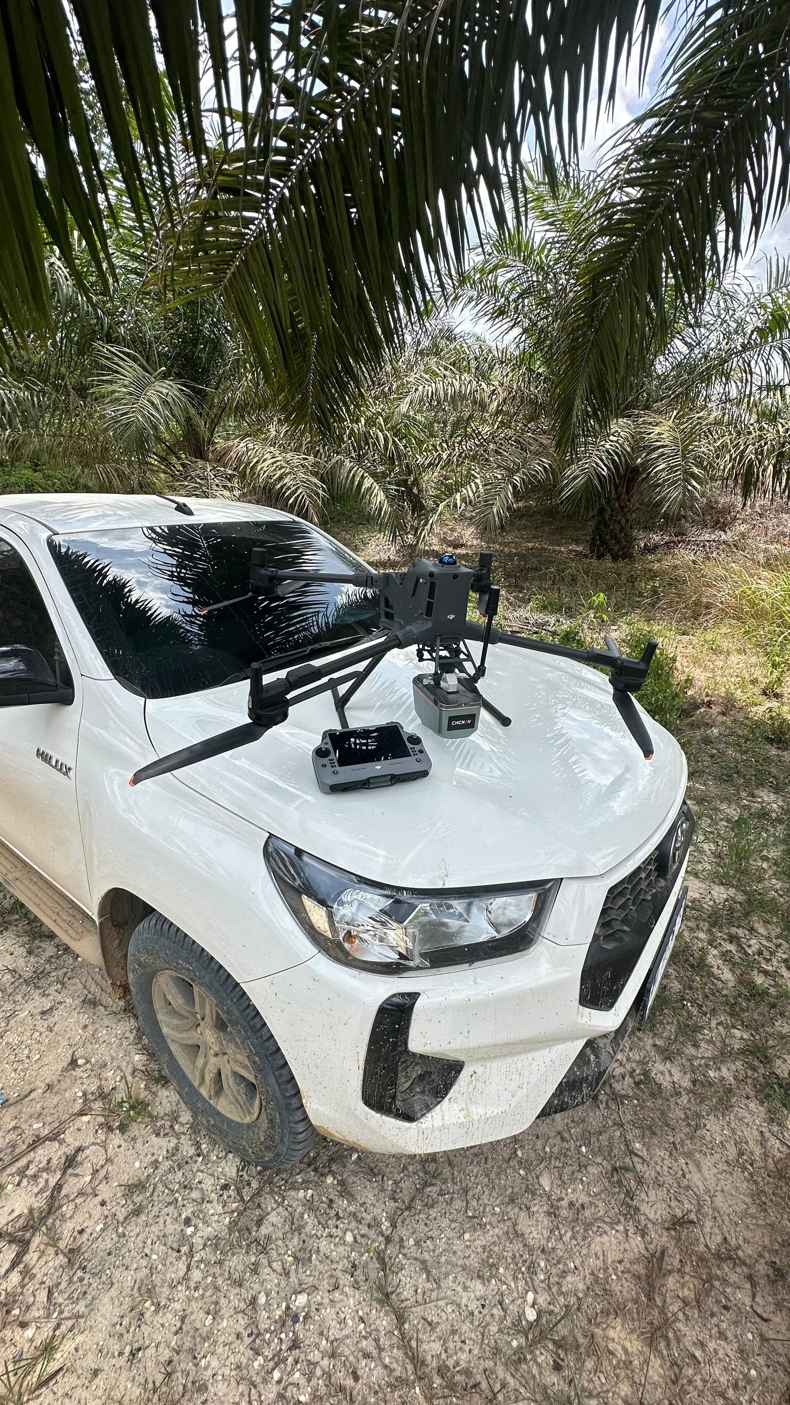
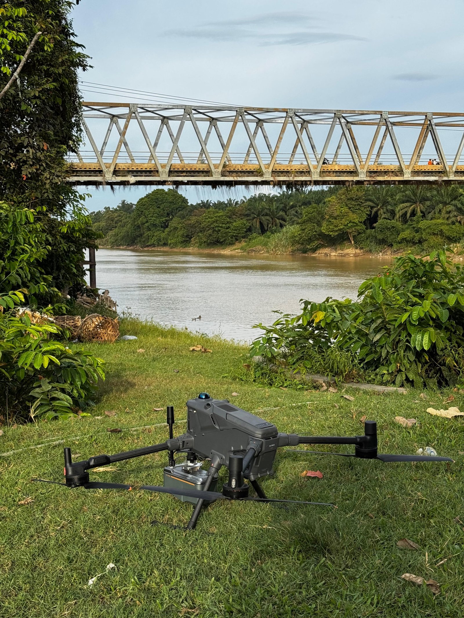
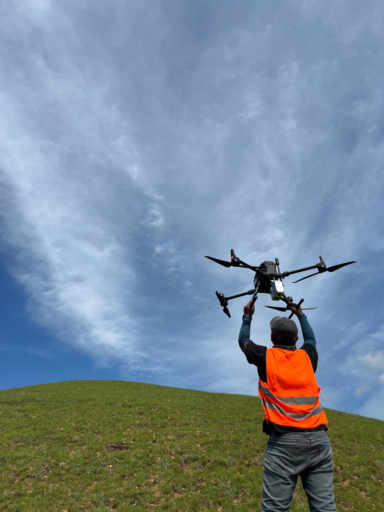
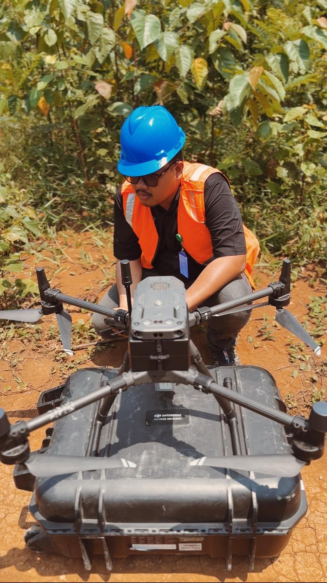
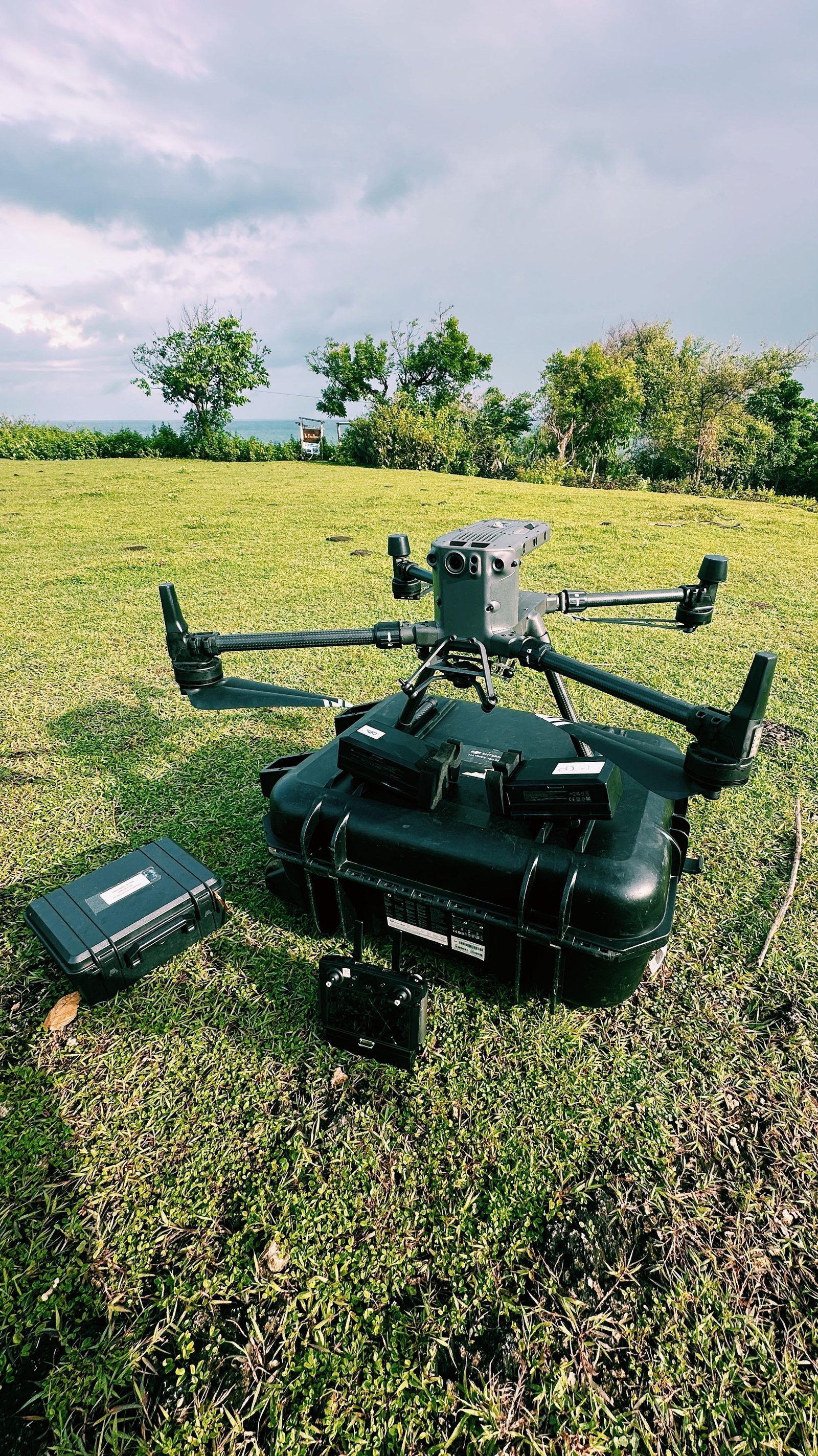
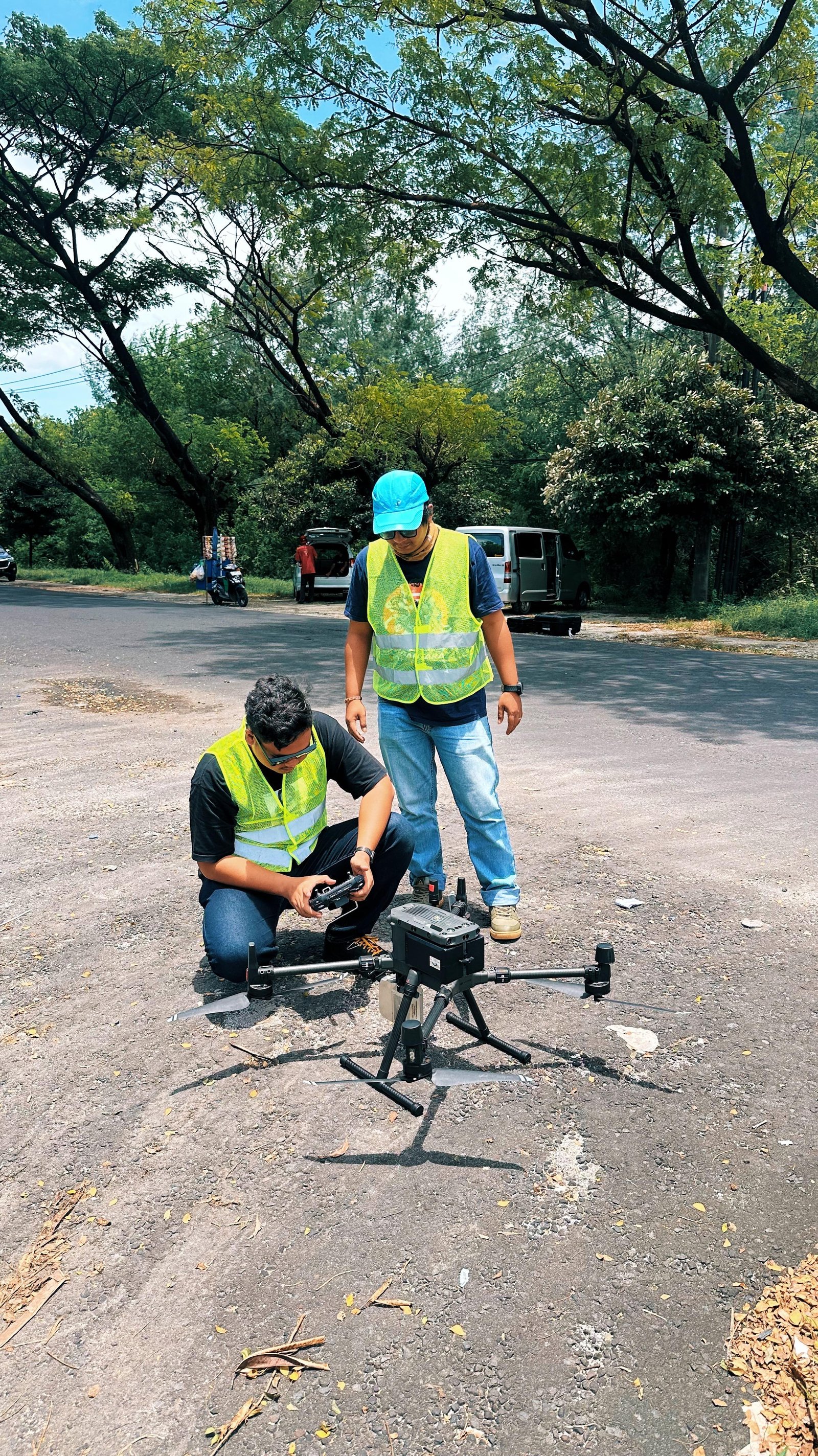
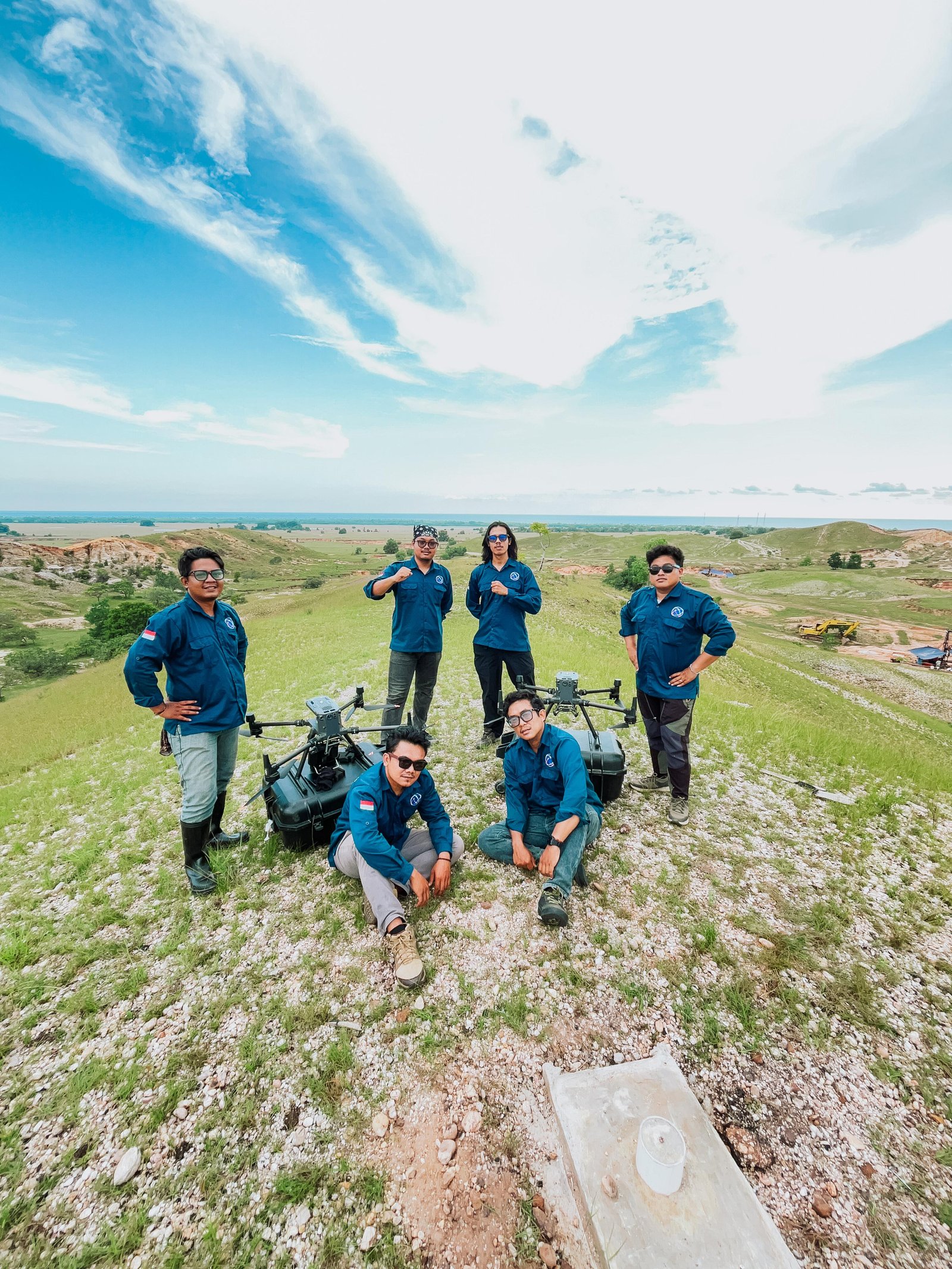
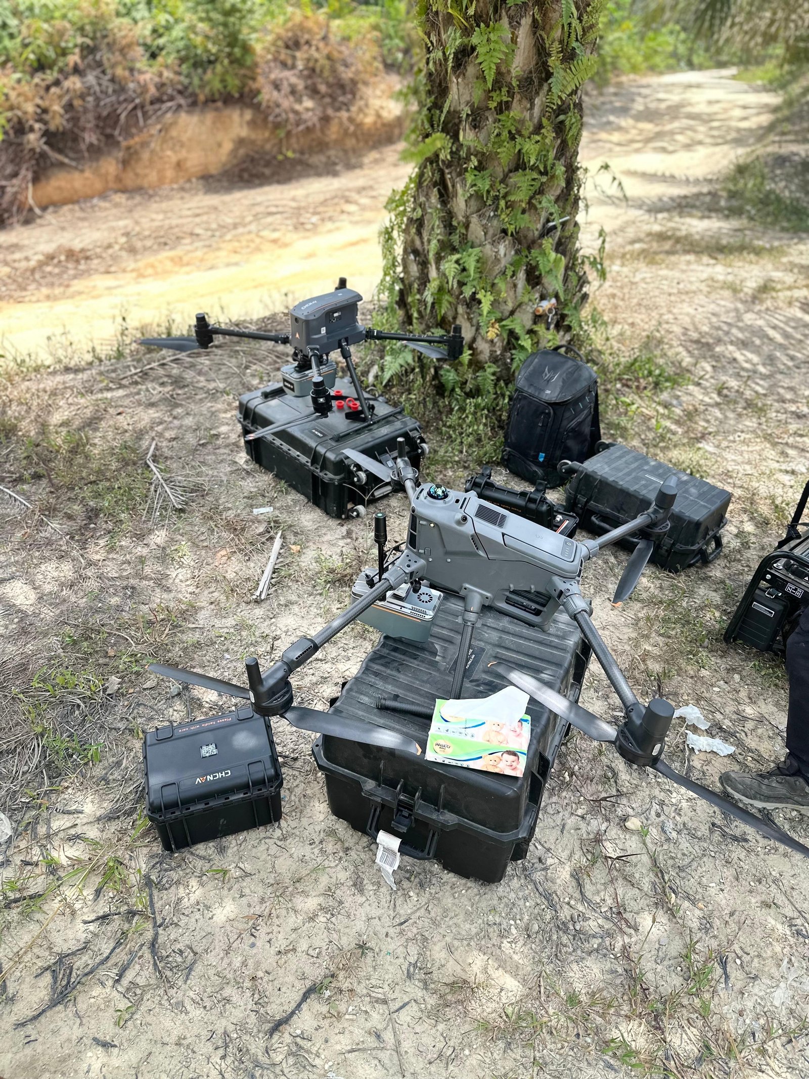
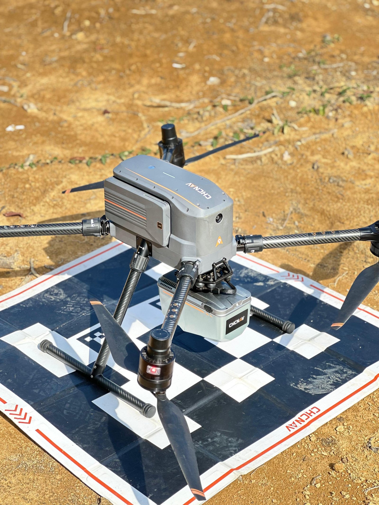
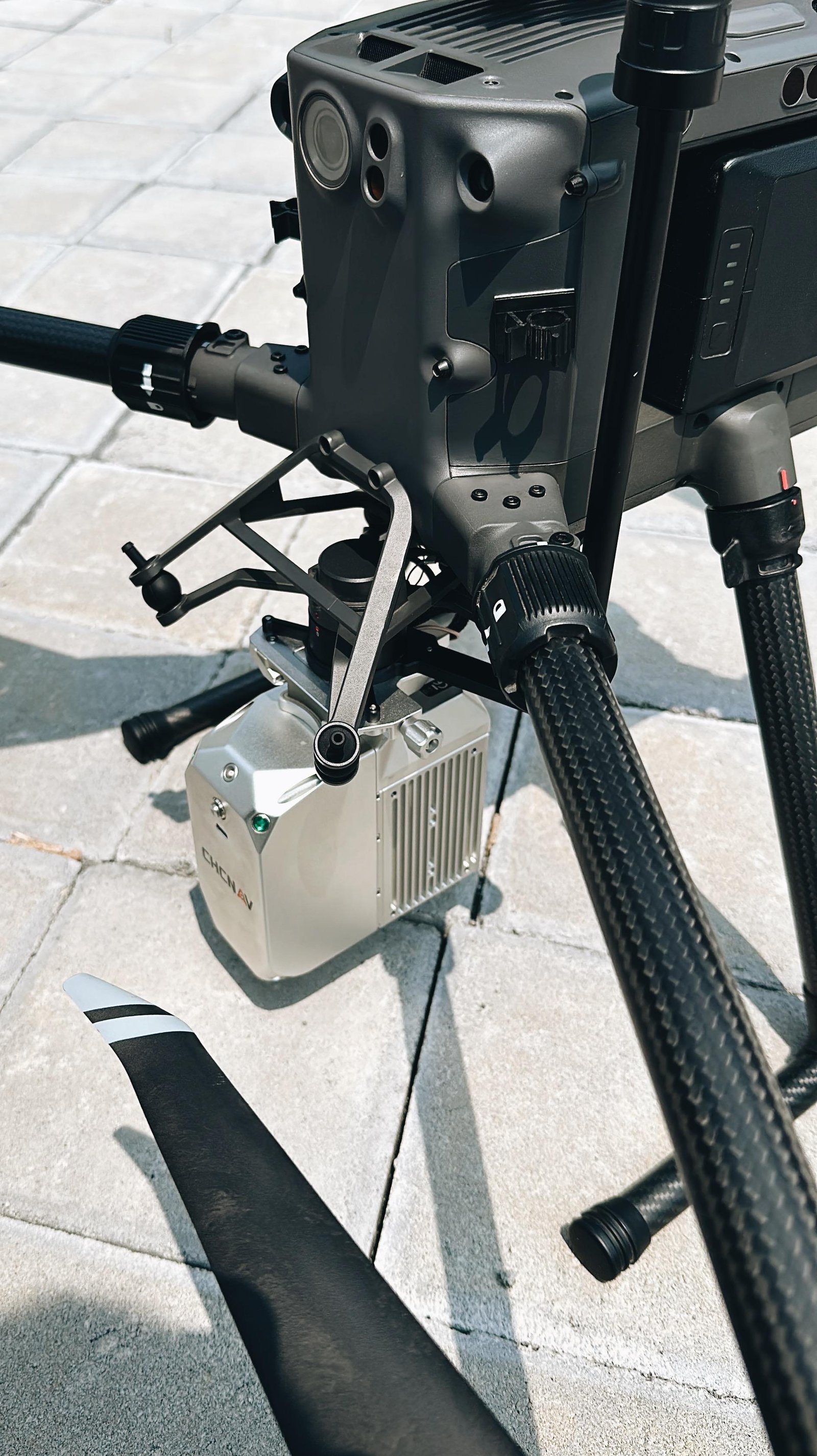
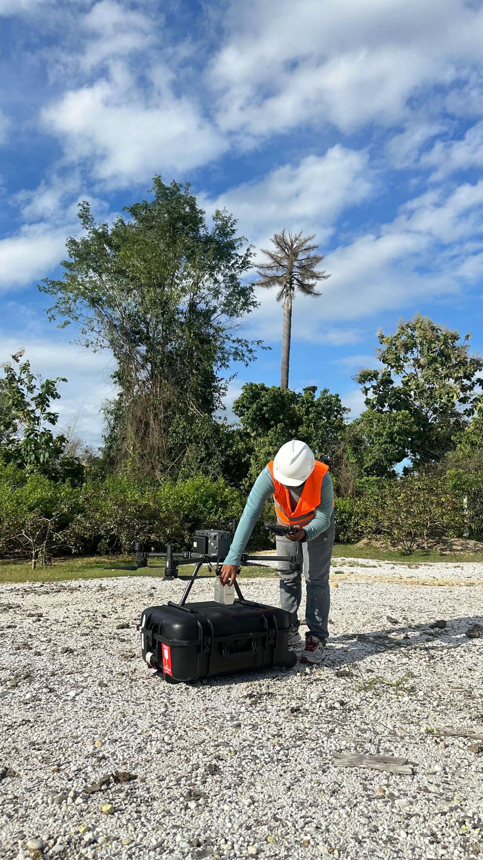
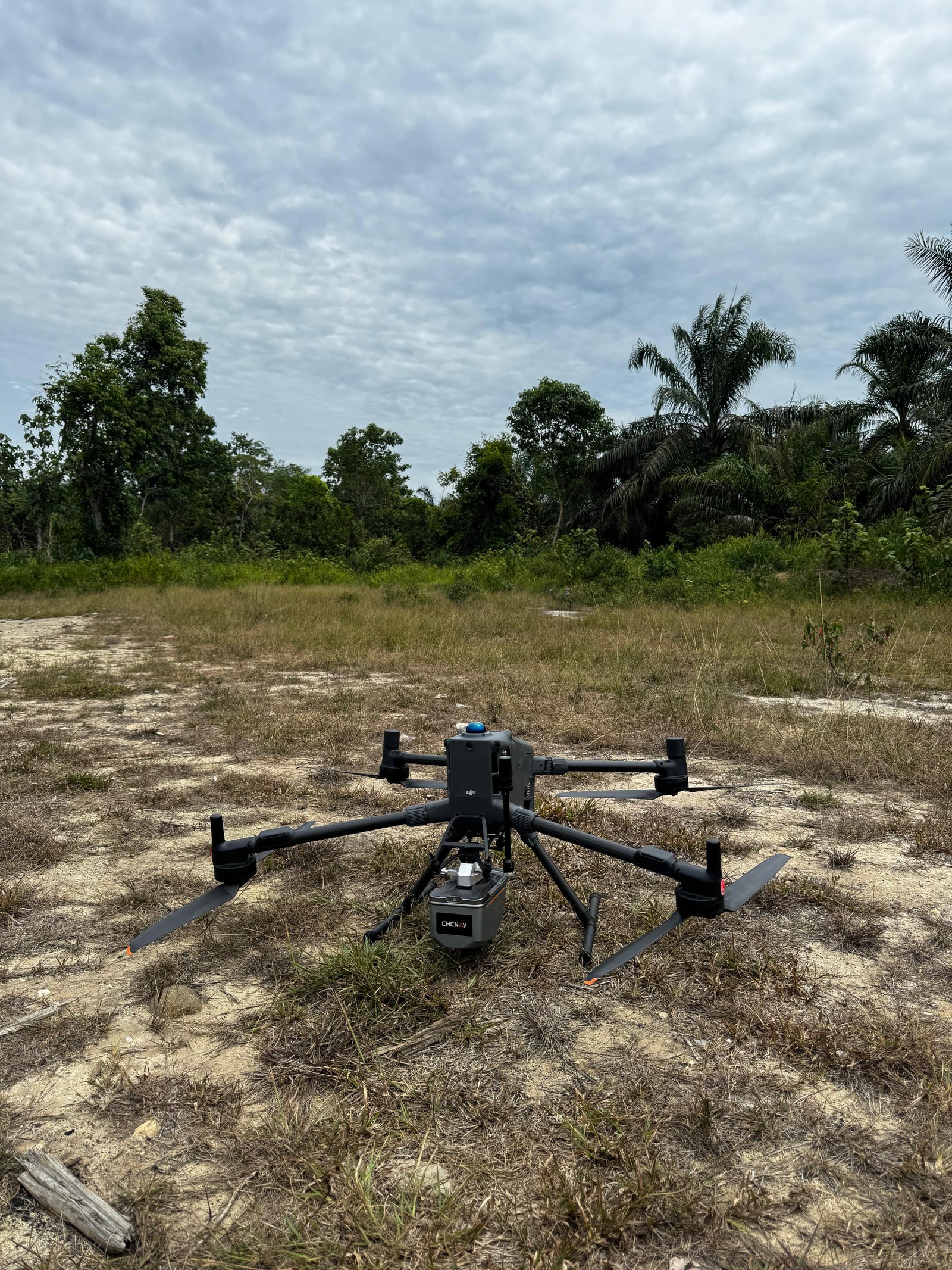
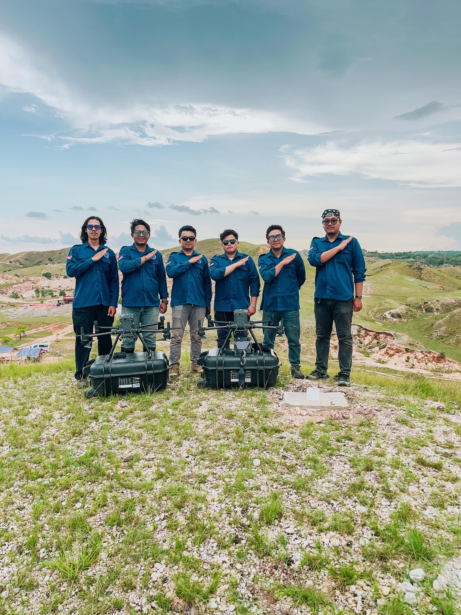
LiDAR UAV Gallery
Our Commitment
We are committed to providing highly accurate, efficient, and premium UAV LiDAR services to meet professional geospatial mapping and surveying requirements. Leveraging modern LiDAR sensors integrated with UAVs and a highly skilled technical team, we ensure every data acquisition and processing phase conforms to strict precision standards to deliver reliable, detailed, and trusted datasets. Driven by professionalism and the continuous evolution of geospatial technology, we stand ready to be your trusted partner in delivering modern, effective, and high-value UAV LiDAR services for every client.