LoD 3D Modeling Services
Three-dimensional object representation with a specific level of detail to visualize buildings, infrastructure, or land surfaces visually and informatively.
Introduction
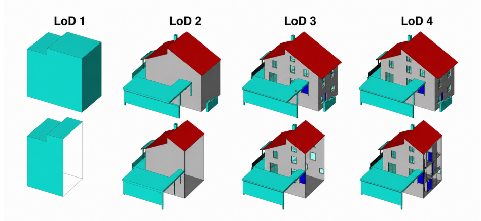
LOD (Level of Detail) 3D Model is a representation of three-dimensional objects with a specific level of detail used to display buildings, infrastructure, or land surfaces visually and informatively. Our LoD 3D Model service is a three-dimensional modeling solution that can represent objects or areas with specific detail levels according to analysis and visualization needs. These 3D models are built based on geospatial data such as aerial photos, LiDAR, or field surveys to produce realistic, accurate, and structured representations of buildings, land surfaces, and environments. The implementation of LoD allows models to be presented from simple shapes to complex architectural details, making them useful for urban planning, simulations, and regional management.
Supported by state-of-the-art modeling technology, this service is capable of producing informative and interactive 3D visualizations to support spatial analysis and decision-making. The generated models can be integrated with GIS platforms or other digital applications, making it easier to monitor, plan developments, and develop smart city and digital twin concepts.
Service Advantages
Realistic Visualization
Displays objects and areas in three-dimensional formats that are highly informative and easy to understand.
Flexible Level of Detail
Model creation can be customized to match specific LoD requirements.
Geospatial Data Integration
Can be seamlessly combined with GIS, LiDAR, and aerial photography data.
Supports Analysis & Simulation
Facilitates spatial evaluation, planning, and regional development.
Utilization
Urban Planning & Development
Helps visualize and plan urban areas more effectively.
Smart City & Digital Twin
Supports monitoring and city management based on digital 3D models.
Infrastructure & Construction
Used for infrastructure planning and construction monitoring.
Area & Property Visualization
Displays areas and buildings realistically and appealingly.
Spatial & Environmental Analysis
Helps spatial analysis and regional management optimally.
Data Output
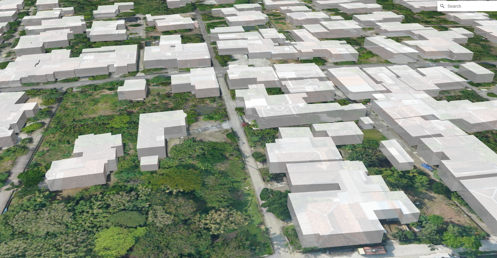
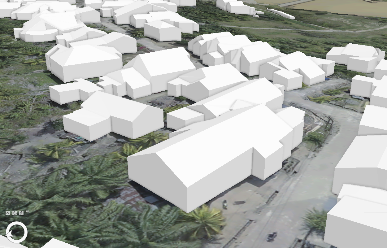
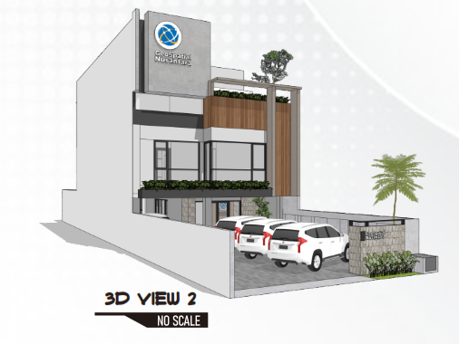
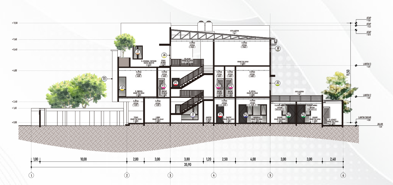
3D Building Model
Precise three-dimensional building models.
3D City Model
Visualization of areas or cities in 3D format.
Textured Visualization
Realistic visualization with realistic object textures and colors.
Sample Output
Our Commitment
We are committed to delivering highly accurate, detailed, and premium 3D modeling services by leveraging modern geospatial technology and experienced professionals, to generate visualizations and spatial data that effectively support analysis, planning, and decision-making.