Mobile Mapping
Fast geospatial data acquisition service using vehicles equipped with LiDAR, cameras, GNSS, and IMU sensors for road corridor and infrastructure mapping.
Introduction
Mobile Mapping is a geospatial data acquisition technology executed using vehicles equipped with sensors such as LiDAR, cameras, GNSS, and IMU to record environmental conditions quickly, in detail, and accurately. This technology is capable of producing 3D spatial data in road, urban, and infrastructure areas efficiently.
The Mobile Mapping service provides a modern mapping solution used to obtain geospatial data quickly, in detail, and accurately using vehicles equipped with sensor technologies such as LiDAR, high-resolution cameras, GNSS, and IMUs. This system allows the data acquisition process to be carried out dynamically along the survey route without the need for extensive manual field measurements.
Our Mobile Mapping services are supported by modern equipment and data processing methods to produce high-quality outputs. The generated data can be customized to suit project requirements.
Service Advantages
Fast and Efficient Data Acquisition
Survey process is carried out faster with wide area coverage in a single acquisition pass.
Detailed and Accurate 3D Data
Capable of generating spatial visualizations and information with high levels of detail.
Perfect for Roads and Urban Areas
Effectively used on road corridors, urban areas, and infrastructure.
Supports Large-Scale Mapping
Facilitates efficient data collection over large areas.
Minimizes Manual Field Surveys
Reduces the need for direct measurements, making it safer and more practical.
Utilization
Road & Infrastructure Mapping
Supports inventory of roads, utilities, and public facilities.
Smart City & Digital Twin
Used for visualization and city management based on 3D data.
Monitoring & Asset Management
Helps record and monitor assets in detail and integrated format.
Transportation Planning
Supports analysis and development of transportation systems.
Urban Area Visualization
Displays environmental conditions realistically in 3D form.
Service Output
3D Point Cloud
Detailed 3D point data from scanning objects and the environment.
Geotagged Photos
Photos automatically embedded with location coordinate information.
3D Road & Environment Models
Visualization of survey area conditions in the form of three-dimensional models.
Infrastructure Inventory Data
Structured information of infrastructure assets and facilities.
Orthophoto Corridor
Road corridor imagery with accurate positioning and scale.
GIS and WebGIS Integration
Data ready for use on GIS or WebGIS platforms.
Sample Output
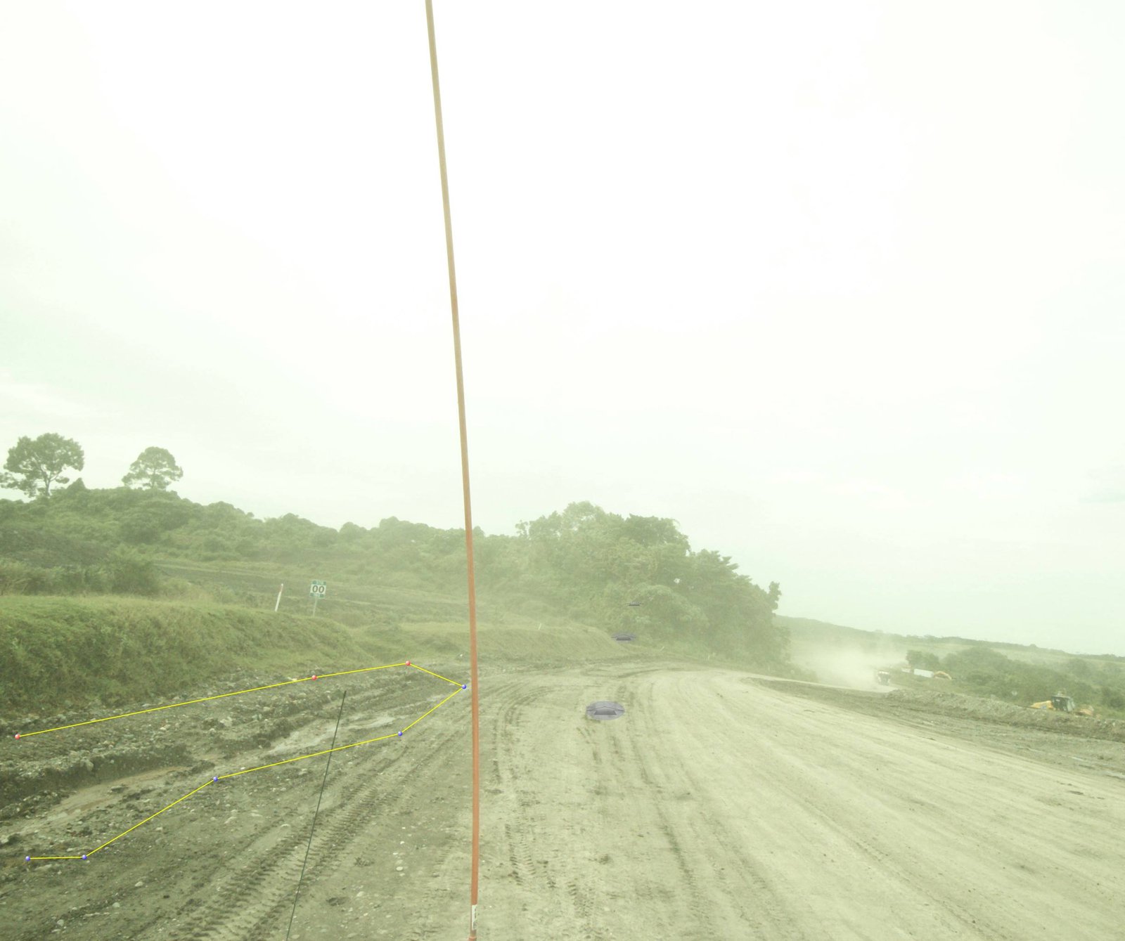
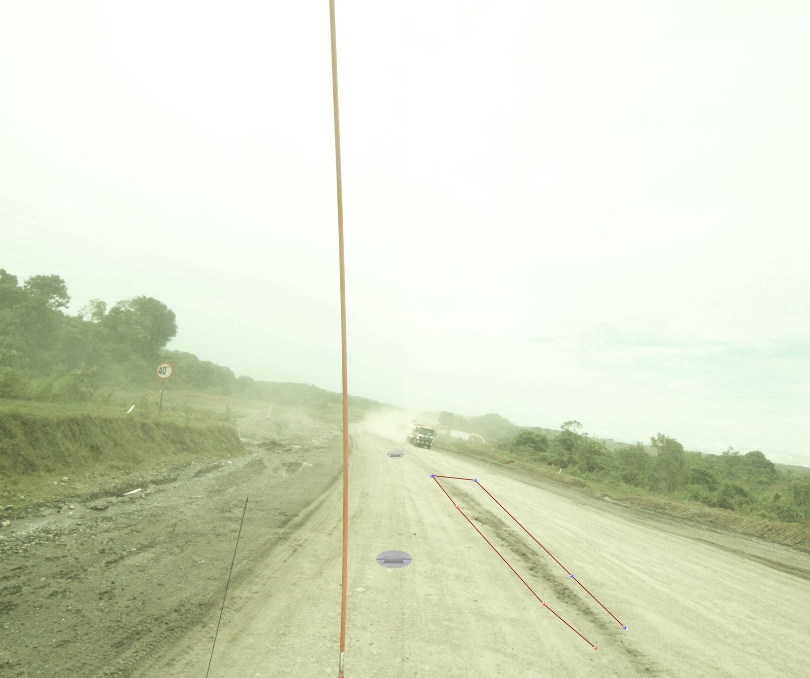
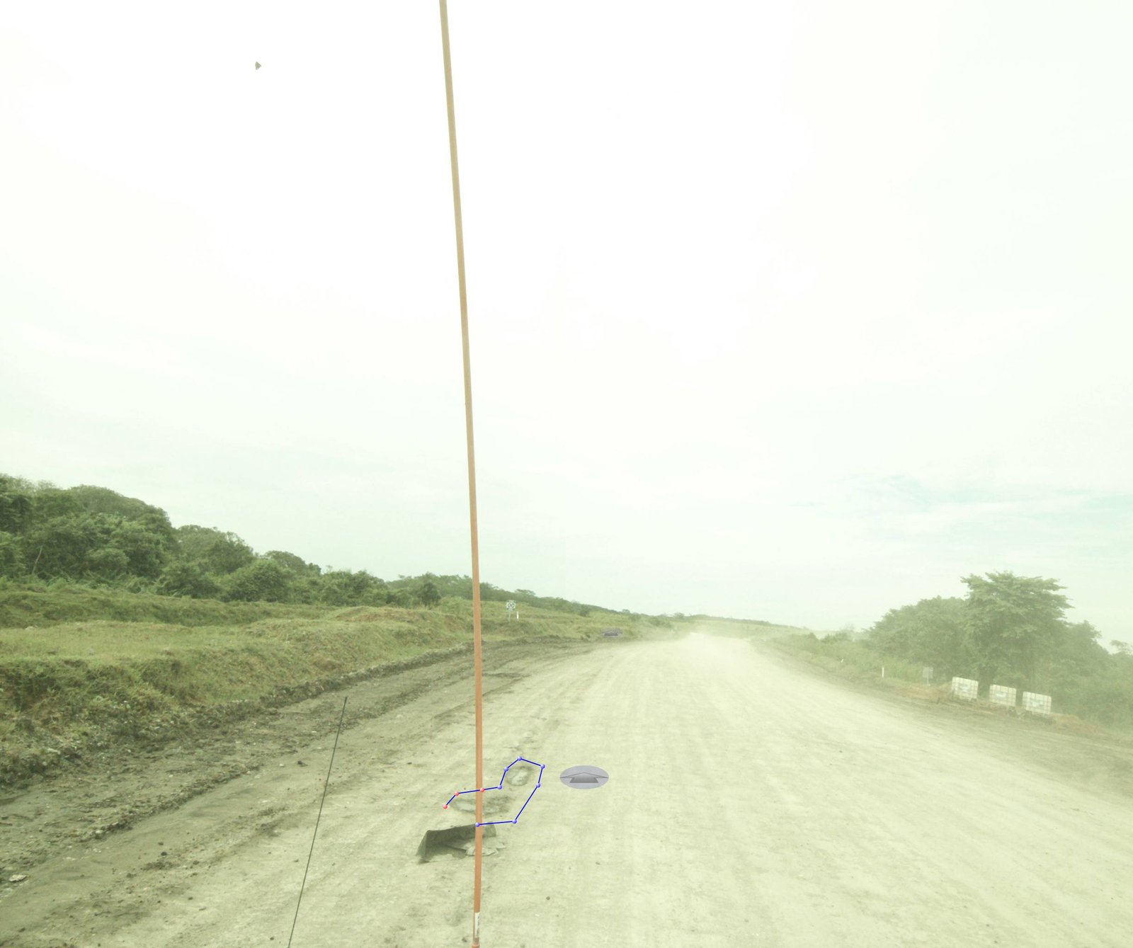
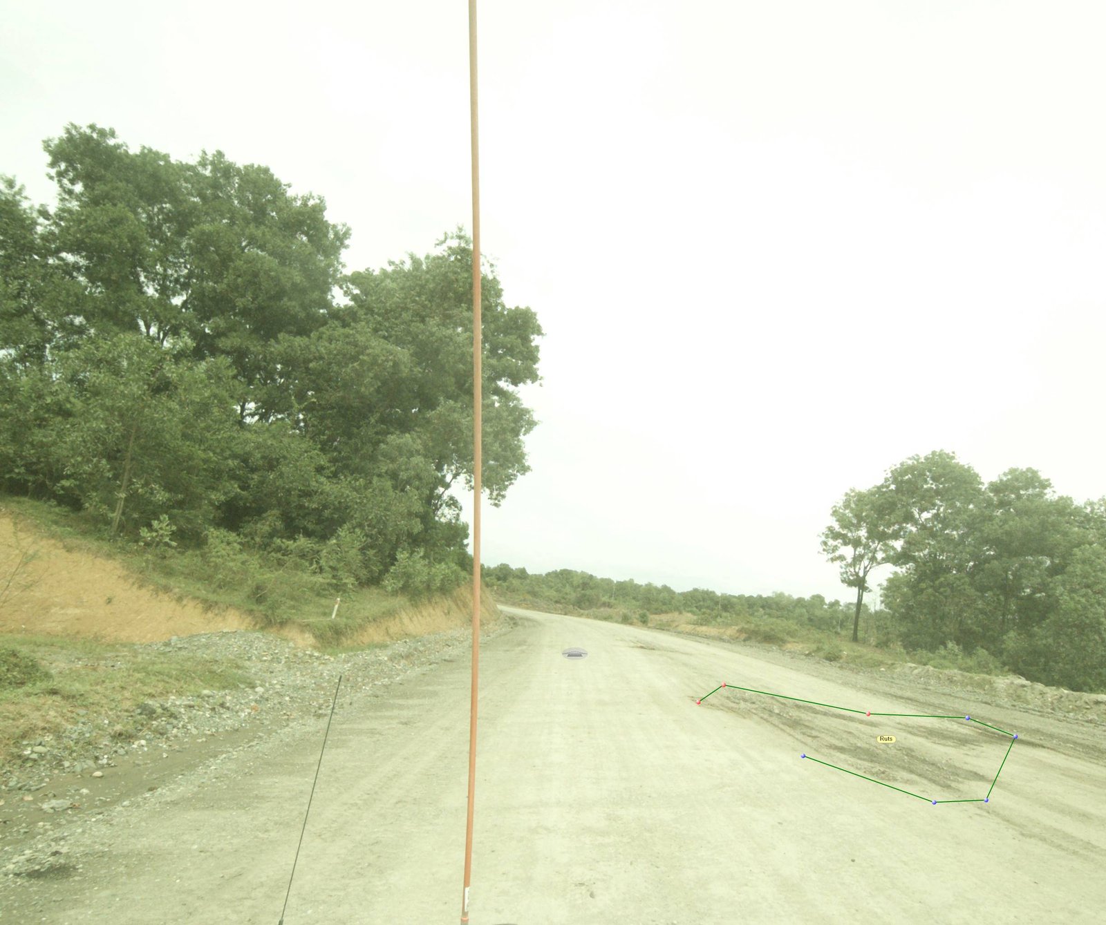
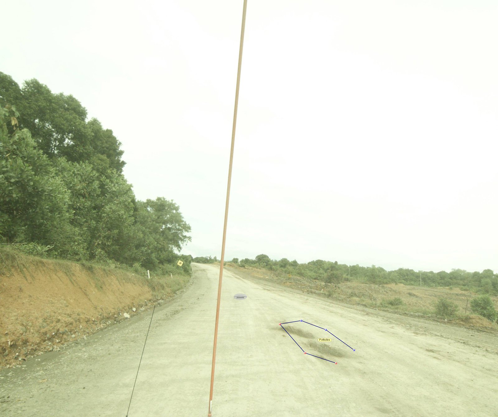
Our Commitment
We are committed to delivering Mobile Mapping services with accurate, detailed, and efficient data results to support various mapping and infrastructure inventory needs. Supported by modern technology and professional staff, every survey process is carried out optimally to produce high-quality data ready for analysis, visualization, and decision making.